[ SERVICES / MULTISPECTRAL AND THERMAL DRONE SURVEYS FOR AGRICULTURE ]
/ SERVICE #18
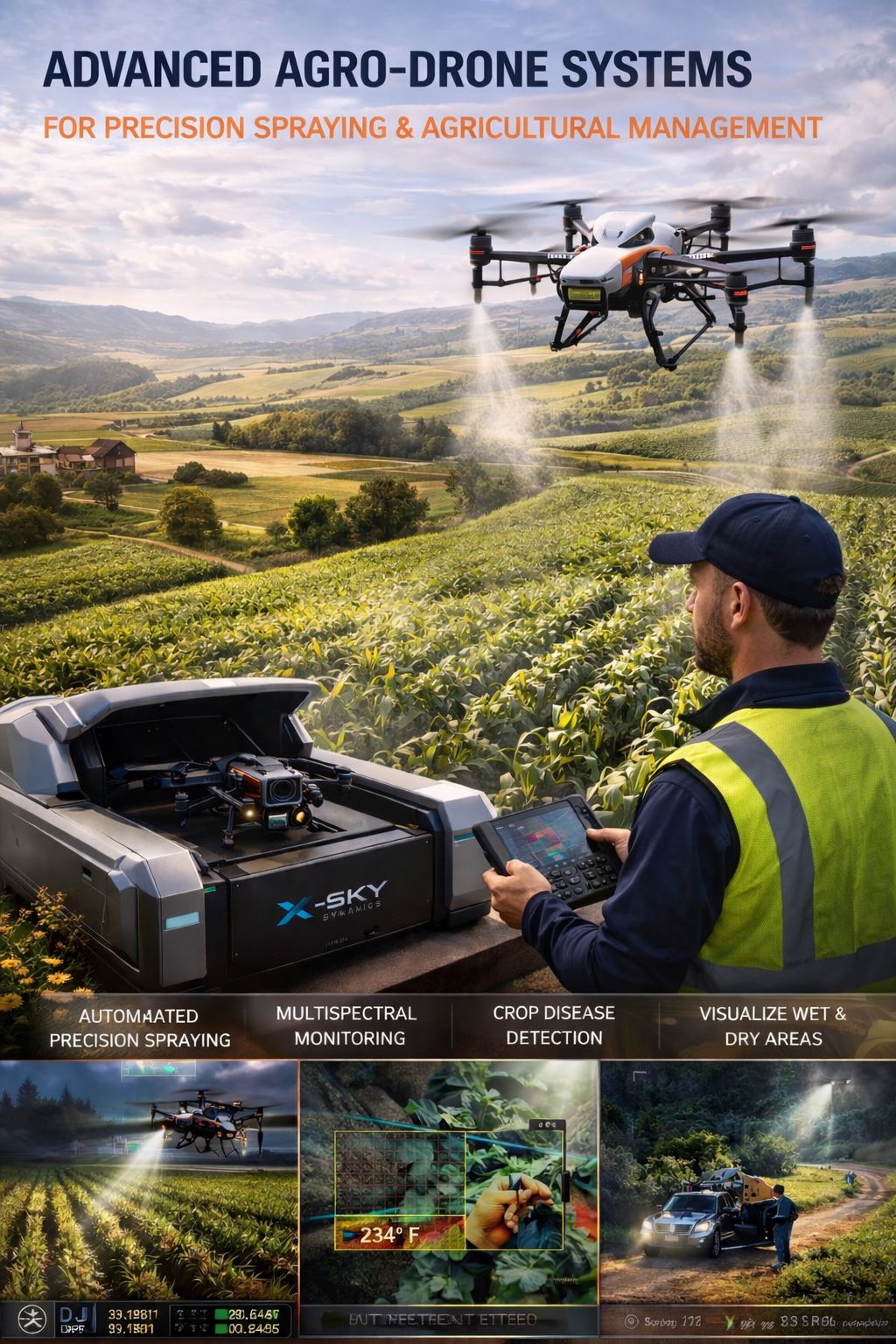
Multispectral and Thermal Drone Surveys for Agriculture and Livestock
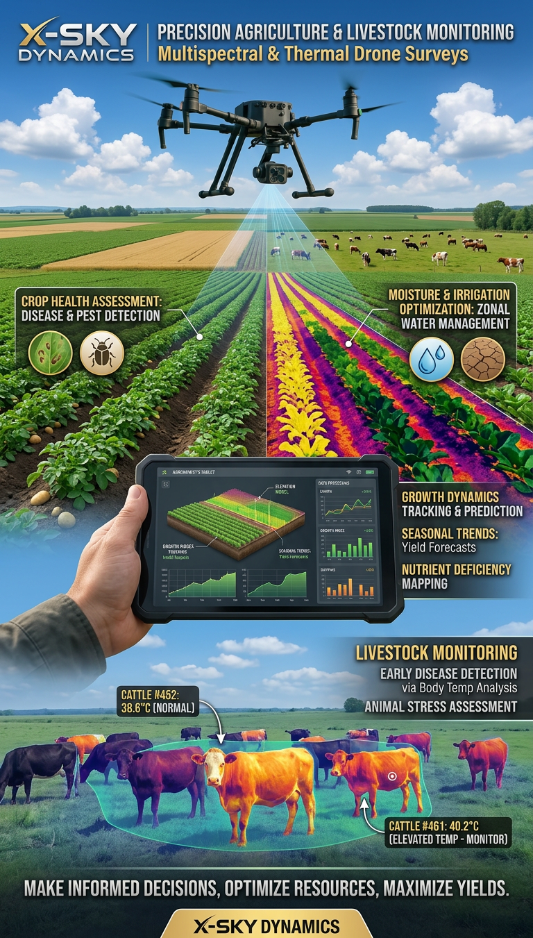
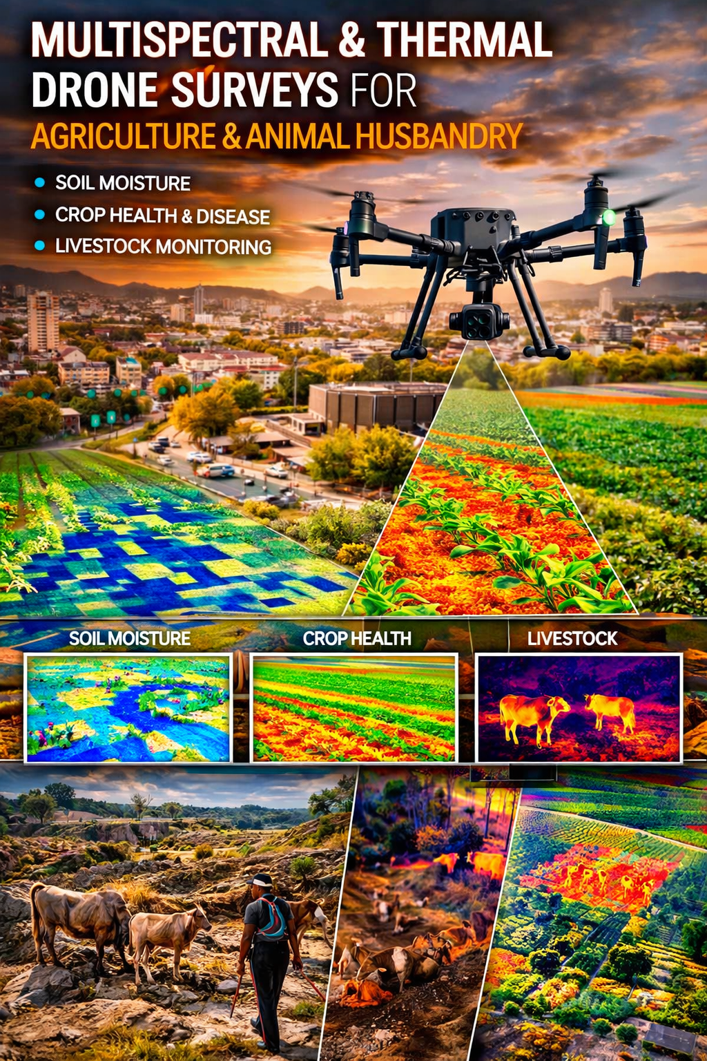
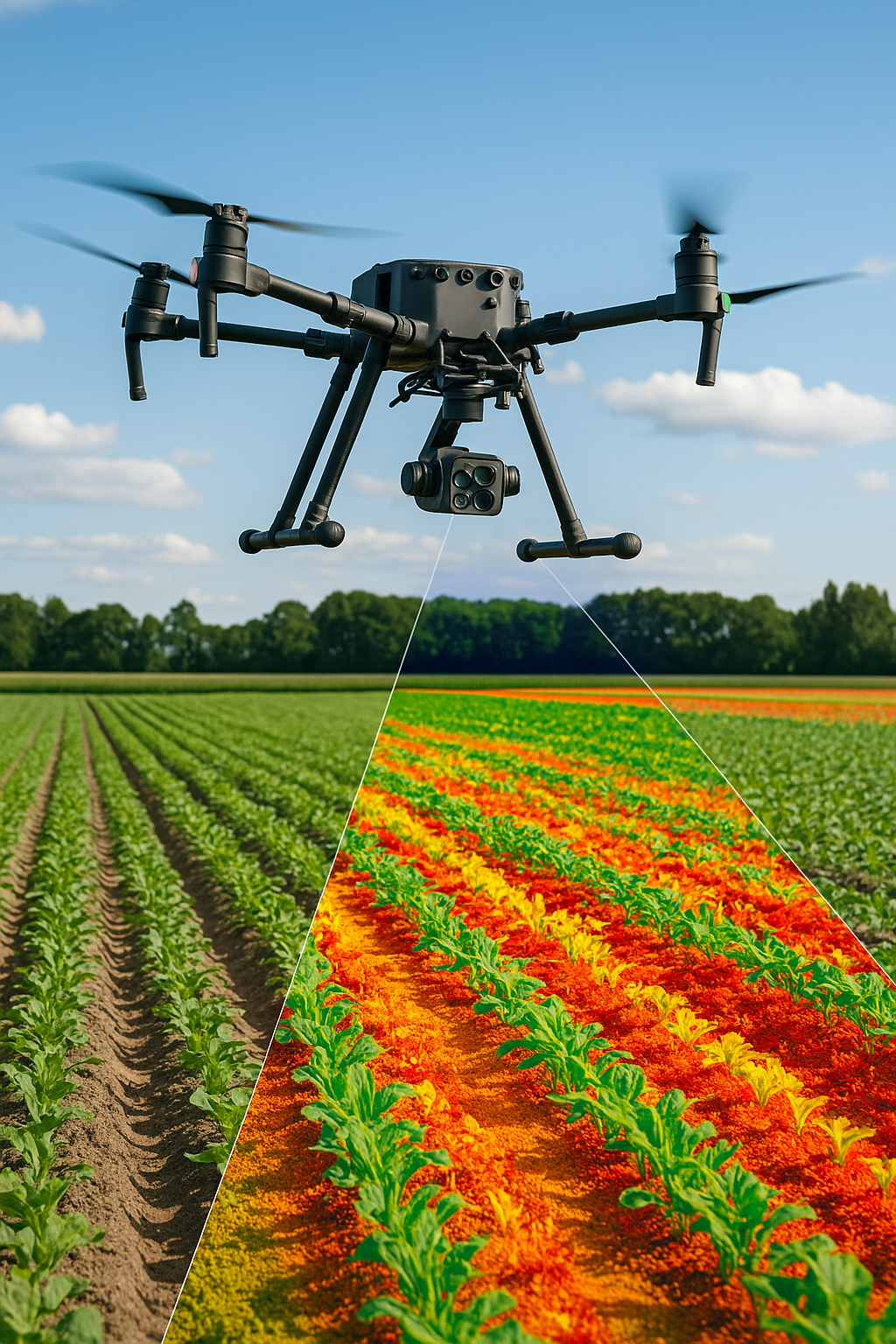
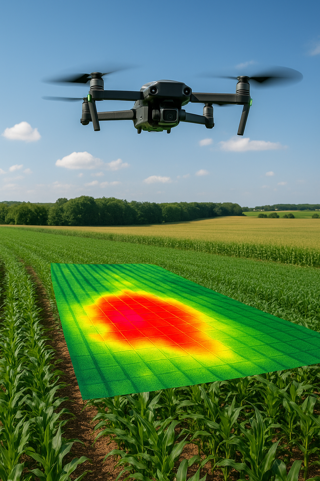
Multispectral and Thermal Drone Surveys for Agriculture and Livestock monitoring and analysis of agricultural land and livestock farms using multispectral, thermal, and RGB drones information on soil moisture, crop health, and growth dynamics across different zones Monitoring soil moisture and its distribution during irrigation or drought Analyzing growth dynamics in different zones of a field Detecting crop diseases, pests, and stress factors
/ 01
What We Offer
Agricultural Field Surveys
- Monitoring soil moisture and its distribution during irrigation or drought
- Analyzing growth dynamics in different zones of a field
- Detecting crop diseases, pests, and stress factors
- Predicting favorable and unfavorable events (drought, disease outbreaks, nutrient deficiencies).
Precision Agriculture
- Optimizing irrigation through NDVI, NDRE, and other vegetation indices
- Reducing costs for fertilizers and pesticides by applying them only where needed
- Generating accurate field maps for integration into smart farming systems.
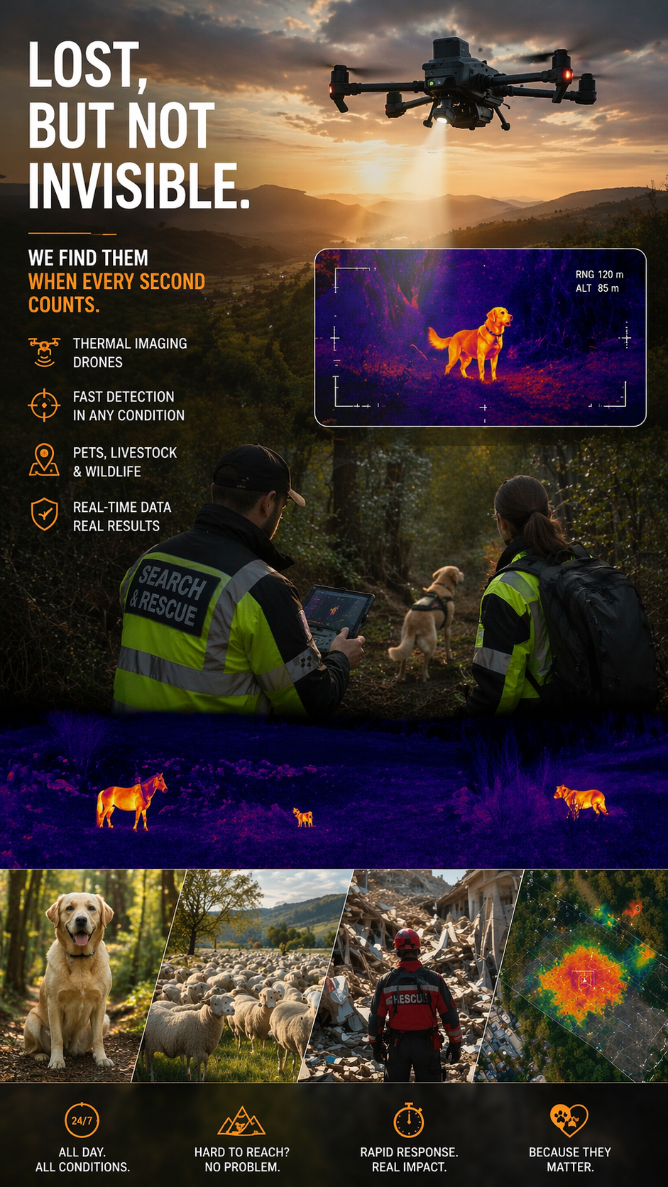
Livestock Applications
- Counting animals in large herds from the air
- Detecting elevated body temperatures via thermal monitoring – early warning of diseases
- Monitoring herd behavior and location in real time
- Security and protection – detecting predators or incursions into hazardous areas.
/ 02
Crisis and Emergency Support
- Locating animals during fires, floods, or natural disasters
- Detecting lost or separated animals in hard-to-reach terrain.
Technological Solutions
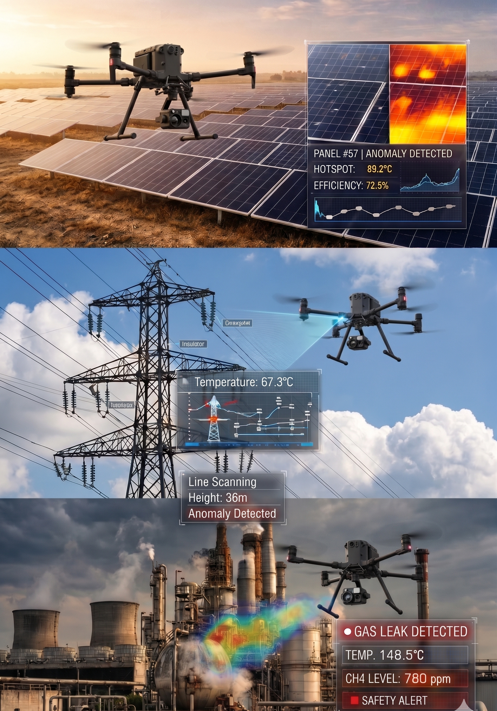
Multispectral Drones
- Sensors for vegetation index analysis (NDVI, GNDVI, NDRE)
- Early detection of crop stress, disease, and nutrient deficiencies
- Mapping fields with centimeter-level precision.
/ 03
Thermal Drones
- Soil moisture and heat zone analysis
- Detection of leaks in irrigation systems
- Monitoring plant and animal body temperatures.
High-Resolution RGB Cameras
- Visual inspection of crops and farmland
- Detailed documentation of field and farm conditions
- 2D/3D modeling and volume calculations.
Software and Integration
- Data processing and visualization in GIS and CAD systems
- Automated reports and predictive analytics
- Integration with farm management platforms.
/ 04
Key Features
- Precise vegetation monitoring – data on crop health and productivity
- Moisture analysis – optimized irrigation and drought prevention
- Animal monitoring – counting, temperature tracking, behavior, and security
- RTK/GNSS positioning – high-accuracy mapping
- AI analytics – automatic detection of diseases, defects, and anomalies
- Real-time data – delivered directly to farmers and ranchers for immediate action.
Sectors and Applications
- Agriculture – monitoring fields, orchards, vineyards
- Precision Irrigation – control and optimization of water use
- Livestock Farming – herd monitoring, disease prevention, security
- Ecology – assessing farming practices and their environmental impact
- Institutions and Cooperatives – integrated solutions for agricultural programs and funded projects.
Why Choose Multispectral and Thermal Drone Surveys?
Multispectral and thermal drone surveys are a key tool for modern agriculture and livestock management. They provide accurate, real-time data that help farmers and ranchers optimize processes, reduce costs, and increase productivity, while ensuring sustainable resource management and enhanced security.
- Better understanding of crop and livestock health
- Reduced costs for water, fertilizers, and pesticides
- Significant time savings when surveying large areas
- Safety and minimized risk for humans in difficult terrain
- Increased yields through timely and precise decision-making.
[ Get in Touch ]
X-Sky Dynamics
- ✉xskydynamics@gmail.com
- ✉xsky@xskydynamics.com
- ☎+359 87 6975862
 WhatsApp: +359 87 6975862
 Viber: +359 87 6975862
- 📍Sofia, bul. "Yanko Sakazov"

[ SERVICES ]
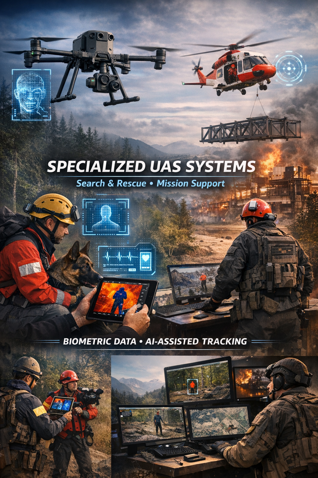
Specialized biometric UAS drone Systems for SAR
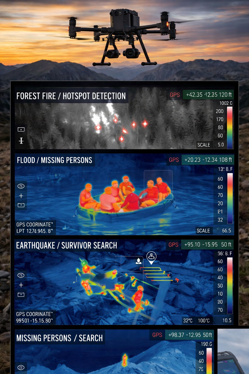
Search and Rescue via Drones
UAS Design, Engineering & Capabilities
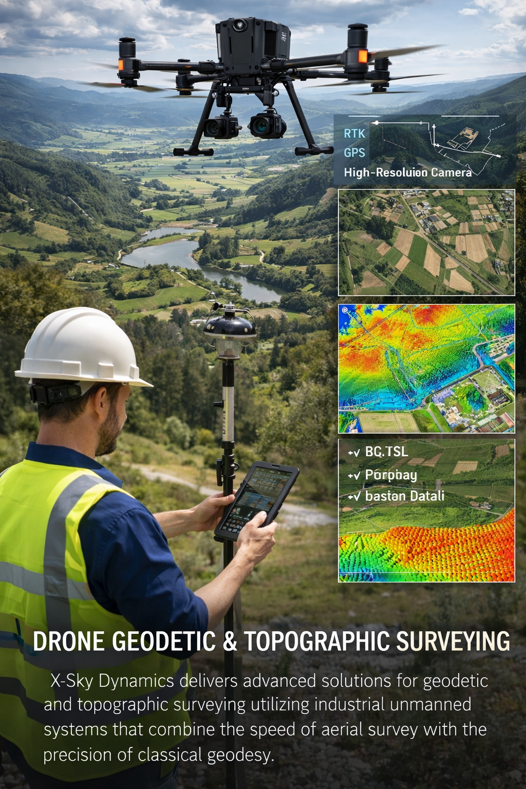
Geodetic and Topographic Surveying with UAV Systems
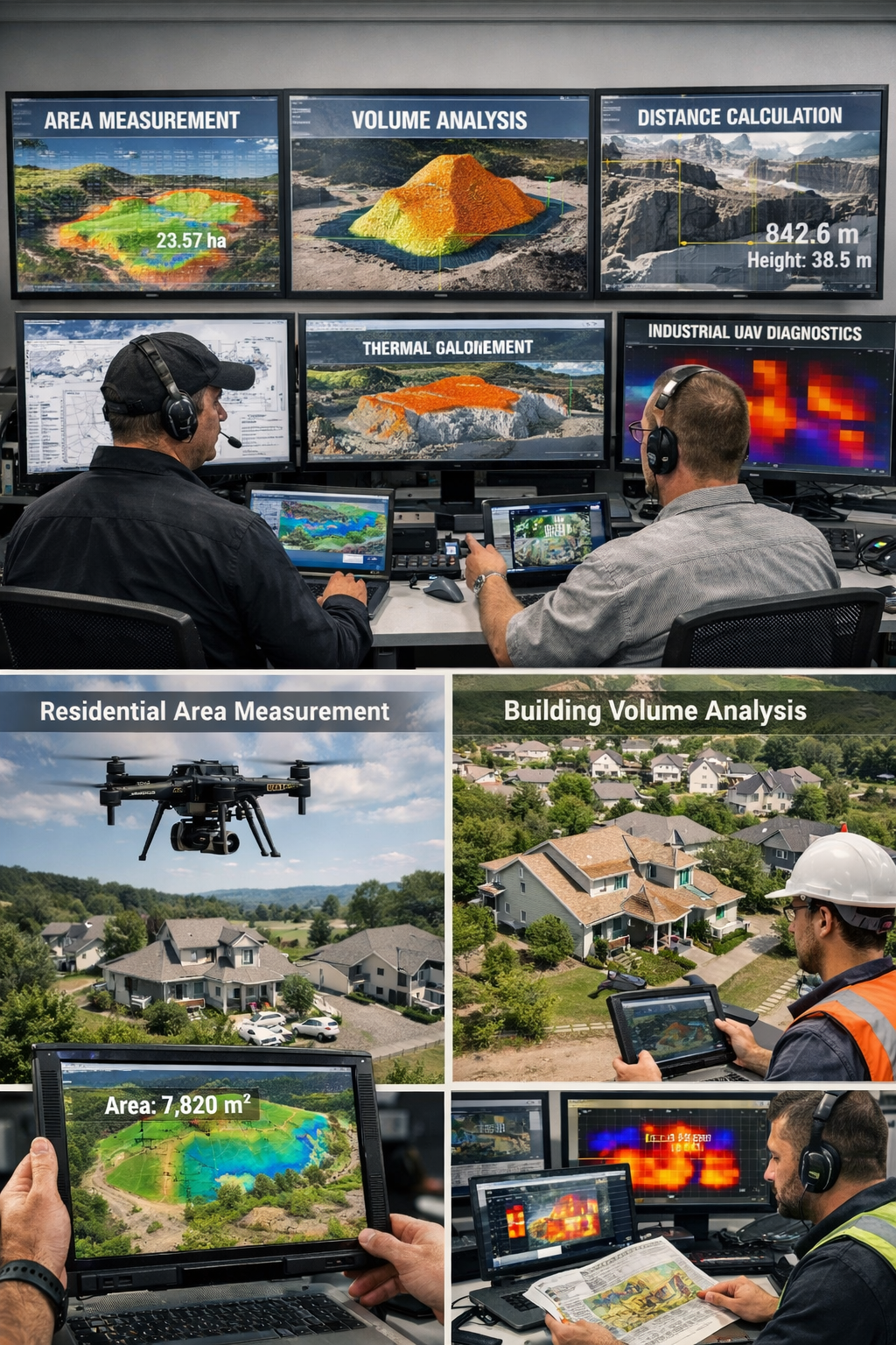
Measurement of Areas, Volumes, Distances with Drones
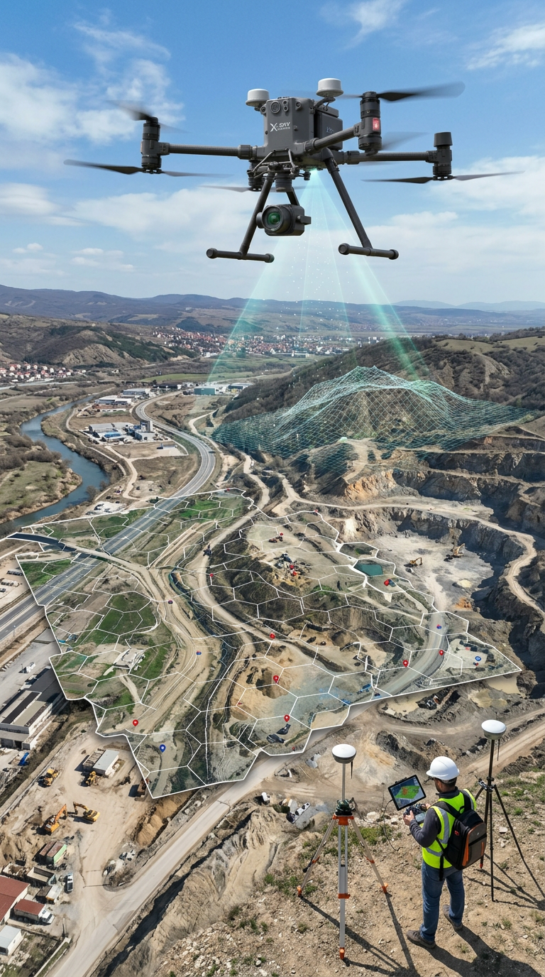
Mapping, Orthophoto, Geodetic UAV Systems
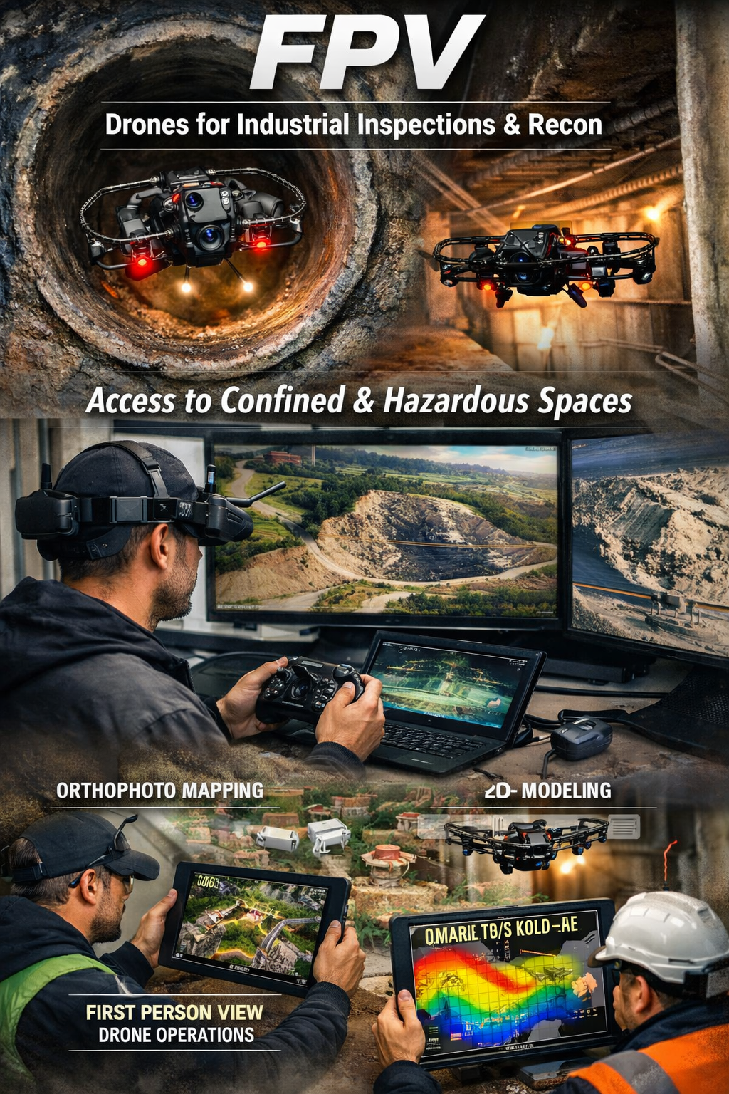
FPV Drone Inspections, Surveys
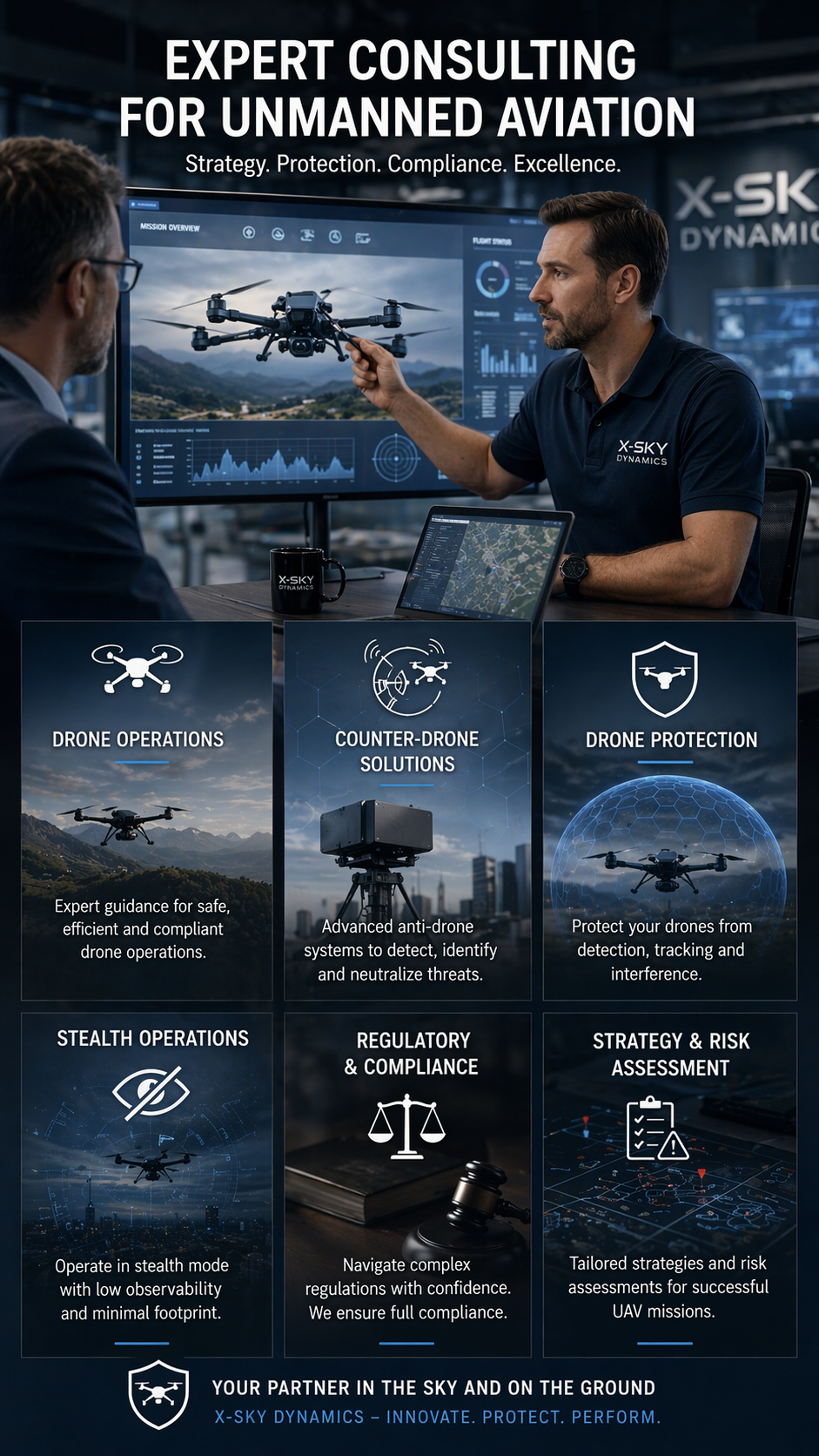
CONSULTING IN UNMANNED AVIATION (DRONES), ANTI-DRONE SYSTEMS
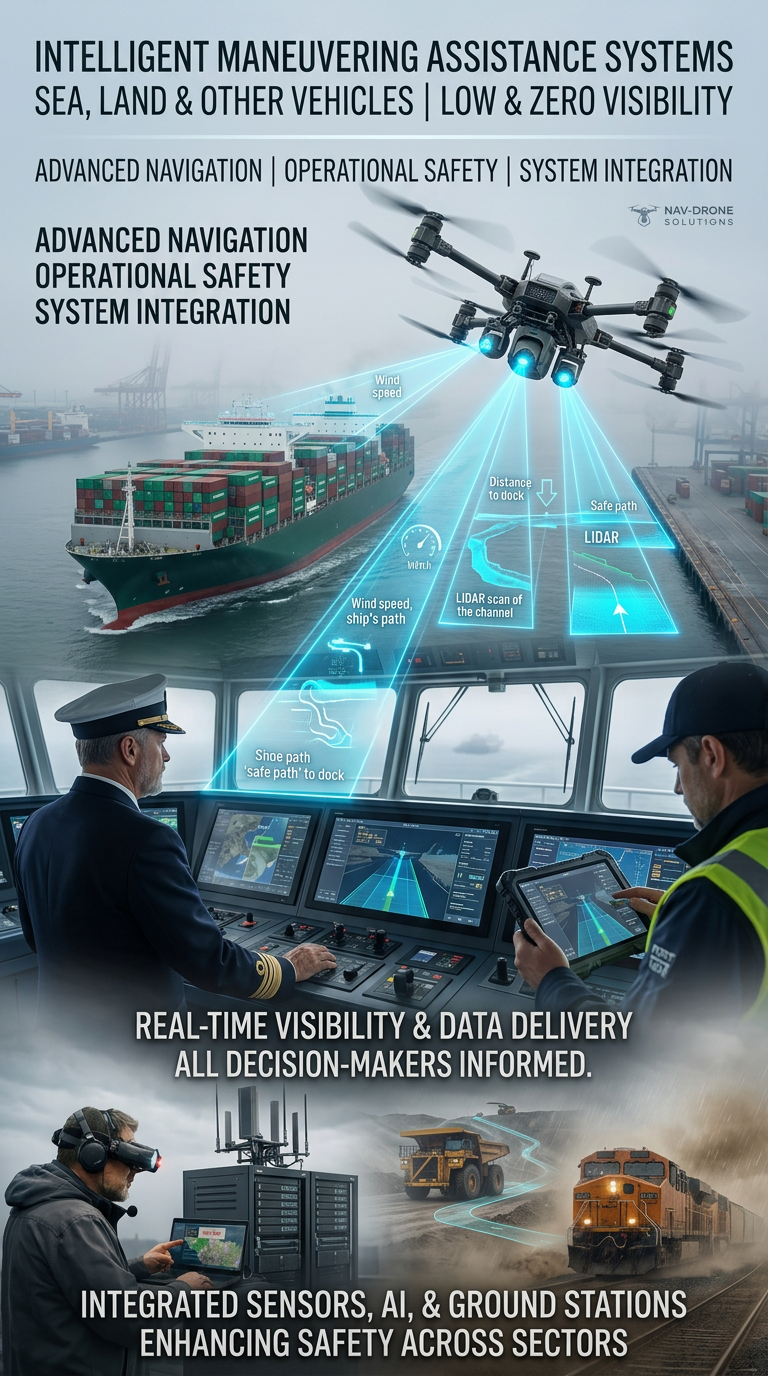
Systems for Assisting the Maneuvering in Low or Zero Visibility
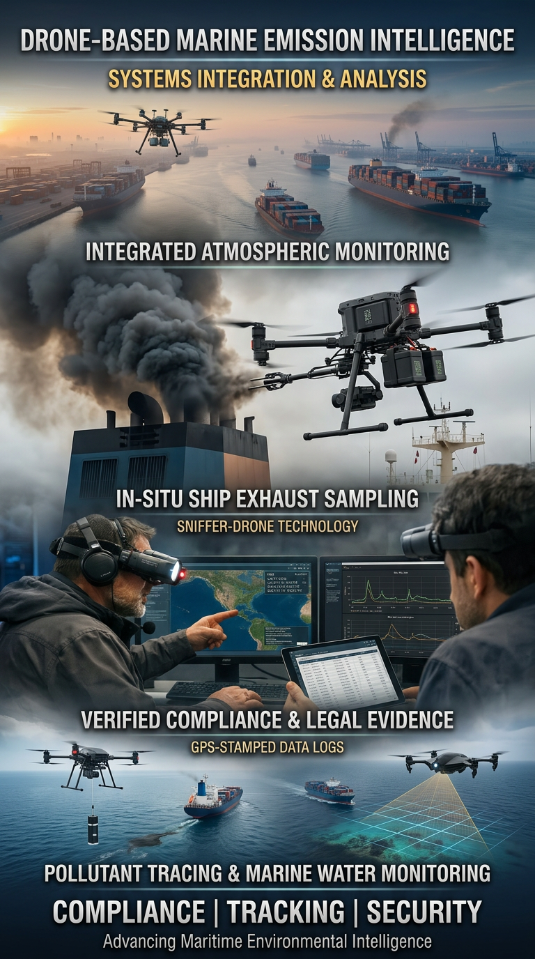
Drone Systems for Exhaust Gas Analysis
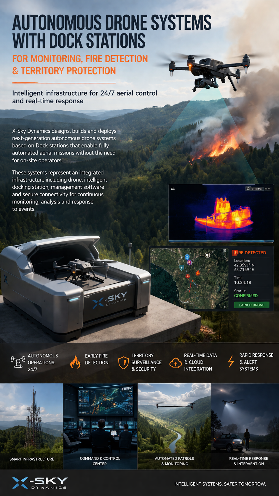
Dock Stations for Monitoring, Early Fire Detection
Agricultural Drone Systems for Precision Spraying, Spectral Monitoring

UAV – Drone Integration with Military
Cargo Transportation with Drones
Search and Rescue of Pets and animals Using Drones
Drone Systems for Collecting Statistical Data
Multispectral and Thermal Drone Surveys for Agriculture
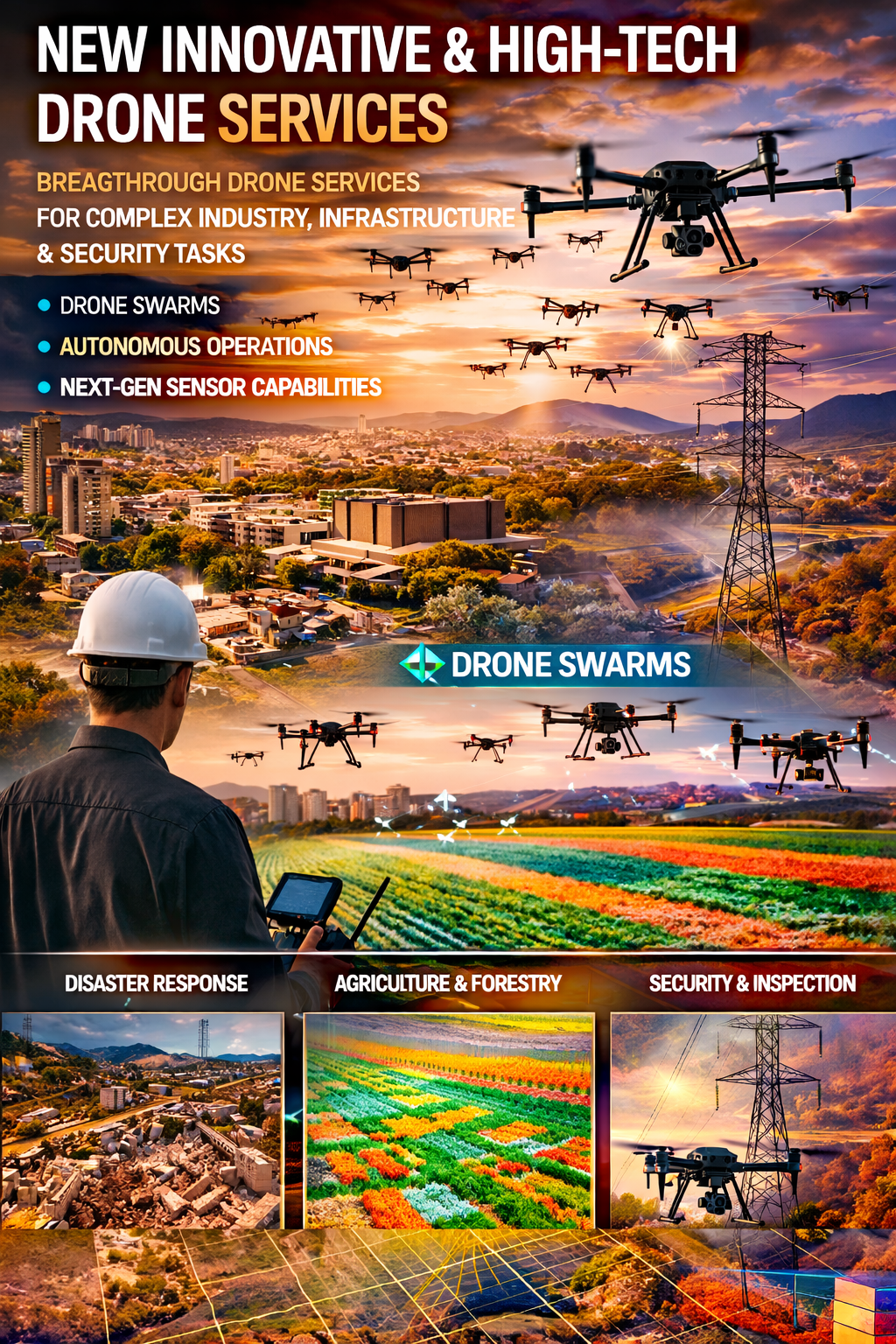
Innovative and High-Tech Drone Services
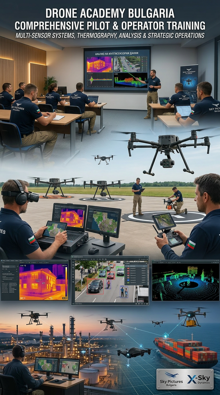
DRONE PILOTS AND OPERATORS TRAINING AND COURSES
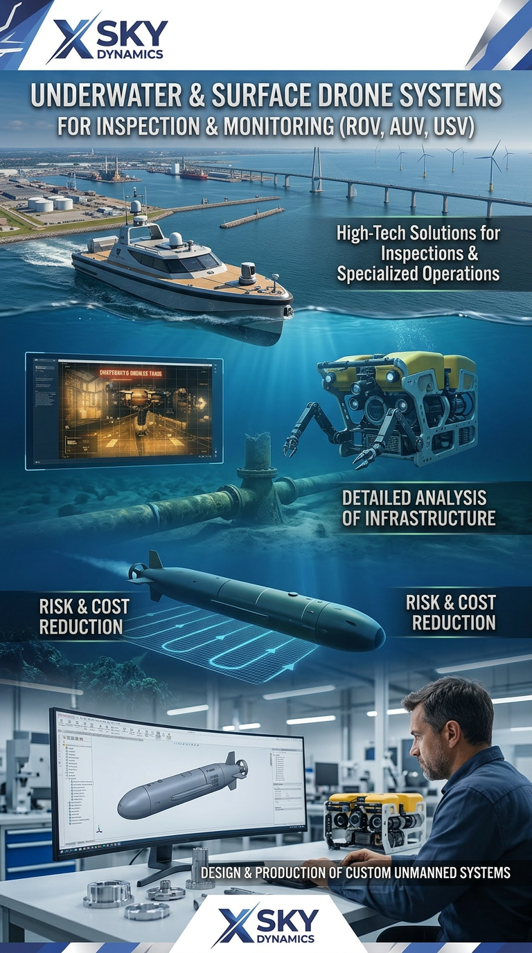
Underwater and Surface Drone Systems ROV, AUV, USV
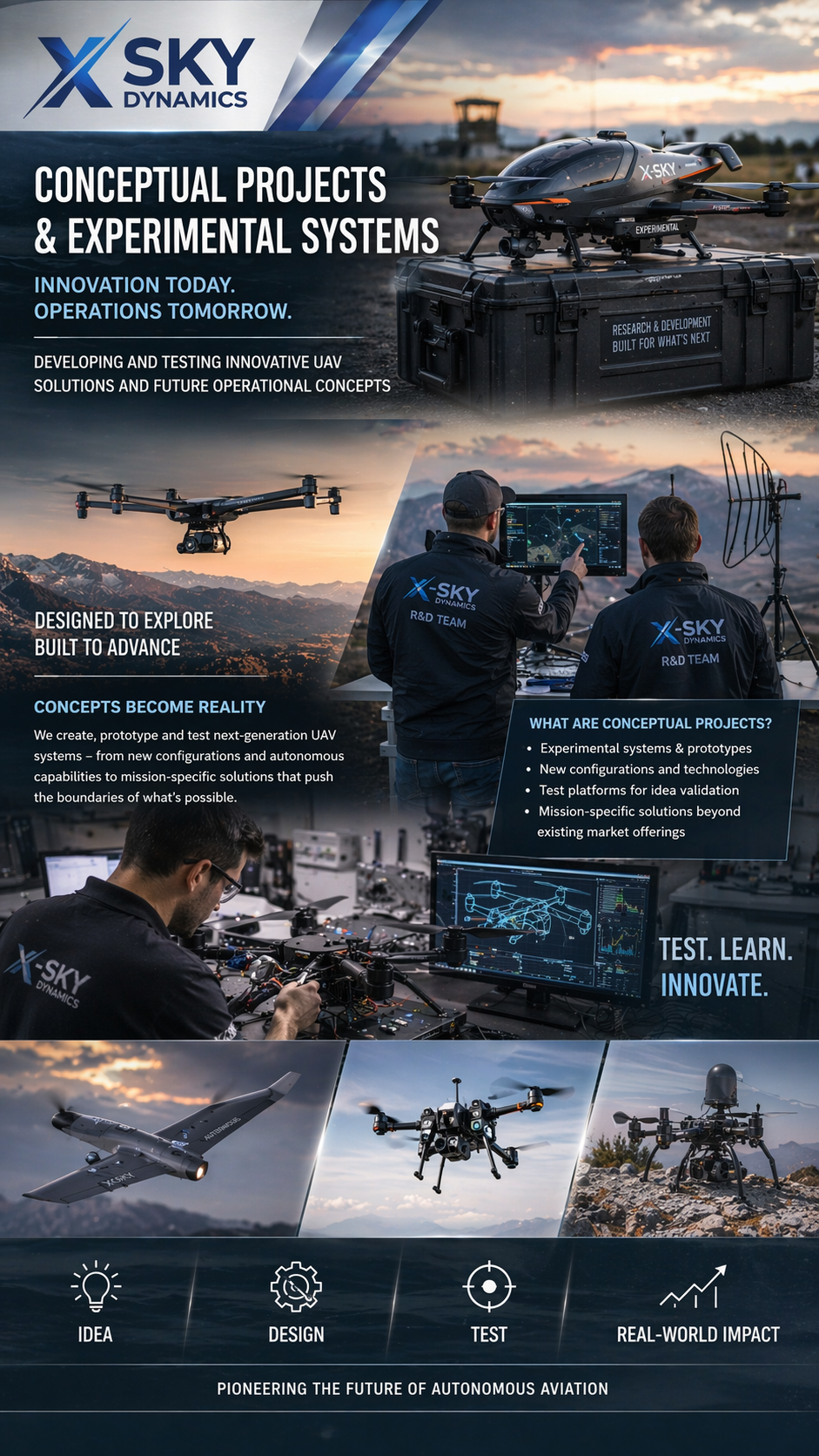
Concept Projects & Experimental UAV
Autonomous Drone Systems with Dock Stations
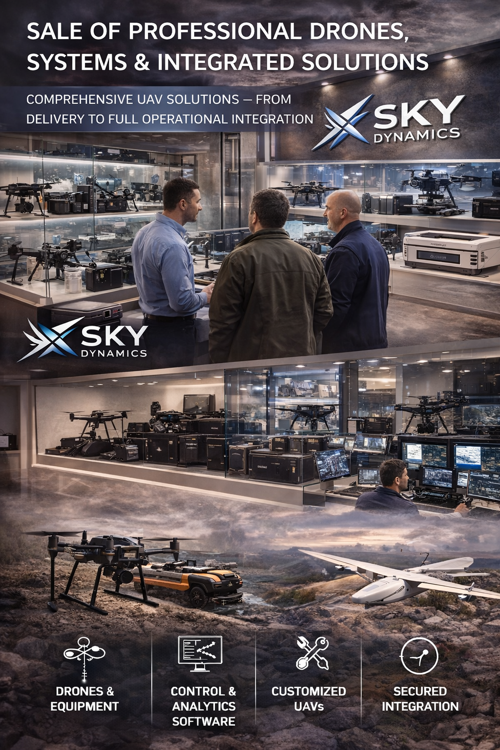
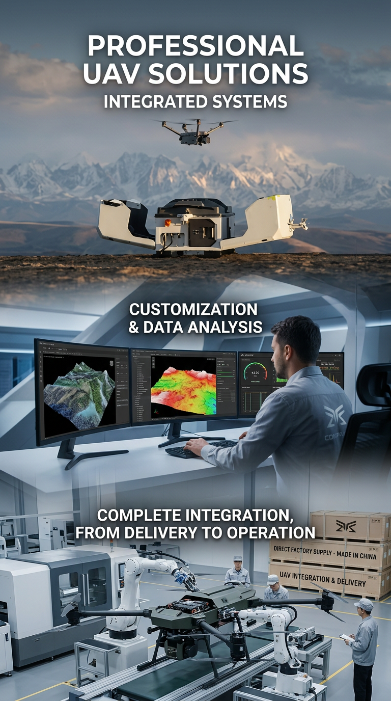
Sales of Professional Drones

Satellite Imaging, Satellite Design and Integrated

Security of Sites Through Drones AI Systems
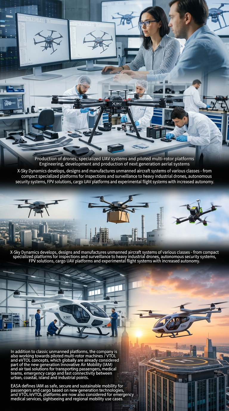
Drone Manufacturing and Manned Multirotor Platforms
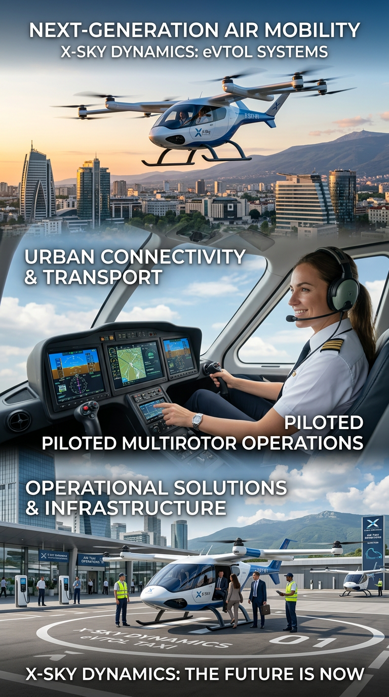
Air Taxis and eVTOL Systems
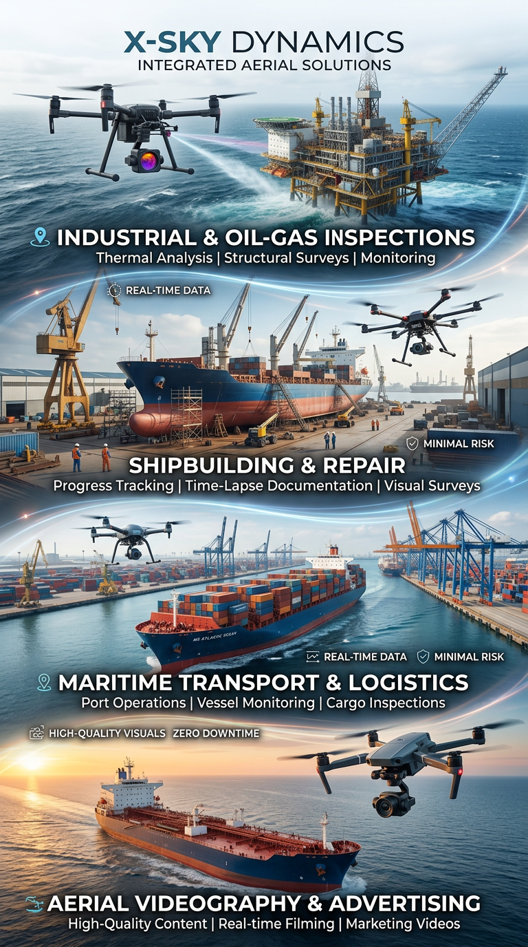
Drone and Video Services in Maritime Transport
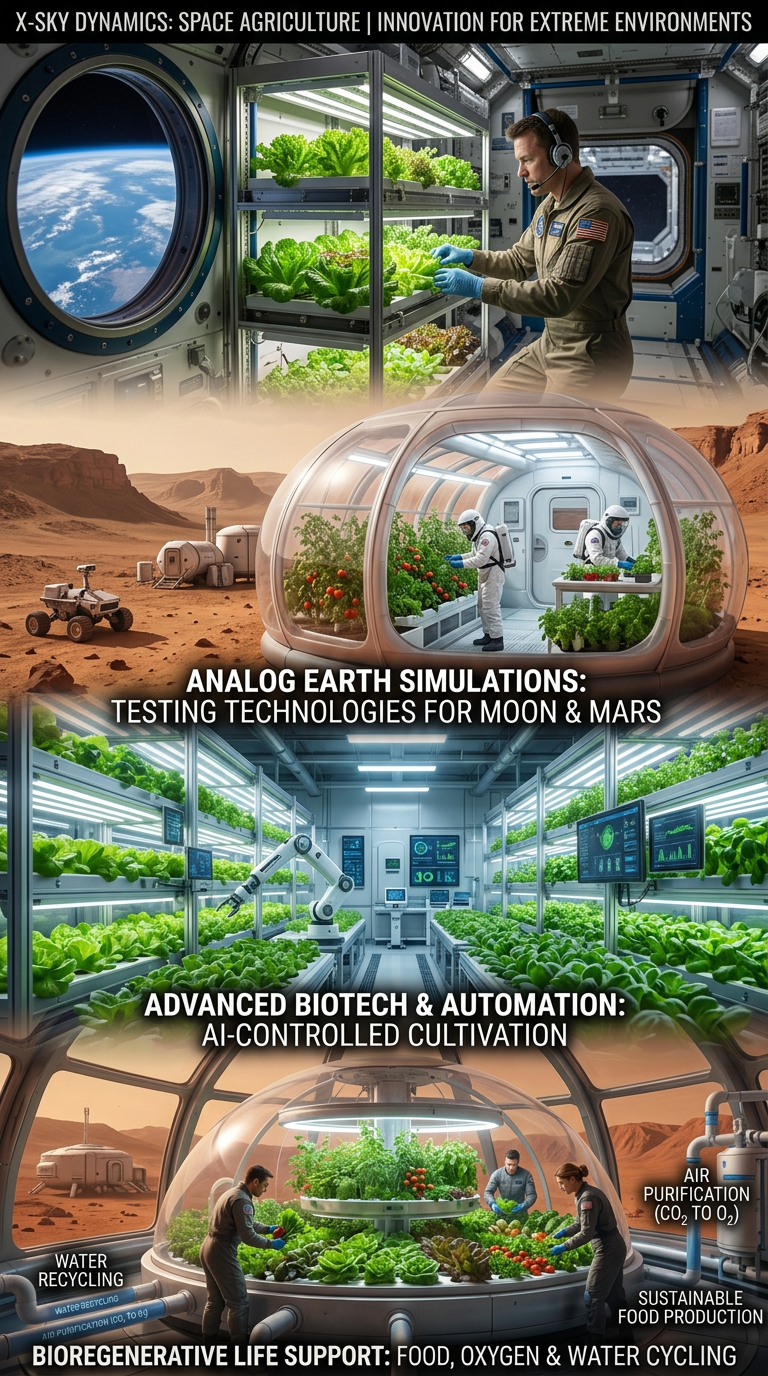
Space Agriculture, Agri-Systems for Extreme Environments

Cybersecurity, Cyber Defence and Protection of Critical Infrastructure

Cybersecurity and Protection of UAV and Autonomous Systems
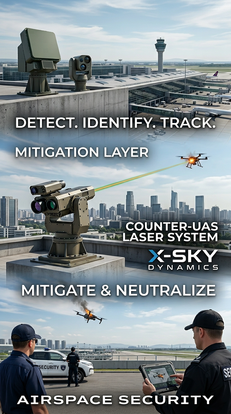
Counter-UAS, Laser and Kinetic Systems
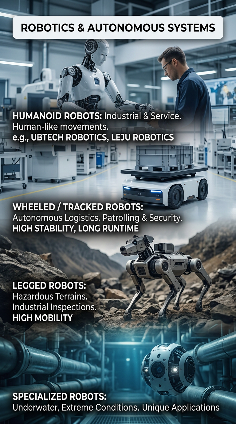
Robots and Autonomous Systems
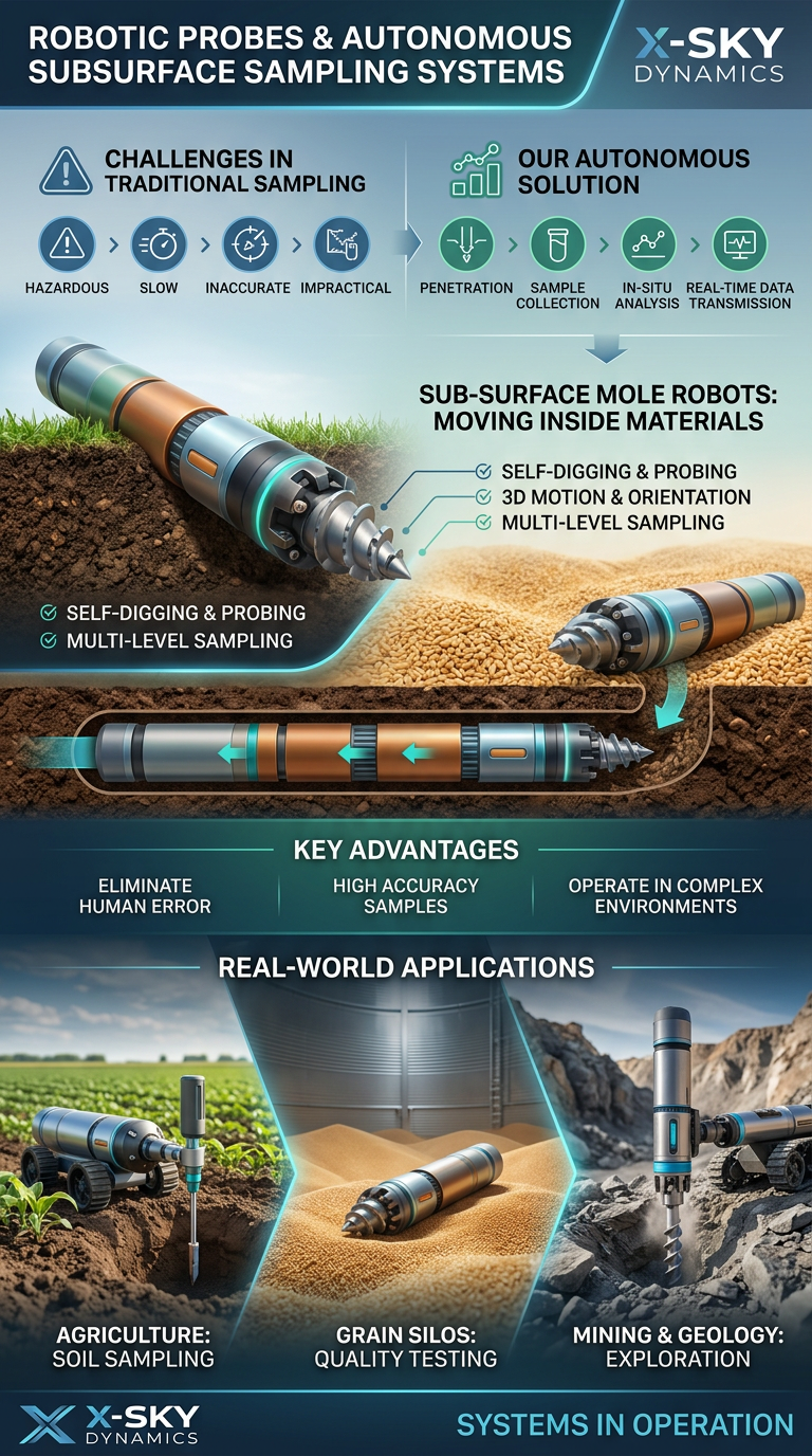
Robotic Probing Systems and Subsurface Technologies
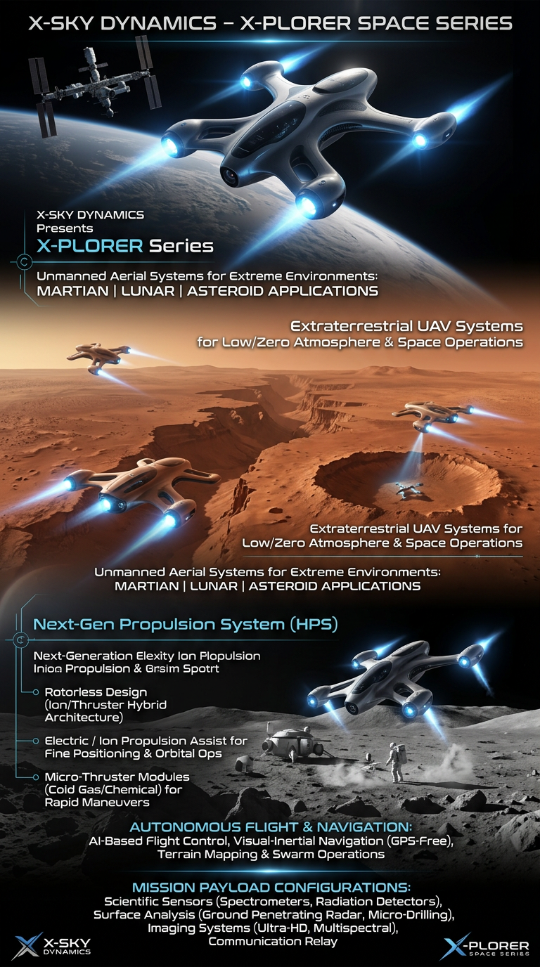
Space Drone systems SPACE X-PLORER SERIES

RAIGNV Partnership
Investors & Partners