


 WeCom / WeChat Business
[ SERVICES / DRONE PILOTS AND OPERATORS TRAINING AND COURSES ]
/ SERVICE #20
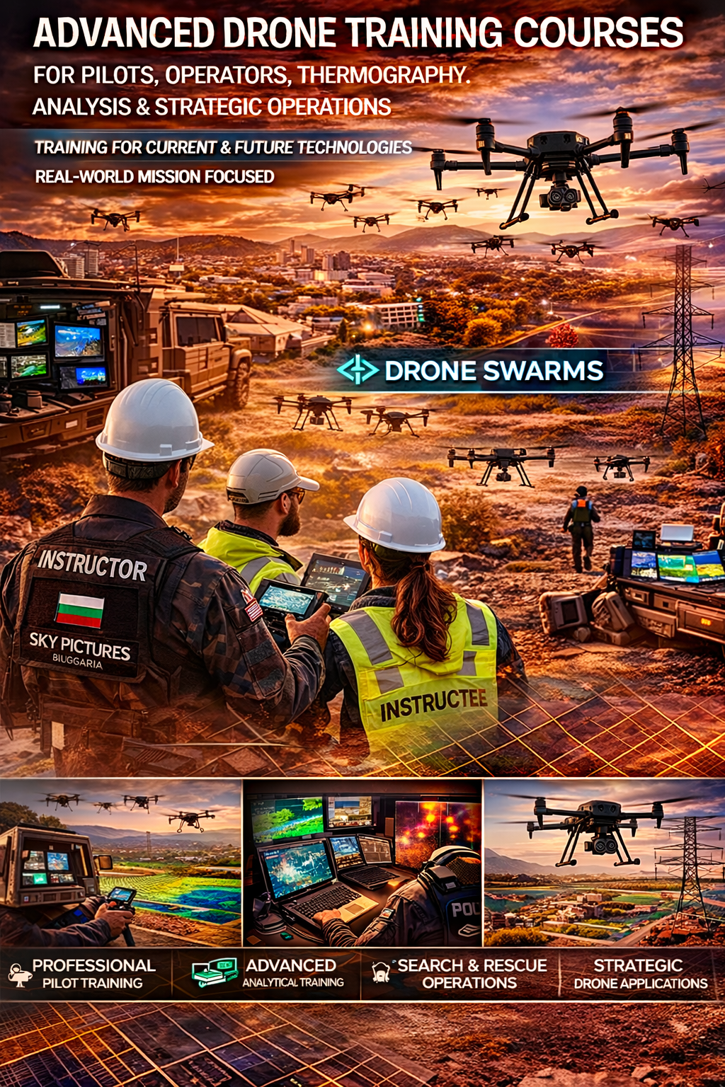
Drone Pilots and Operators Training and Courses, Thermography, Analysis, and Strategic Operations
DRONE PILOTS AND OPERATORS TRAINING AND COURSES, THERMOGRAPHY, ANALYSIS, AND STRATEGIC OPERATIONS Technologically advanced training for real-world missions, oriented toward present and future technologies Professional pilots and operators Organizations operating their own UAS systems or planning to acquire them Government and municipal institutions, military, forestry, fire, and maritime services, as well as construction and industrial companies Private individuals interested in highly qualified piloting, FPV, thermal, and 3D surveying
/ 01
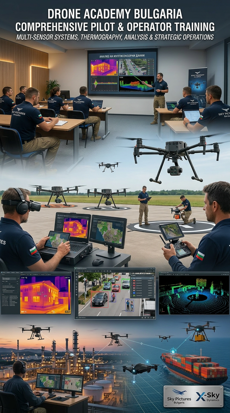
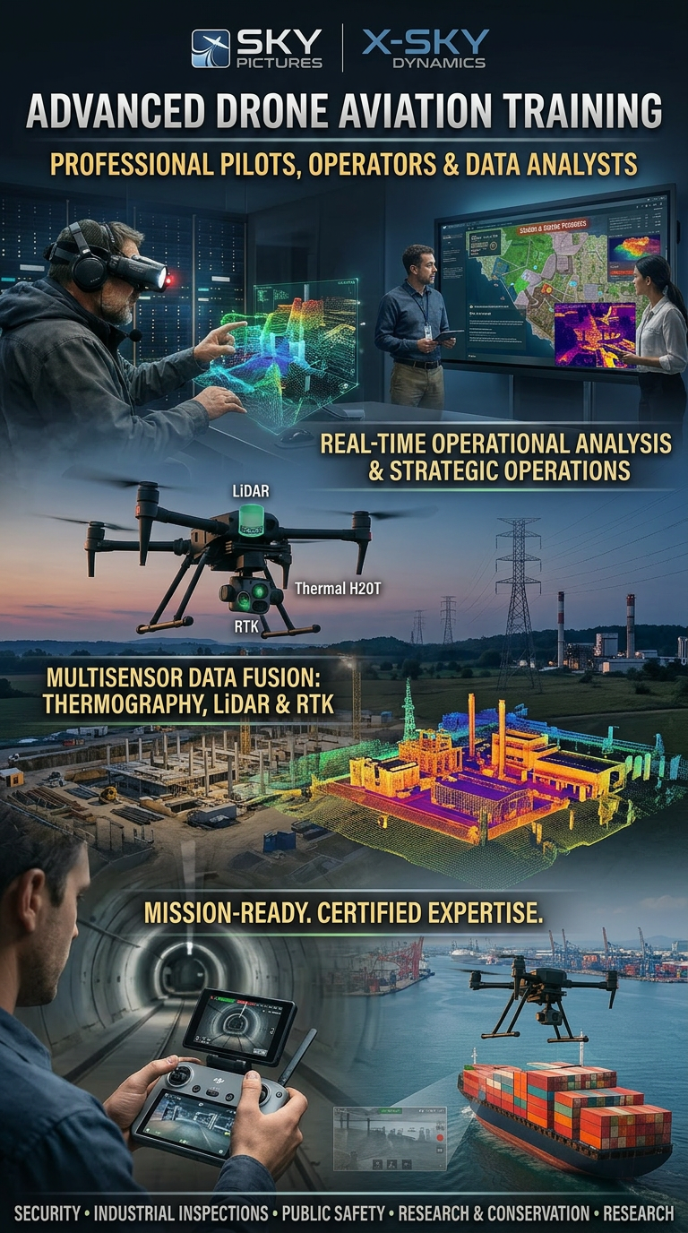
Drones and the integrated multisensor systems they carry (thermal cameras, optical sensors, LiDAR, RTK, AI modules) are now at the core of innovation in industrial inspections, search and rescue, strategic surveillance, construction, energy, security, environmental protection, cinema, media, and many other fields. Sky Pictures Bulgaria and X-Sky Dynamics combine experience, technology, and expertise in creating one of the most advanced training programs for remote pilots, operators, and data analysts working with unmanned aerial systems.
Our training programs are tailored to the real needs of the industry and are aimed at:
In the modern environment, drones are no longer just aircraft, but platforms for collecting, analyzing, and interpreting information in real time. If you or your institution need internationally certified experts in this unique field, we are here to provide one of the best training programs available – for both enthusiasts and professionals, with the possibility of subsequent certification by pilots and experts who have participated in hundreds of projects worldwide, including in heavy industry, offshore operations, rescue missions, and strategic environments.
- Professional pilots and operators
- Organizations operating their own UAS systems or planning to acquire them
- Government and municipal institutions, military, forestry, fire, and maritime services, as well as construction and industrial companies
- Private individuals interested in highly qualified piloting, FPV, thermal, and 3D surveying
1. Who We Are and Why Our Team
Our instructors are experienced professionals in the fields of manned aviation, drones, thermal imaging systems, geodesy, and data analysis. The X-Sky Dynamics team is, in practice, the only and best-prepared specialized team in the country and one of the few in the world that:
- regularly and actively works in emergency response, disaster, and critical infrastructure environments – both in Bulgaria and abroad
- has proven experience in joint operations with manned aviation (military and civil) under the coordination of the Civil Aviation Administration Directorate General
- actively participates in national exercises such as SAREX, together with Krumovo Air Base, HEMS, Varna Aviation Unit, Chaika Air Base, and others
- works with leading industrial, energy, and strategic companies where maximum precision, safety, and confidentiality are required.
Our team is focused on:
- search and rescue of people (land/water)
- thermographic inspections
- reconnaissance during disasters
- operations in hazardous and restricted zones
- joint work with manned aviation
- integration of FPV systems
What We Offer
Expert Training
The training covers both the practical and legislative aspects, including:
- obtaining permits
- reserving airspace
- interaction with institutions and regulatory authorities
- operation in controlled and restricted zones
Practice-oriented modules covering conventional, industrial, FPV, and thermal drones
Work with integrated systems (all-in-one payloads) – thermal, zoom, laser, LiDAR, and AI modules on a single platform
Study of aviation safety, navigation, mission planning, maintenance, and emergency procedures
Integration of AI-based software for object recognition, defect detection, temperature anomalies, and behavioral patterns
Advanced preparation for BVLOS (Beyond Visual Line of Sight) operations – the new frontier in the drone industry
Strategic and Operational Training
We expand traditional courses with modules for:
- strategic reconnaissance and environmental analysis
- work in complex and high-risk conditions (fires, disasters, industrial accidents)
- search and localization of people using thermal and AI systems
- analysis of behavior and movement in real time
- coordination with ground, maritime, and air teams
The training includes real scenarios based on:
- rescue operations
- industrial missions
- offshore environments
- interaction with institutions and military structures
Working with Thermal Cameras and Analysis
The specialized modules include:
- working with different types of thermal sensors
- configuration and calibration
- interpretation of thermal signatures
- analysis of:
- overheating
- leaks
- structural defects
- spills
- human presence
Work with specialized software (FLIR, Pix4D, DroneDeploy, etc.)
Generation of thermal maps and analysis
Comparison of data from different missions
2. Training Objectives
The training is aimed at building real operational capabilities:
2.1. Upgrading knowledge for work in real emergency and rescue environments
2.2. Presentation of new technologies – FPV, thermal, zoom, AI systems
2.3. Working with U-space and the current regulatory framework in the EU
2.4. Development of operational thinking through real scenarios
2.5. Improving coordination between all participants in operations
3. Format and Duration
The training programs last:
4 to 140 training hours (flexible)
1 to 30 days (flexible)
Available options include:
- extended modules
- night missions
- operation in harsh conditions
4. What We Offer
Expert and Practical Training
- Work with industrial, FPV, and multisensor drones
- Mission planning and execution
- Work with integrated payload systems (thermal + zoom + AI + LiDAR)
- Aviation safety and risk management
- BVLOS operations
Strategic and Operational Training
- Reconnaissance and environmental analysis
- Work in disasters and emergencies
- Search for people using AI and thermal systems
- Coordination with institutions and command headquarters
Working with Thermal Cameras and Analysis
- Interpretation of thermal signatures
- Analysis of fires, leaks, and defects
- Work with specialized software
- Generation of temperature maps
Customized Courses
- For rescue services
- For industrial companies
- For government and military structures
- For specific missions
5. Sample Training Program (Advanced Course)
MODULE I – Fundamentals and Regulations
- Work with industrial platforms
- Choosing the right drone according to the mission
- EASA regulations and U-space
- Work in critical zones
- Risk management
- Mission planning
MODULE II – Emergency and Rescue Environment
- Search for people (land/water)
- Work with thermal systems
- Fires and hazardous objects
- Critical infrastructure
- Spills and accidents
MODULE III – FPV Systems
- Operation in confined spaces
- Practical FPV training
- Integration with industrial drones
MODULE IV – Communication and Coordination
- Working with institutions
- Radio communication
- Joint operations
- Coordination with manned aviation
MODULE V – Data, Ethics, and Scenarios
- Data protection
- Processing and analysis
- Practical missions
- Debriefing
6. Areas of Application
- Industrial inspections
- Search and rescue
- Geodesy and 3D modeling
- Maritime and offshore operations
- Security and surveillance
- Cinema and FPV
7. Additional Information and Experience
The X-Sky Dynamics team has many years of experience in:
- heavy industry
- energy
- oil and gas
- ports
- logistics
- cinema and media
Customized Courses
We apply an individual approach based on the client’s real needs:
- rescue services
- industrial inspections
- military and government structures
- infrastructure projects
- cinema and media
Full mission simulation
Real scenarios
Training in specific environments
Certification
After successful completion:
- you receive an official certificate
- documentation of competencies
- assistance for national and European licenses
Areas of Application
- Industrial and thermographic inspections
- Search and rescue
- Geodesy and 3D modeling
- Maritime operations and offshore missions
- Security and surveillance
- Cinema, media, and FPV
Why Choose Us
Latest-generation drones with RTK, LiDAR, AI, and autonomous systems
Instructors with real experience in industrial, military, and offshore environments
Training in real conditions – not just theory
Full technical and operational preparation
Compliance with EASA and national regulations
Access to a real network of professionals
Sample Thematic Modules
1. Introduction to piloting and safety
2. Industrial and FPV piloting
3. Mission planning and execution
4. Working with thermal systems
5. Search and rescue
6. Data analysis and AI processing
7. 3D modeling and photogrammetry
8. BVLOS operations
9. Working with specialized software
10. Legal framework and institutions
11. Final test and certification
Conclusion
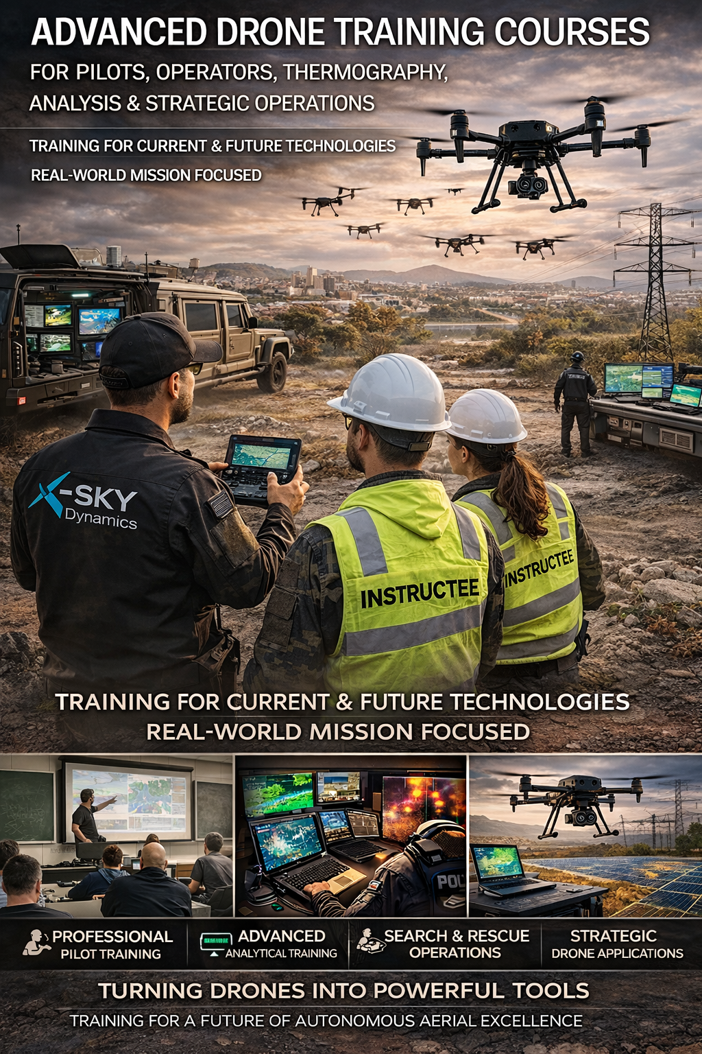
Our training is not just a course – it is a complete preparation for working in real environments, including technology, analysis, coordination, and decision-making. Our goal is to create not just pilots, but operators and analysts of the future, capable of working with the most advanced UAV systems in industrial, governmental, and strategic environments.
/ 02
/ 03
/ 04
Drones and the integrated multisensor systems they carry (thermal cameras, optical sensors, LiDAR, RTK, AI modules) are now at the core of innovation in industrial inspections, search and rescue, strategic surveillance, construction, energy, security, environmental protection, cinema, media, and many other fields. Sky Pictures Bulgaria and X-Sky Dynamics combine experience, technology, and expertise in creating one of the most advanced training programs for remote pilots, operators, and data analysts working with unmanned aerial systems.
Our training programs are tailored to the real needs of the industry and are aimed at:
In the modern environment, drones are no longer just aircraft, but platforms for collecting, analyzing, and interpreting information in real time. If you or your institution need internationally certified experts in this unique field, we are here to provide one of the best training programs available – for both enthusiasts and professionals, with the possibility of subsequent certification by pilots and experts who have participated in hundreds of projects worldwide, including in heavy industry, offshore operations, rescue missions, and strategic environments.
- Professional pilots and operators
- Organizations operating their own UAS systems or planning to acquire them
- Government and municipal institutions, military, forestry, fire, and maritime services, as well as construction and industrial companies
- Private individuals interested in highly qualified piloting, FPV, thermal, and 3D surveying
Our team is focused on:
- search and rescue of people (land/water)
- thermographic inspections
- reconnaissance during disasters
- operations in hazardous and restricted zones
- joint work with manned aviation
- integration of FPV systems
Practice-oriented modules covering conventional, industrial, FPV, and thermal drones
Work with integrated systems (all-in-one payloads) – thermal, zoom, laser, LiDAR, and AI modules on a single platform
Strategic and Operational Training
We expand traditional courses with modules for:
- strategic reconnaissance and environmental analysis
- work in complex and high-risk conditions (fires, disasters, industrial accidents)
- search and localization of people using thermal and AI systems
- analysis of behavior and movement in real time
- coordination with ground, maritime, and air teams
- working with different types of thermal sensors
- configuration and calibration
- interpretation of thermal signatures
- analysis of:
- overheating
- leaks
- structural defects
- spills
- human presence
2.1. Upgrading knowledge for work in real emergency and rescue environments
2.2. Presentation of new technologies – FPV, thermal, zoom, AI systems
2.5. Improving coordination between all participants in operations
3. Format and Duration
The training programs last:
Available options include:
- extended modules
- night missions
- operation in harsh conditions
Strategic and Operational Training
- Reconnaissance and environmental analysis
- Work in disasters and emergencies
- Search for people using AI and thermal systems
- Coordination with institutions and command headquarters
Customized Courses
- For rescue services
- For industrial companies
- For government and military structures
- For specific missions
- Work with industrial platforms
- Choosing the right drone according to the mission
- EASA regulations and U-space
- Work in critical zones
- Risk management
- Mission planning
MODULE III – FPV Systems
- Operation in confined spaces
- Practical FPV training
- Integration with industrial drones
/ 02
MODULE V – Data, Ethics, and Scenarios
- Data protection
- Processing and analysis
- Practical missions
- Debriefing
7. Additional Information and Experience
The X-Sky Dynamics team has many years of experience in:
- heavy industry
- energy
- oil and gas
- ports
- logistics
- cinema and media
- rescue services
- industrial inspections
- military and government structures
- infrastructure projects
- cinema and media
After successful completion:
- you receive an official certificate
- documentation of competencies
- assistance for national and European licenses
Why Choose Us
Latest-generation drones with RTK, LiDAR, AI, and autonomous systems
Instructors with real experience in industrial, military, and offshore environments
Training in real conditions – not just theory
Access to a real network of professionals
Sample Thematic Modules
3. Mission planning and execution
5. Search and rescue
7. 3D modeling and photogrammetry
9. Working with specialized software
11. Final test and certification
Conclusion
/ 01
1. Who We Are and Why Our Team
Our instructors are experienced professionals in the fields of manned aviation, drones, thermal imaging systems, geodesy, and data analysis. The X-Sky Dynamics team is, in practice, the only and best-prepared specialized team in the country and one of the few in the world that:
- regularly and actively works in emergency response, disaster, and critical infrastructure environments – both in Bulgaria and abroad
- has proven experience in joint operations with manned aviation (military and civil) under the coordination of the Civil Aviation Administration Directorate General
- actively participates in national exercises such as SAREX, together with Krumovo Air Base, HEMS, Varna Aviation Unit, Chaika Air Base, and others
- works with leading industrial, energy, and strategic companies where maximum precision, safety, and confidentiality are required.
What We Offer
Expert Training
The training covers both the practical and legislative aspects, including:
- obtaining permits
- reserving airspace
- interaction with institutions and regulatory authorities
- operation in controlled and restricted zones
Study of aviation safety, navigation, mission planning, maintenance, and emergency procedures
Integration of AI-based software for object recognition, defect detection, temperature anomalies, and behavioral patterns
Advanced preparation for BVLOS (Beyond Visual Line of Sight) operations – the new frontier in the drone industry
The training includes real scenarios based on:
- rescue operations
- industrial missions
- offshore environments
- interaction with institutions and military structures
Working with Thermal Cameras and Analysis
The specialized modules include:
Work with specialized software (FLIR, Pix4D, DroneDeploy, etc.)
Generation of thermal maps and analysis
Comparison of data from different missions
2. Training Objectives
The training is aimed at building real operational capabilities:
2.3. Working with U-space and the current regulatory framework in the EU
2.4. Development of operational thinking through real scenarios
/ 03
4 to 140 training hours (flexible)
1 to 30 days (flexible)
4. What We Offer
Expert and Practical Training
- Work with industrial, FPV, and multisensor drones
- Mission planning and execution
- Work with integrated payload systems (thermal + zoom + AI + LiDAR)
- Aviation safety and risk management
- BVLOS operations
Working with Thermal Cameras and Analysis
- Interpretation of thermal signatures
- Analysis of fires, leaks, and defects
- Work with specialized software
- Generation of temperature maps
5. Sample Training Program (Advanced Course)
MODULE I – Fundamentals and Regulations
MODULE II – Emergency and Rescue Environment
- Search for people (land/water)
- Work with thermal systems
- Fires and hazardous objects
- Critical infrastructure
- Spills and accidents
MODULE IV – Communication and Coordination
- Working with institutions
- Radio communication
- Joint operations
- Coordination with manned aviation
6. Areas of Application
- Industrial inspections
- Search and rescue
- Geodesy and 3D modeling
- Maritime and offshore operations
- Security and surveillance
- Cinema and FPV
Customized Courses
We apply an individual approach based on the client’s real needs:
Full mission simulation
Real scenarios
/ 04
Training in specific environments
Certification
Areas of Application
- Industrial and thermographic inspections
- Search and rescue
- Geodesy and 3D modeling
- Maritime operations and offshore missions
- Security and surveillance
- Cinema, media, and FPV
Full technical and operational preparation
Compliance with EASA and national regulations
1. Introduction to piloting and safety
2. Industrial and FPV piloting
4. Working with thermal systems
6. Data analysis and AI processing
8. BVLOS operations
10. Legal framework and institutions
Our training is not just a course – it is a complete preparation for working in real environments, including technology, analysis, coordination, and decision-making. Our goal is to create not just pilots, but operators and analysts of the future, capable of working with the most advanced UAV systems in industrial, governmental, and strategic environments.
[ RELATED VIDEOS ]
YouTube #1
YouTube #2
YouTube #3
YouTube #4
YouTube #5
YouTube #6
YouTube #7
YouTube #8
YouTube #9
YouTube #10
YouTube #11
YouTube #12
YouTube #13
YouTube #14
YouTube #15
YouTube #16
YouTube #17
YouTube #18
YouTube #19
YouTube #20
YouTube #21
YouTube #22
YouTube #23
YouTube #24
YouTube #25
YouTube #26
YouTube #27
YouTube #28
YouTube #29
YouTube #30
YouTube #31
YouTube #32
YouTube #33
YouTube #34
YouTube #35
YouTube #36
YouTube #37
YouTube #38
YouTube #39
YouTube #40
YouTube #41
YouTube #42
[ Get in Touch ]
X-Sky Dynamics
- ✉xskydynamics@gmail.com
- ✉xsky@xskydynamics.com
- ☎+359 87 6975862
 WhatsApp: +359 87 6975862
 Viber: +359 87 6975862
- 📍Sofia, bul. "Yanko Sakazov"

[ SERVICES ]
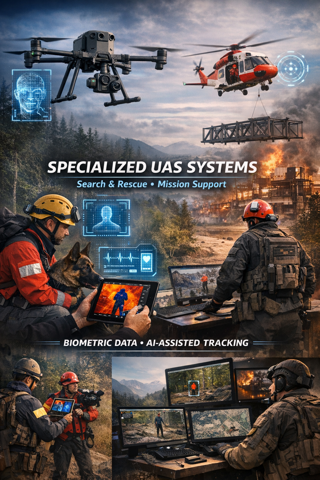
Specialized biometric UAS drone Systems for SAR
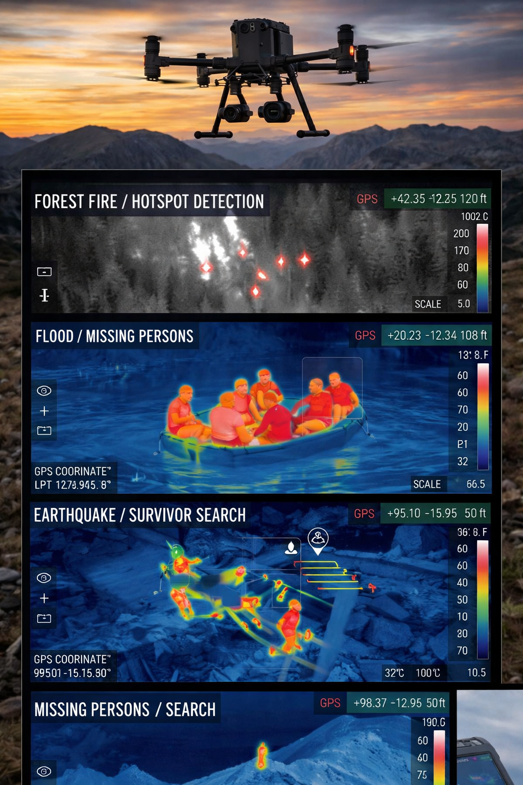
Search and Rescue via Drones
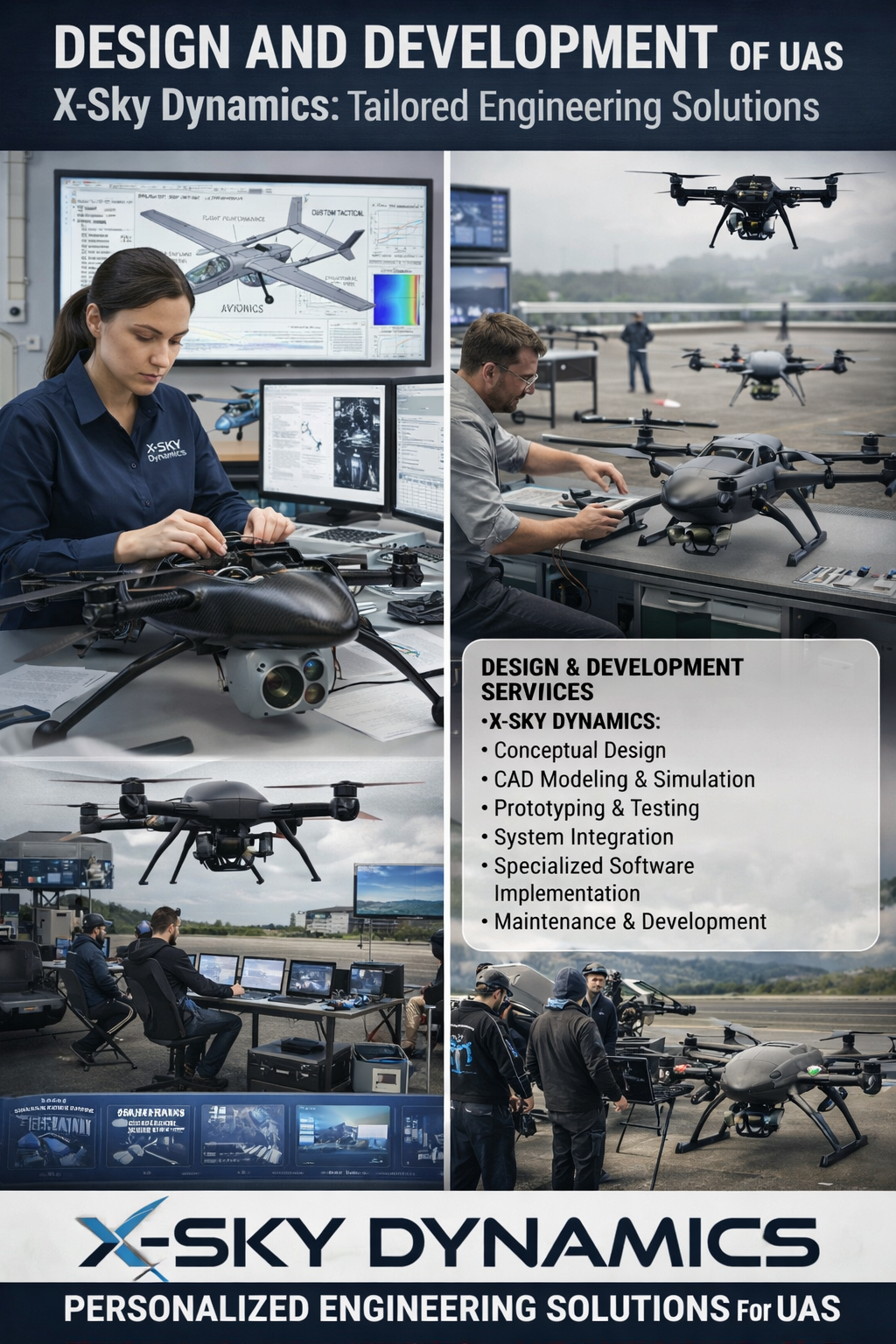
UAS Design, Engineering & Capabilities
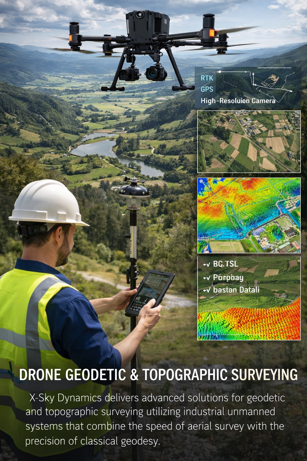
Geodetic, Topographic, Digital Twins 3D Surveying with UAV Systems
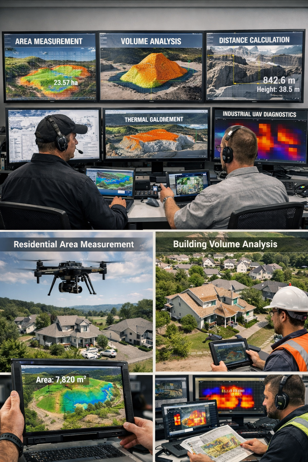
Measurement of Areas, Volumes, Distances with Drones
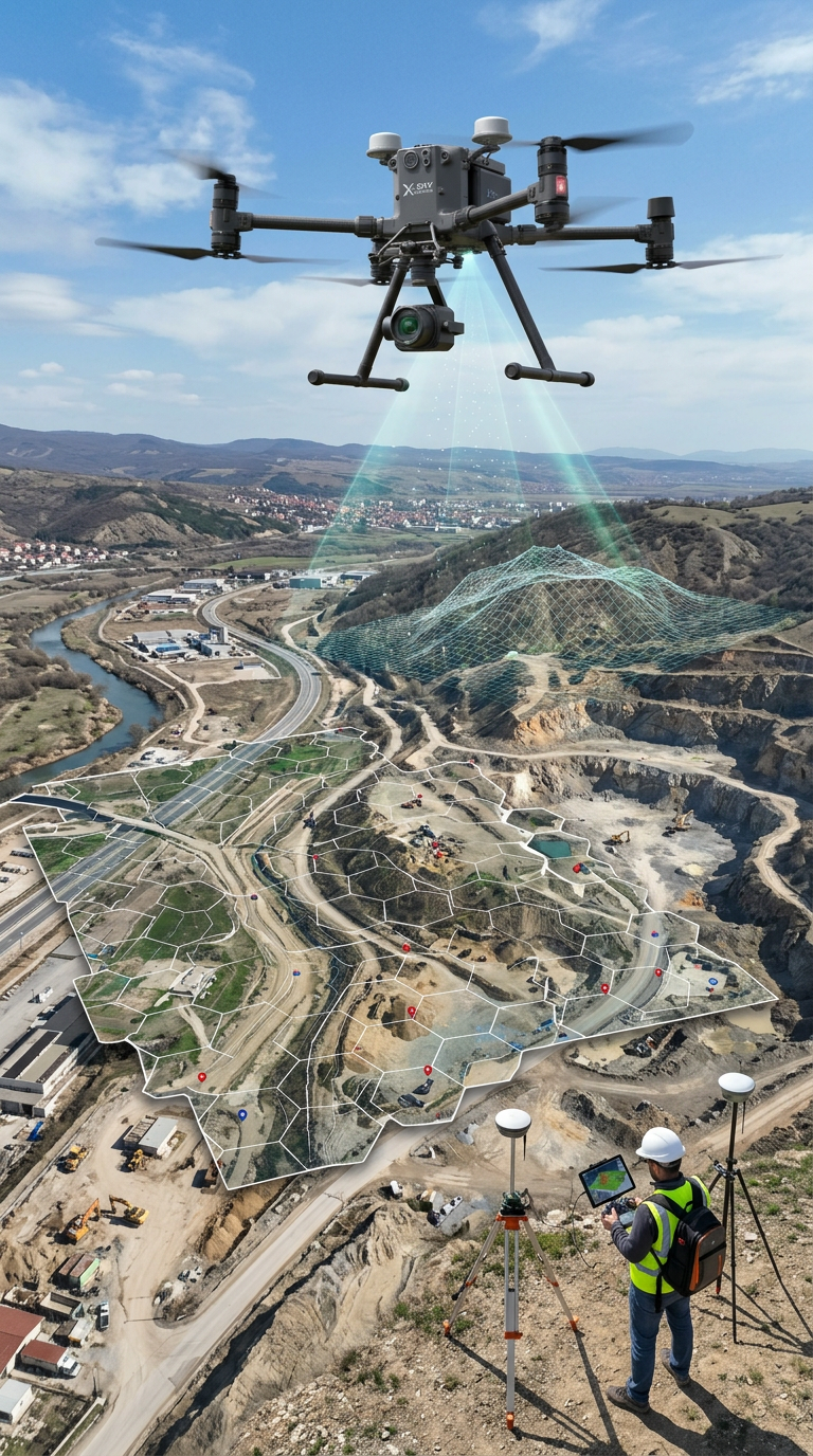
Mapping, Orthophoto, Geodetic UAV Systems, Digital Twins
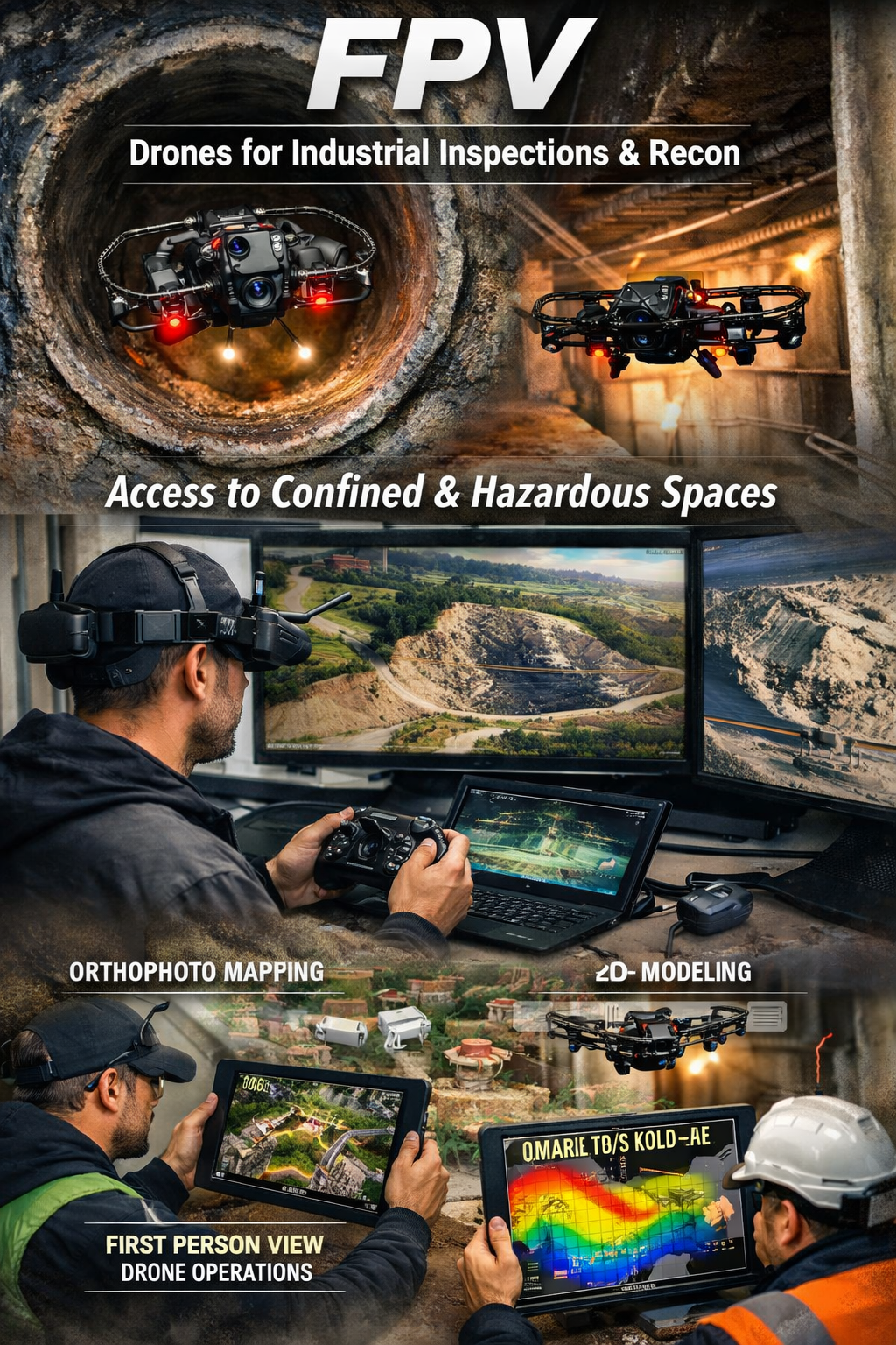
FPV Drone Inspections, Surveys
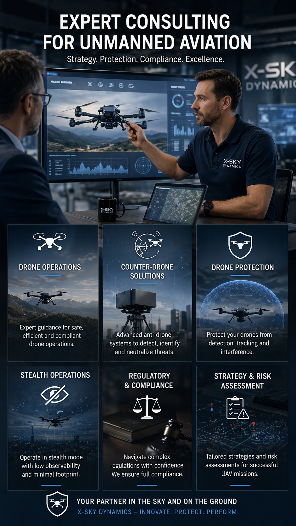
CONSULTING IN UNMANNED AVIATION DRONES, ANTI-DRONE SYSTEMS
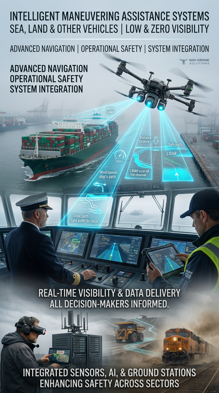
Systems for Assisting the Maneuvering in Low or Zero Visibility
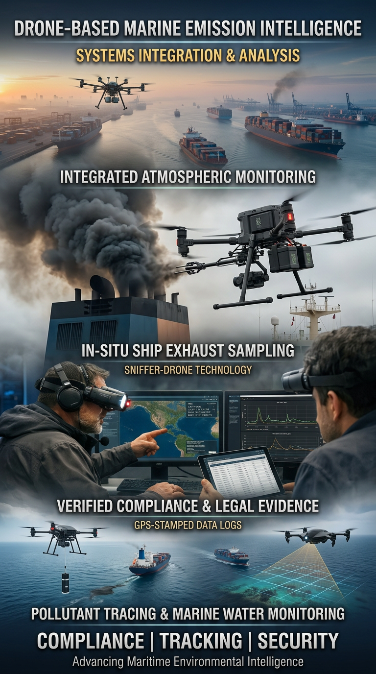
Drone Systems for Exhaust Gas Analysis
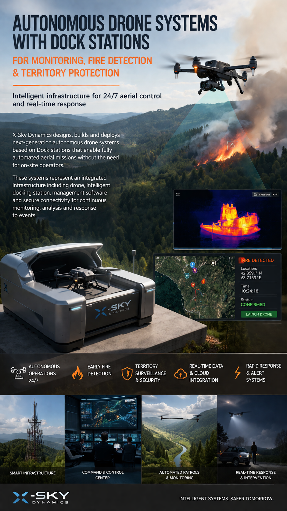
Drone Dock Stations for Monitoring, Early Fire Detection
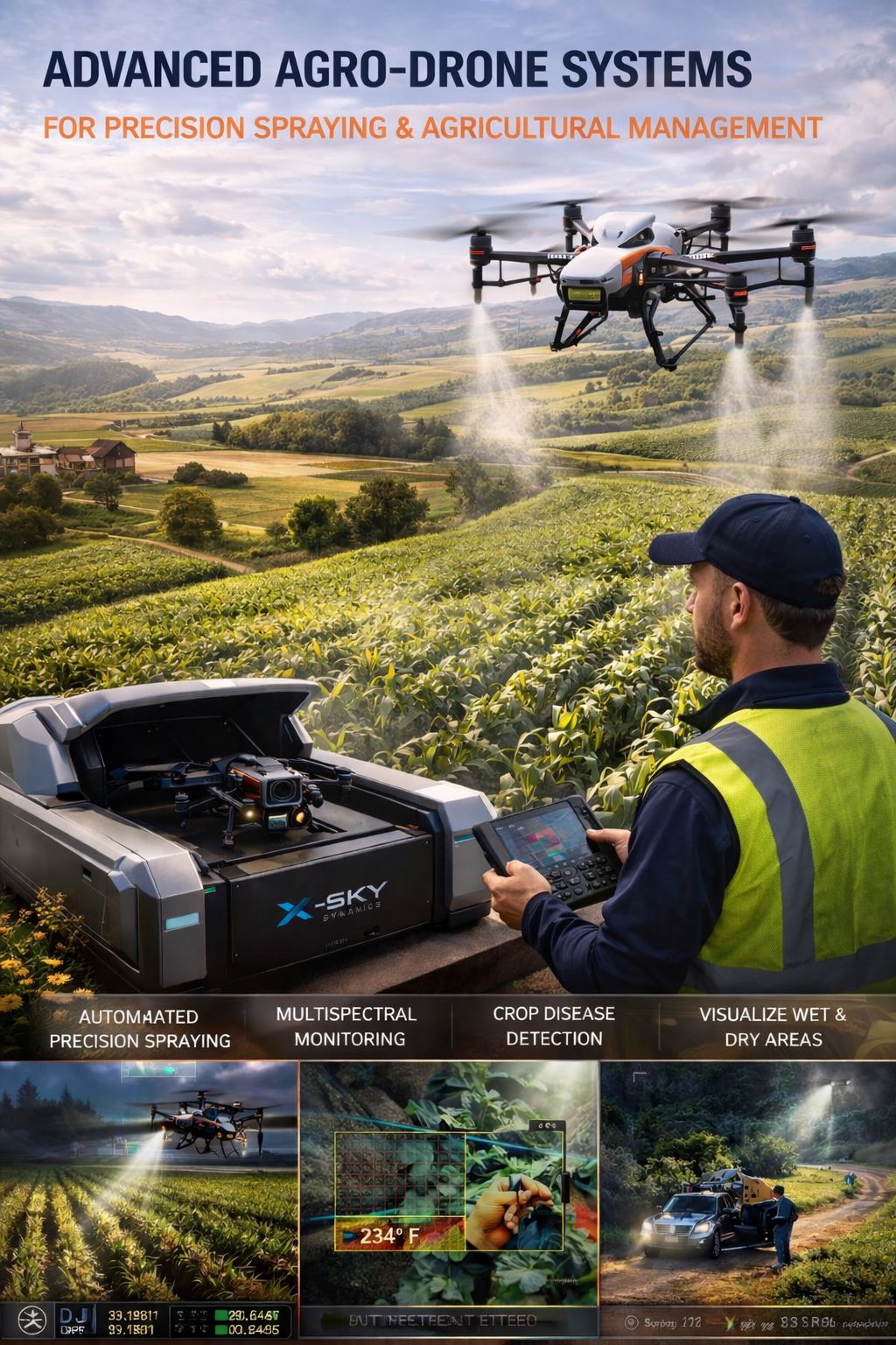
Agricultural Drone Systems for Precision Spraying, Spectral Monitoring
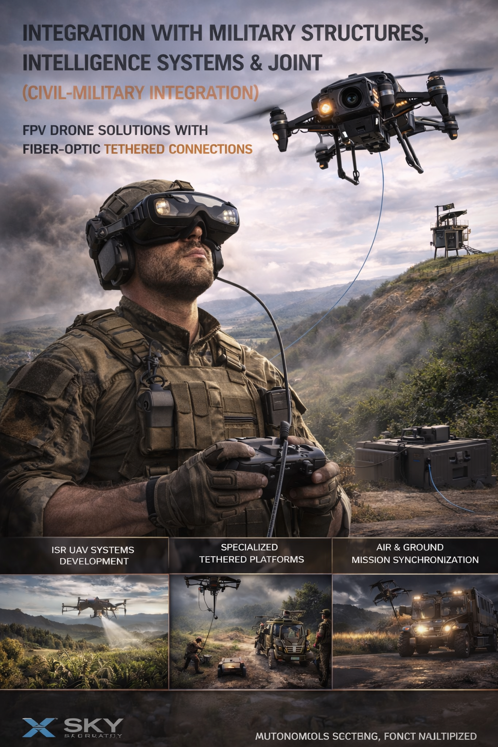
UAV – Drone Integration with Military
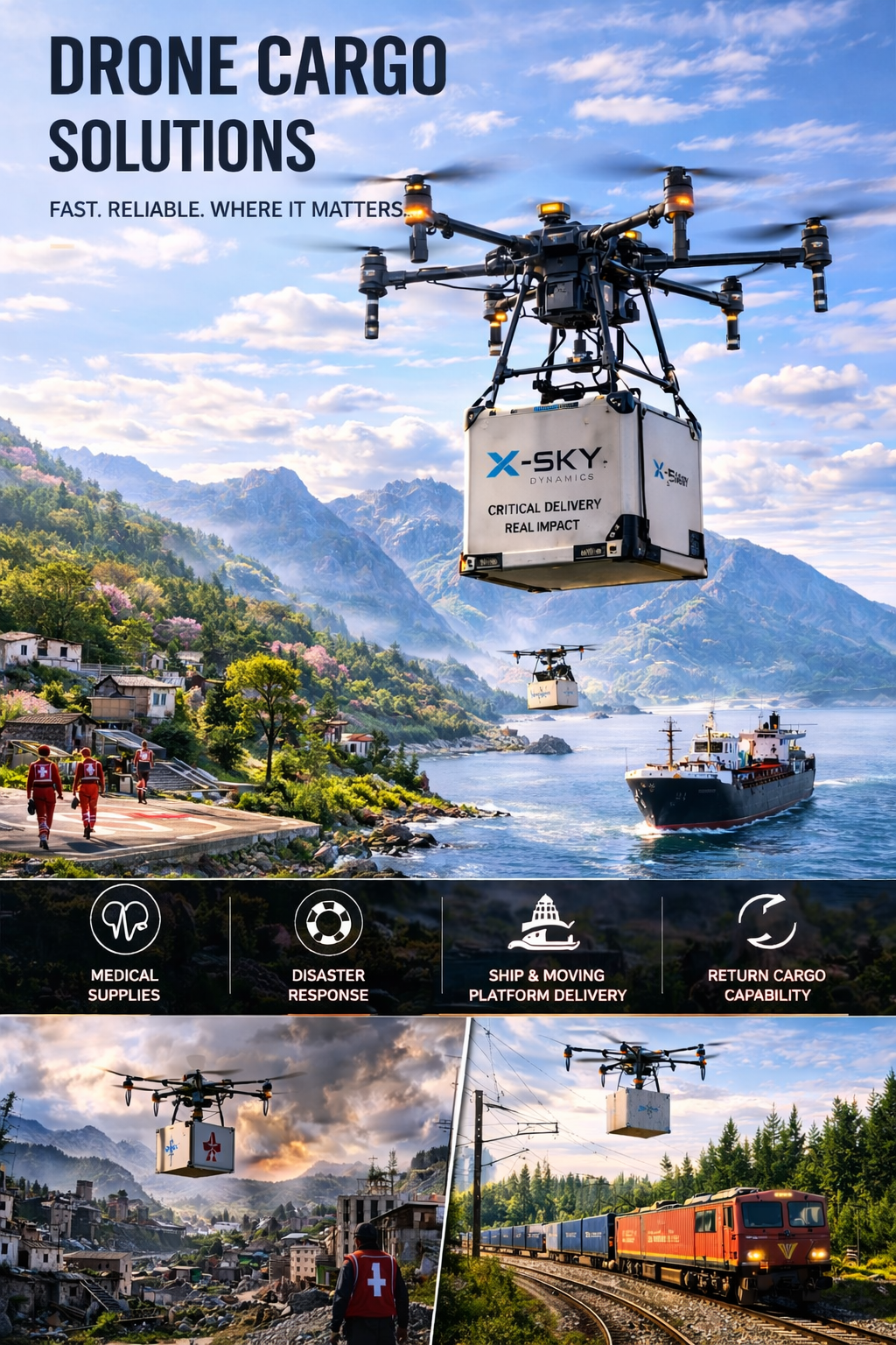
Cargo Transportation with Drones
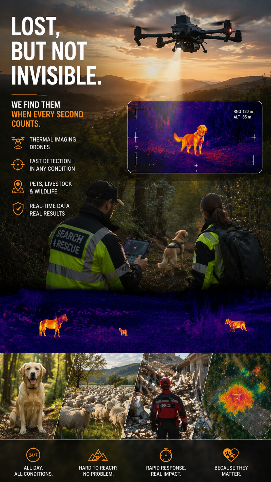
Search and Rescue of Pets and animals Using Drones
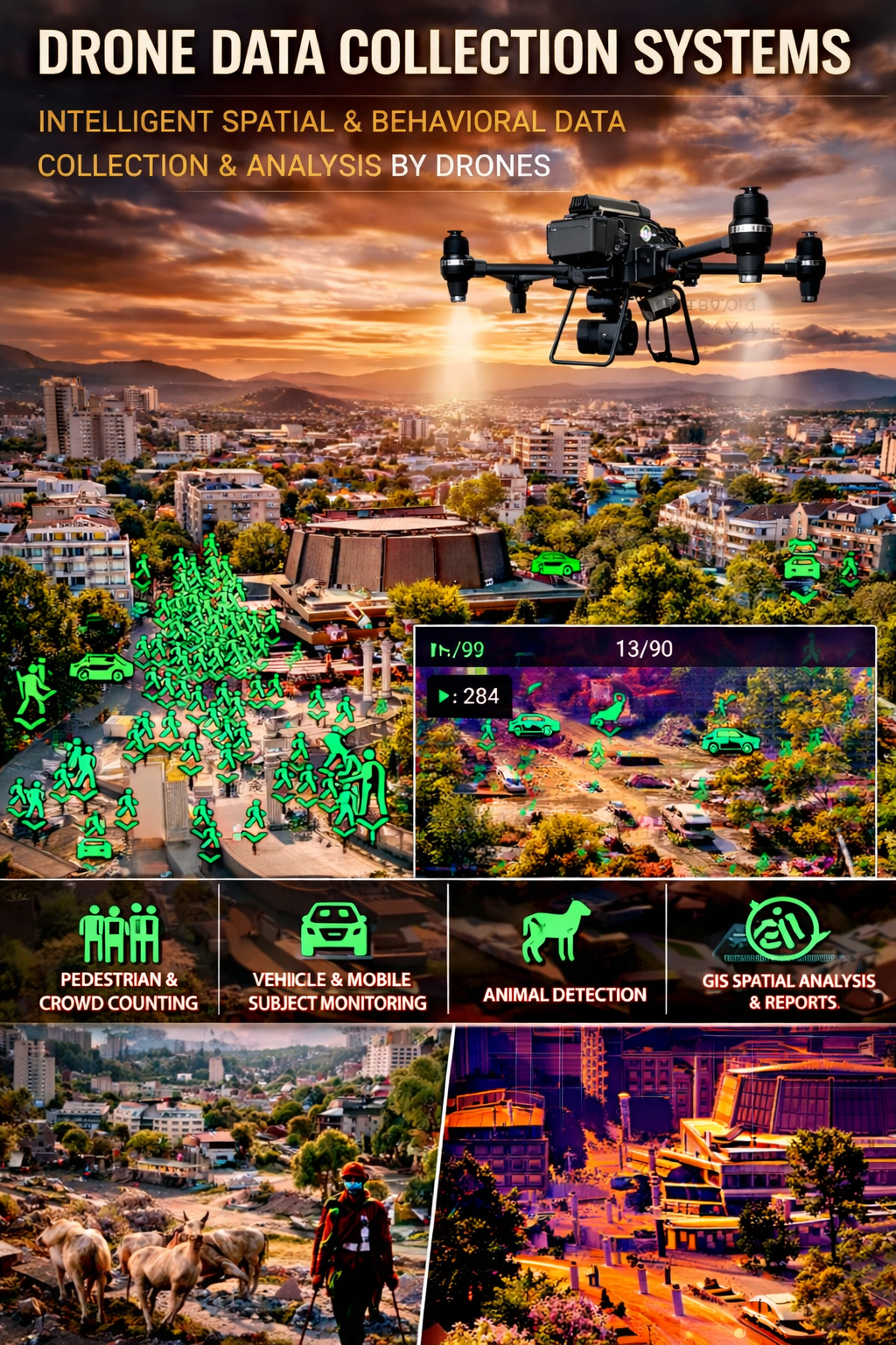
Drone Systems for Collecting Statistical Data
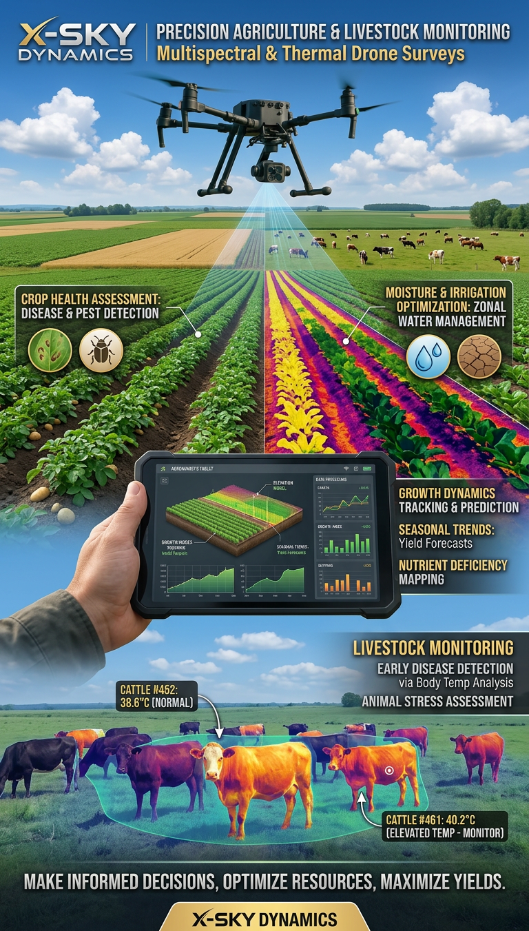
Multispectral and Thermal Drone Surveys for Agriculture
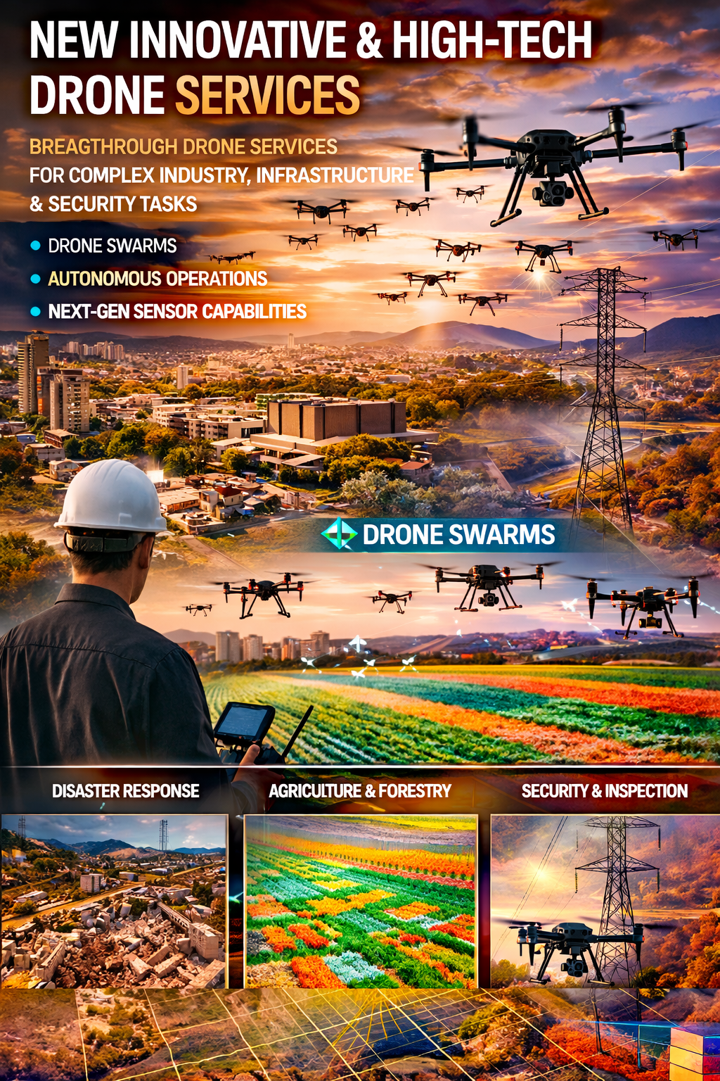
Innovative and High-Tech Drone Services
DRONE PILOTS AND OPERATORS TRAINING AND COURSES
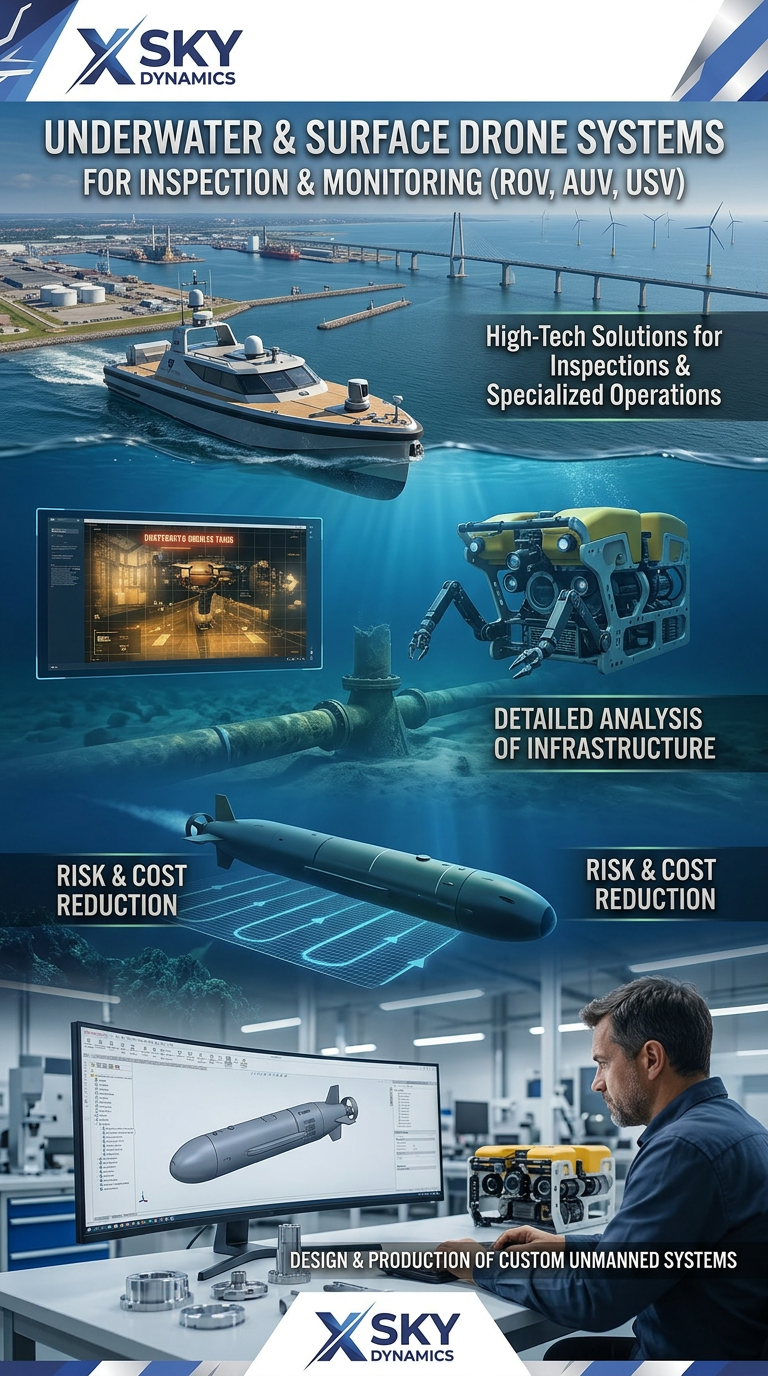
Underwater and Surface Drone Systems ROV, AUV, USV
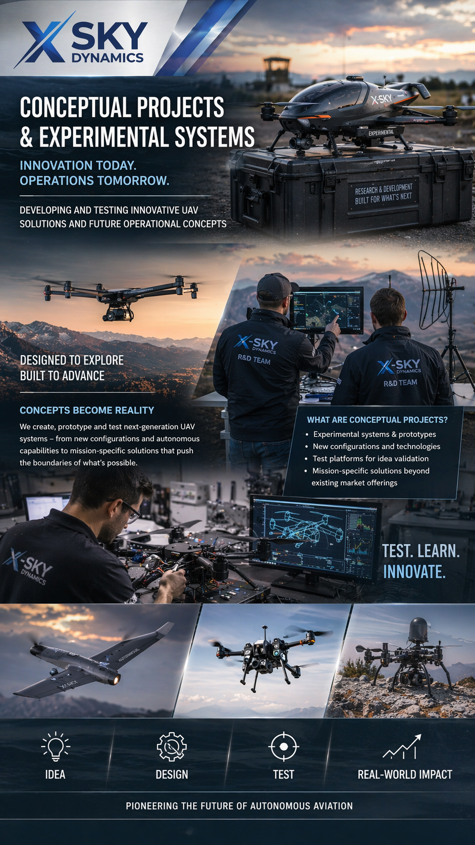
Concept Drone Projects & Experimental UAV
Autonomous Drone Systems with Dock Stations
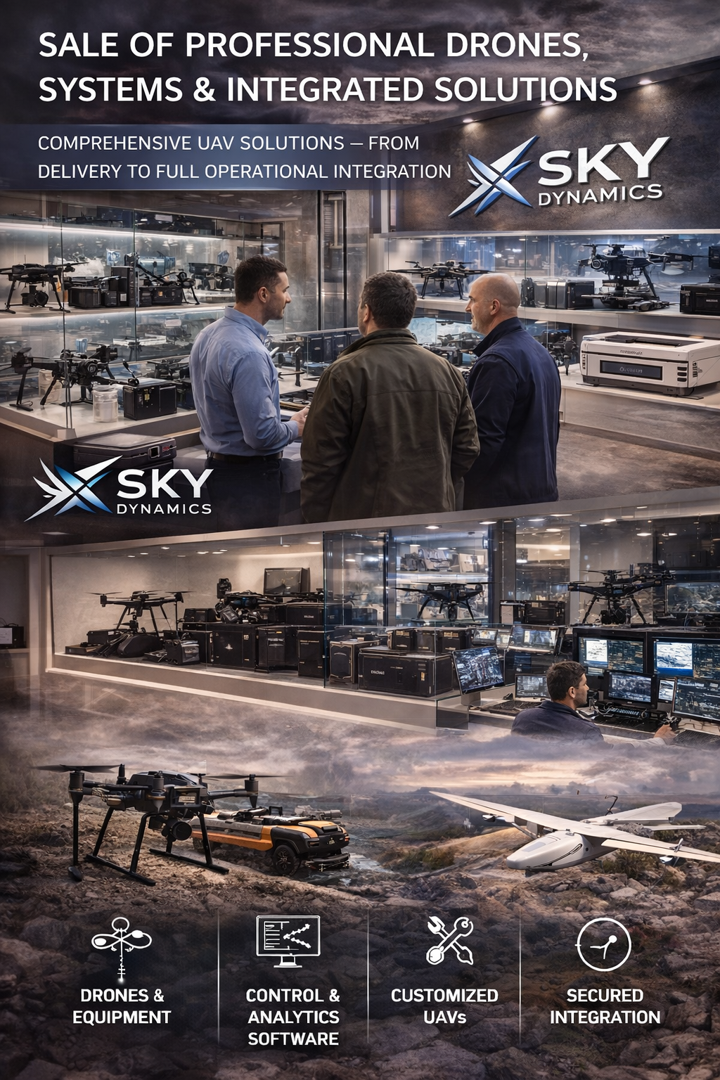
Sales of Professional Drone systems
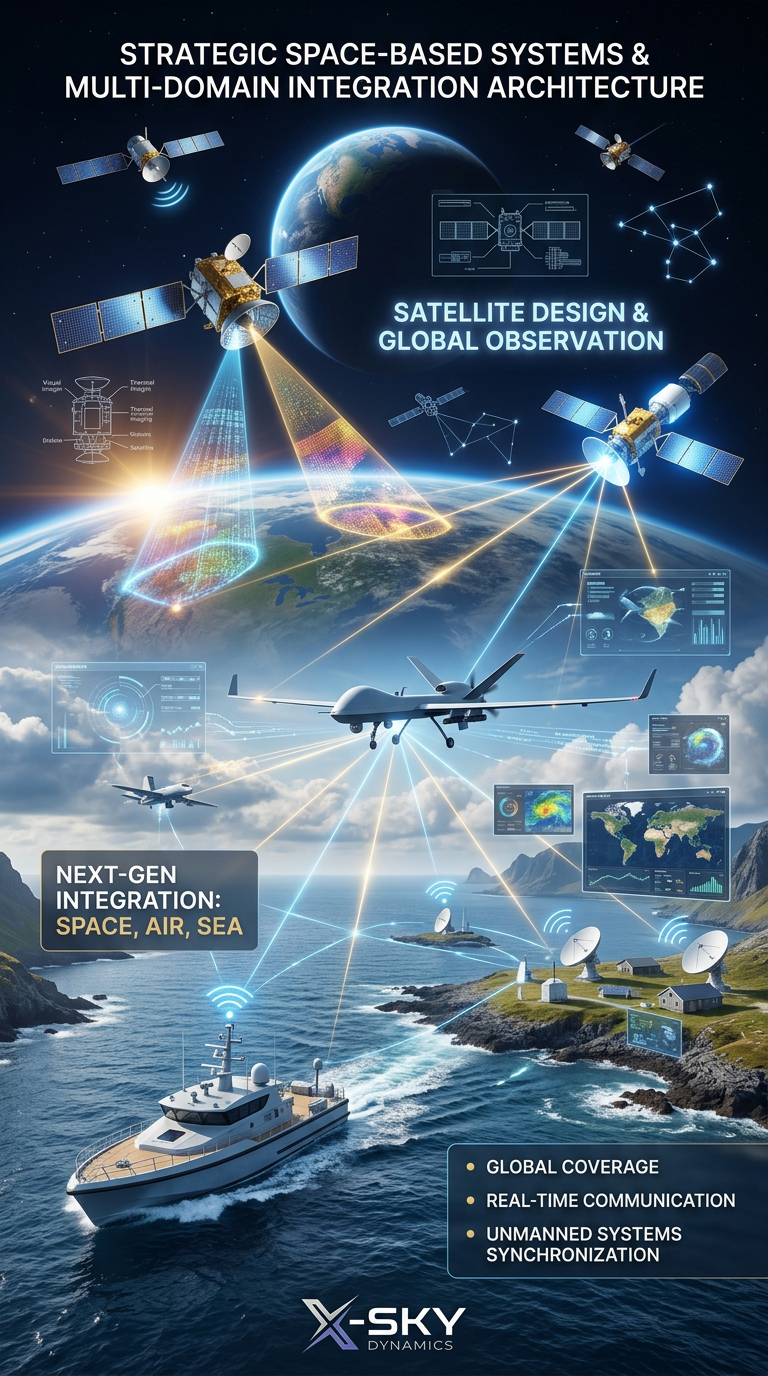
Satellite Imaging, Satellite Design and Integrated
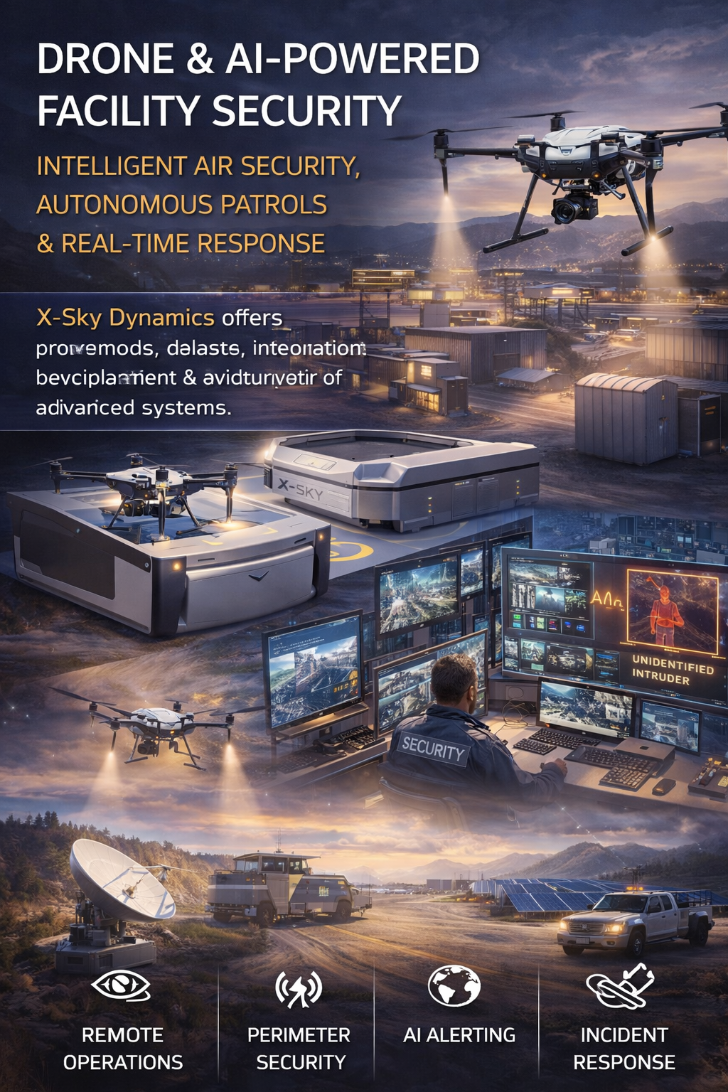
Security of Sites Through Drones AI Systems
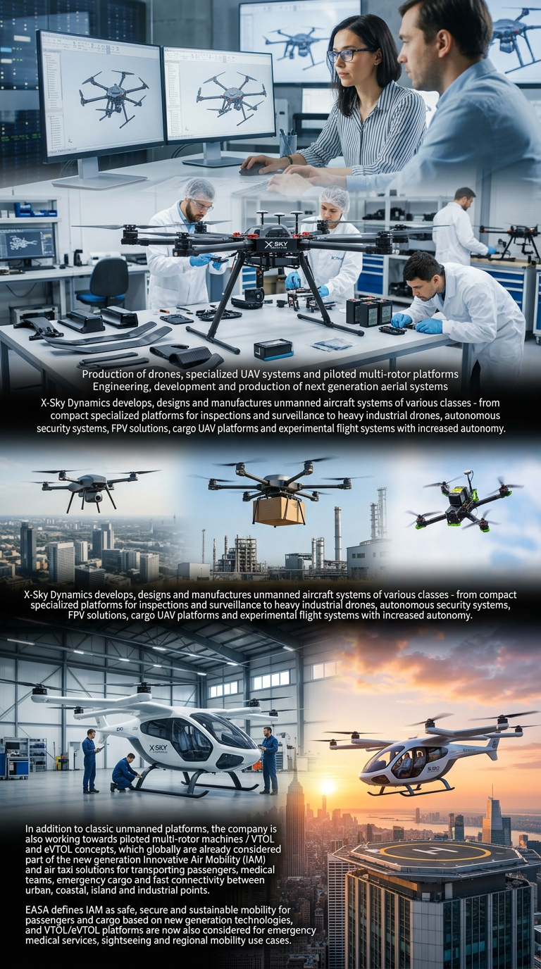
Drone eVTOL, Manufacturing and Manned Multirotor Platforms
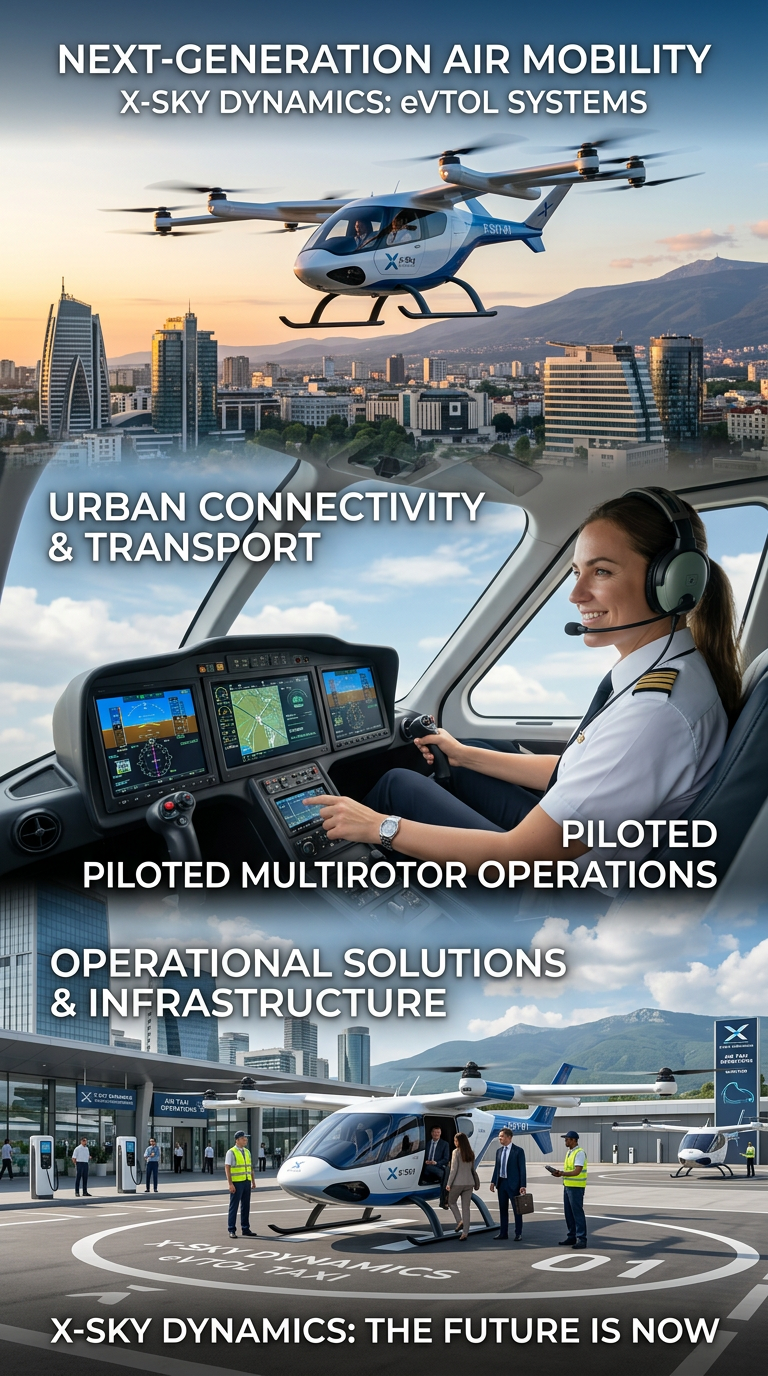
Air Taxis and eVTOL Systems
Drone and Video Services in Maritime Transport
Space Agriculture, Agri-Systems for Extreme Environments
Cybersecurity, Cyber Defence and Protection of Critical Infrastructure
Cybersecurity and Protection of UAV and Autonomous Systems
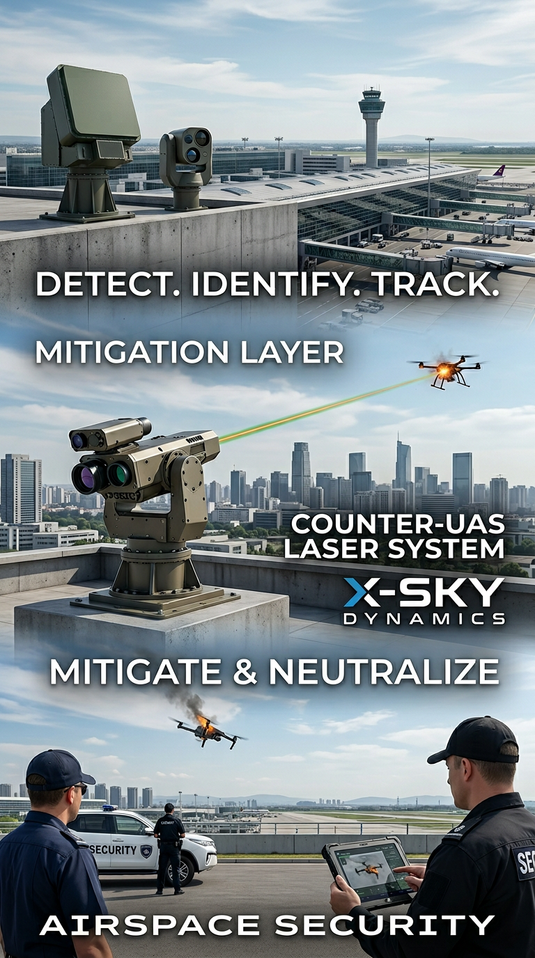
Counter-UAS, Laser and Kinetic Systems
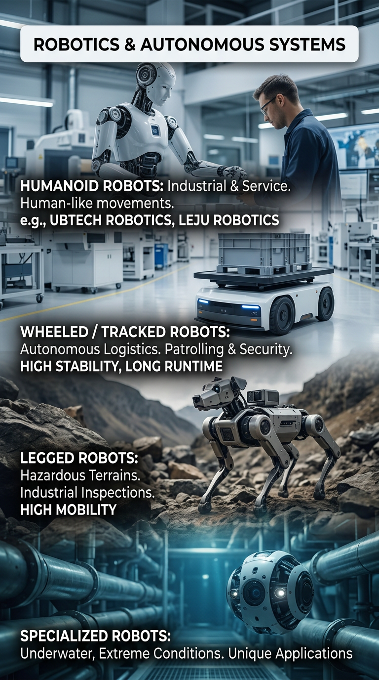
Robots and Autonomous Systems
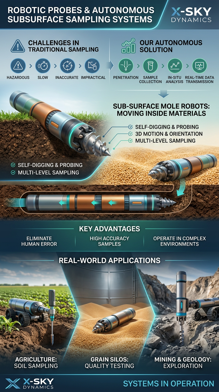
Robotic Probing Systems and Subsurface Technologies
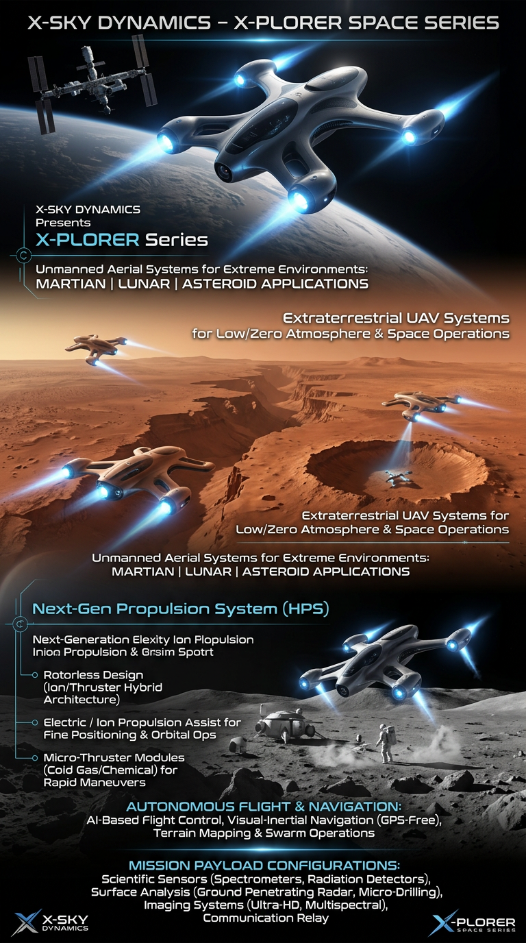
Space Drone systems SPACE X-PLORER SERIES

RAIGNV – Industrial UAV Systems, Automated Drone Stations
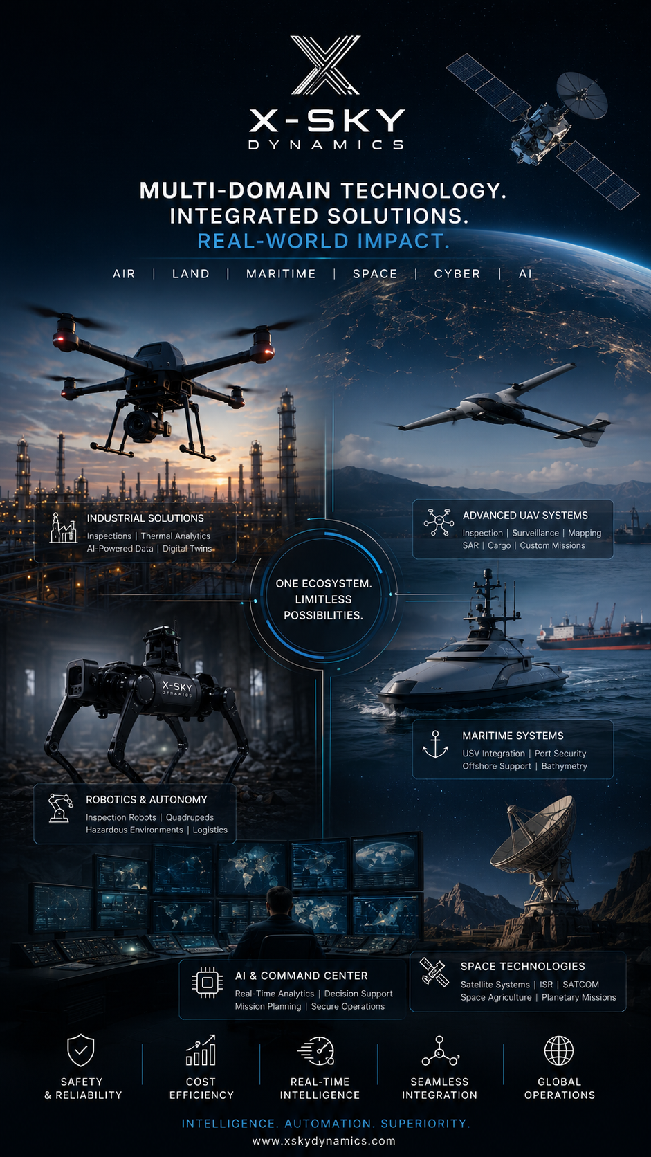
Current and Future Investors in X-SKY Dynamics and Company Partners
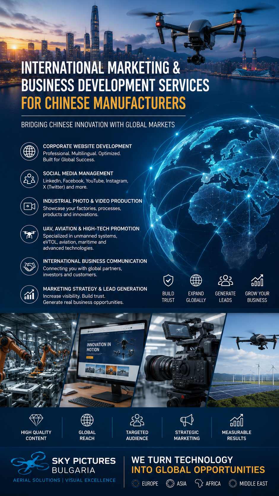
China ↔ EU Marketing
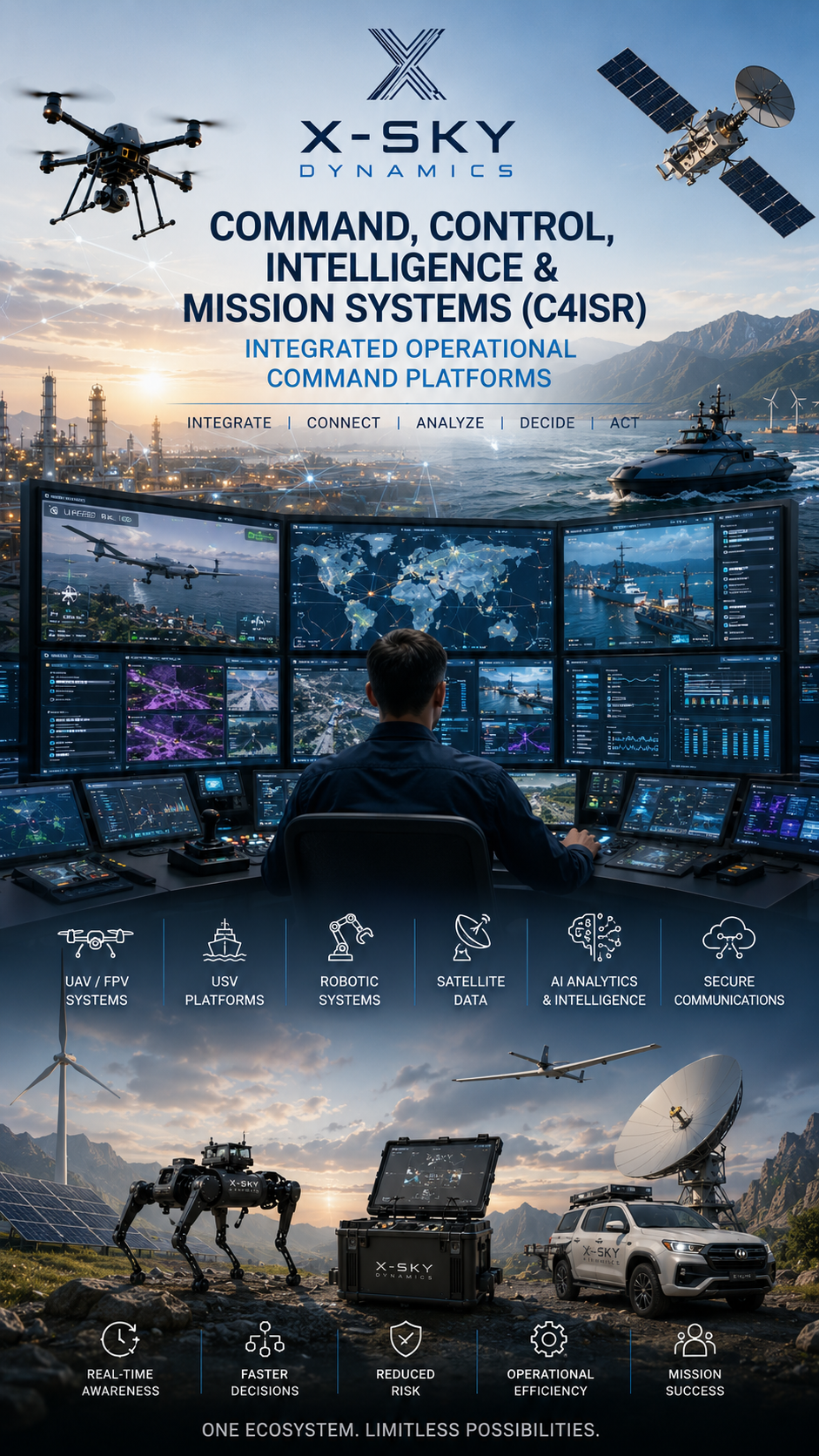
Next-Generation Systems for Real-Time Operational Management (C4ISR)
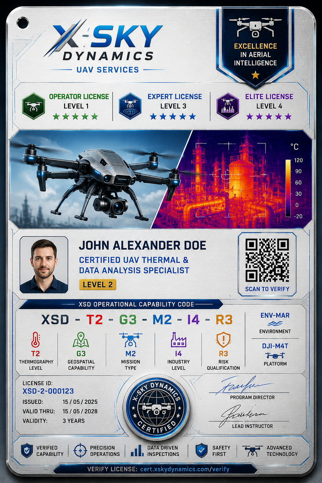
Professional Thermography Training, Qualification & Certification Framework for UAV-drone operators
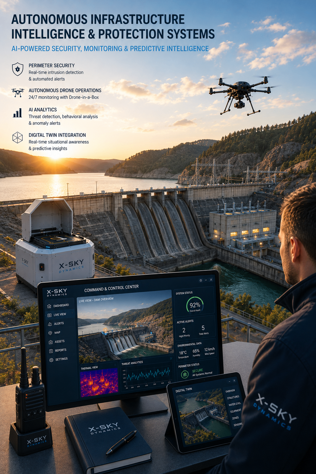
Monitoring, Defense & Predictive Infrastructure Platforms
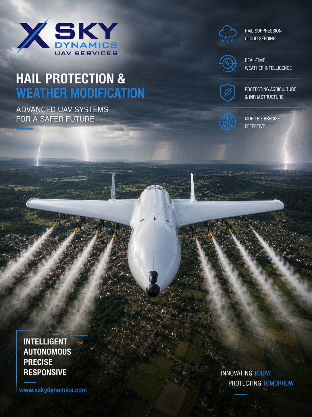
UAV Systems for Hail Suppression, Weather Modification

eVTOL Intelligent Ultra-Light Electric Aircrafts ANTG
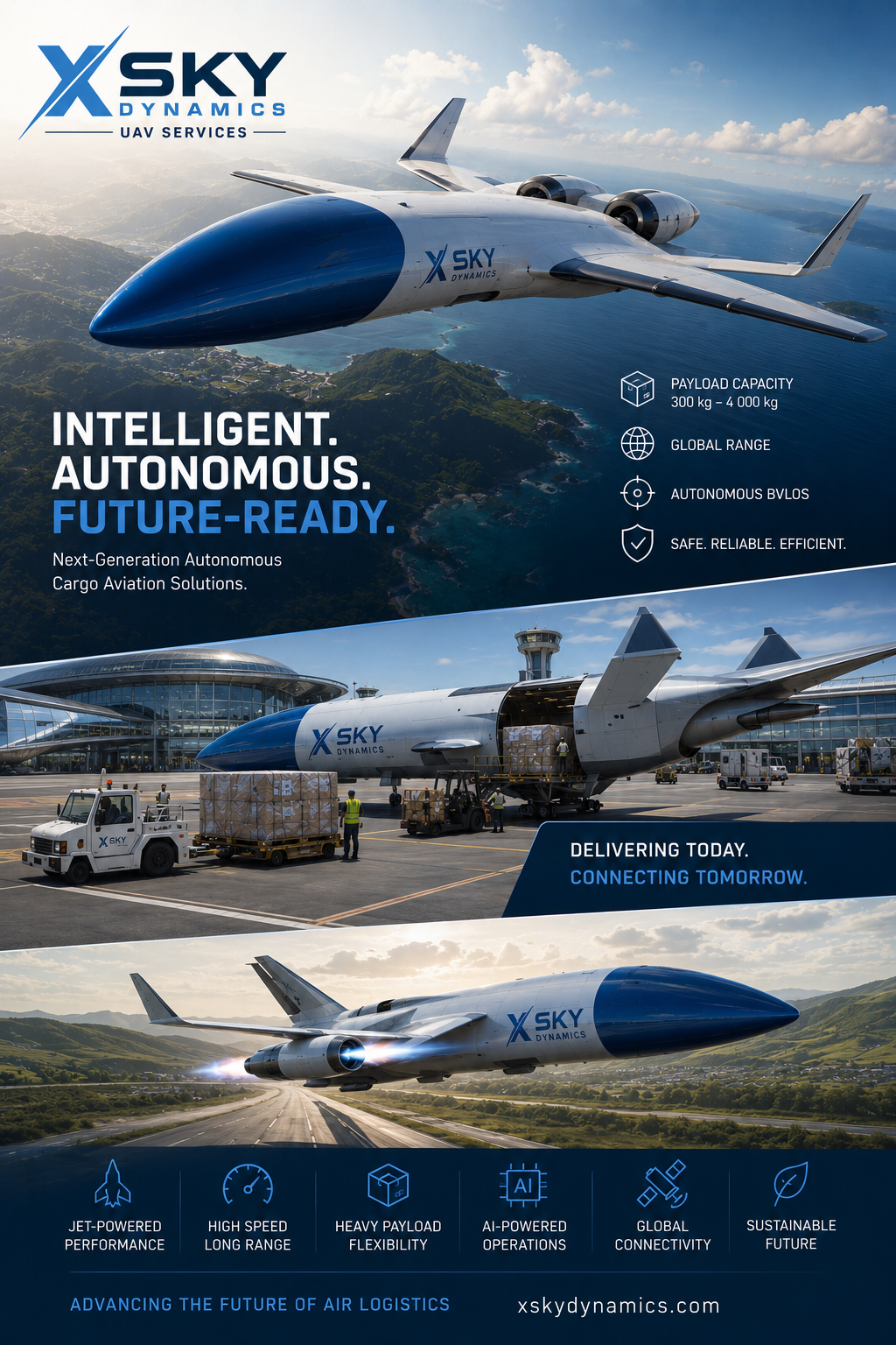
Cargo Air Mobility Systems - Cargo UAV Aircraft
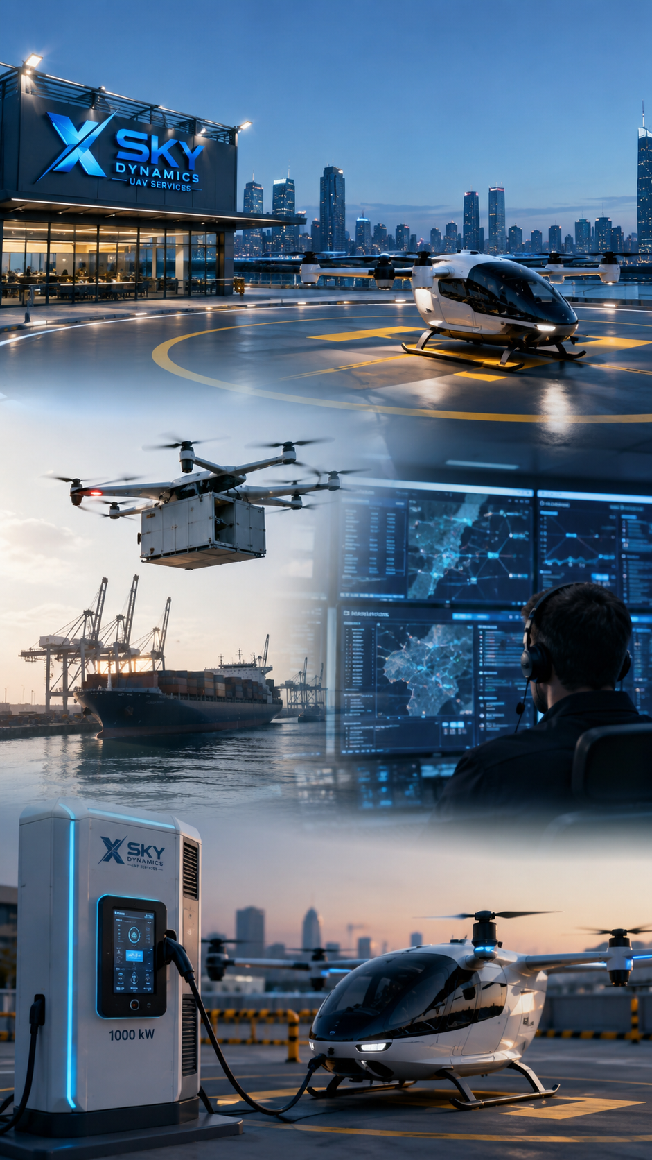
eVTOL Vertiports Infrastructure & Advanced Air Mobility
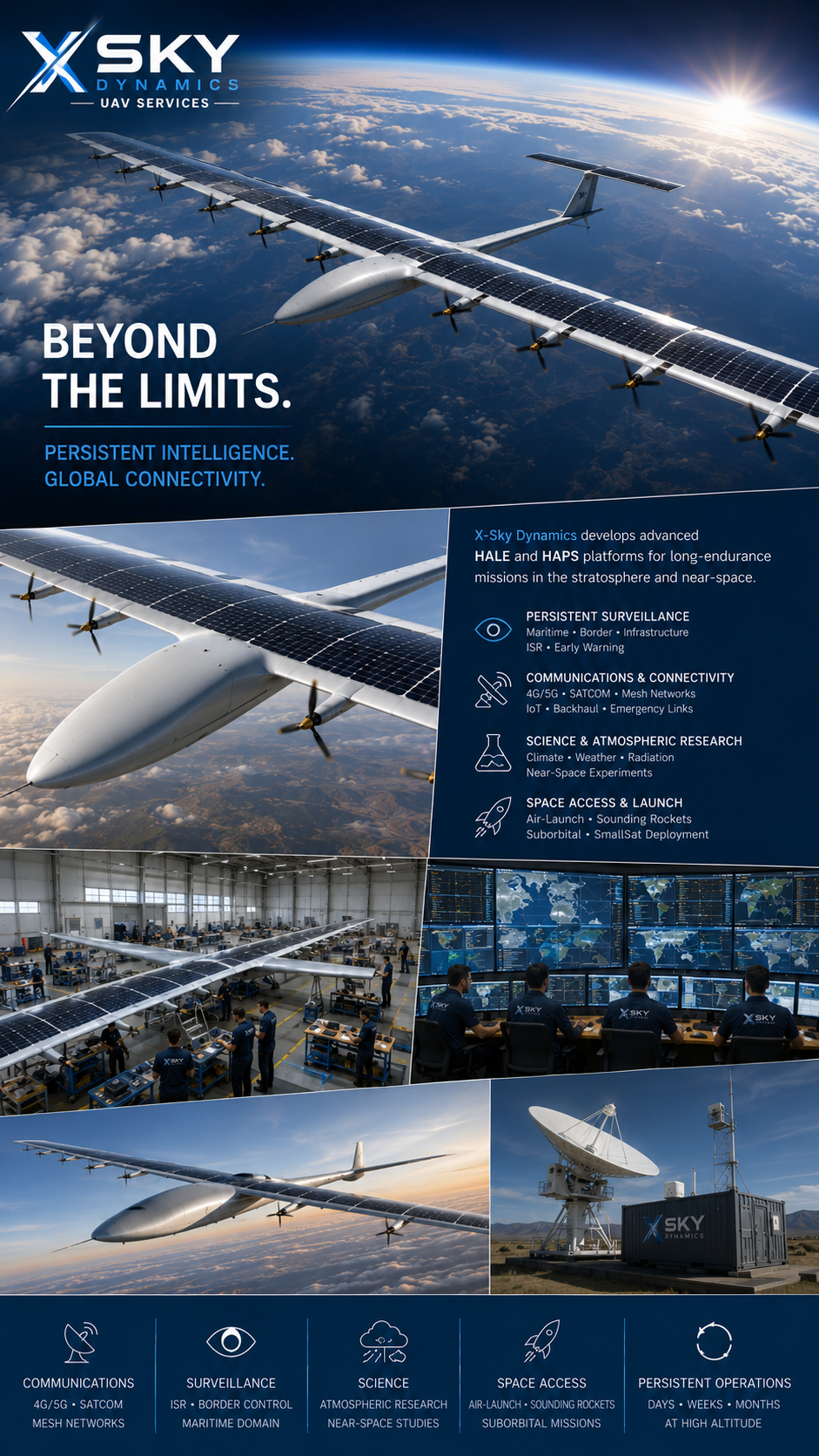
Solar & Hybrid Stratospheric Unmanned Platforms
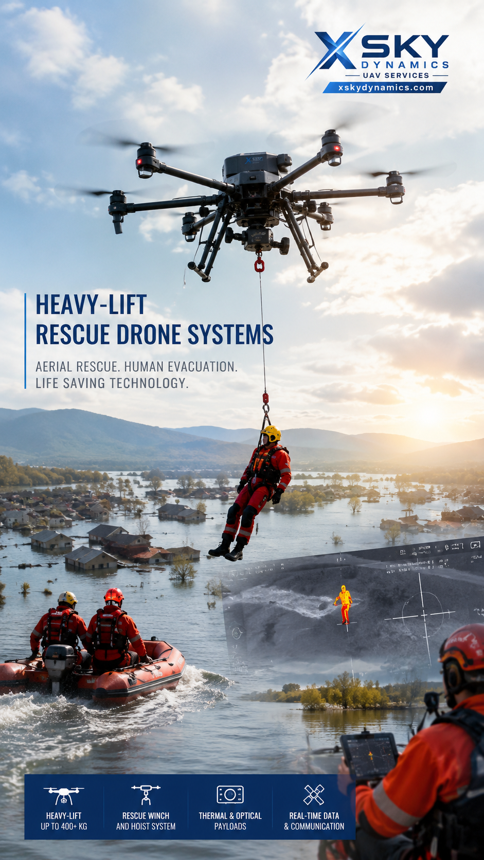
Heavy-Lift Rescue Drones
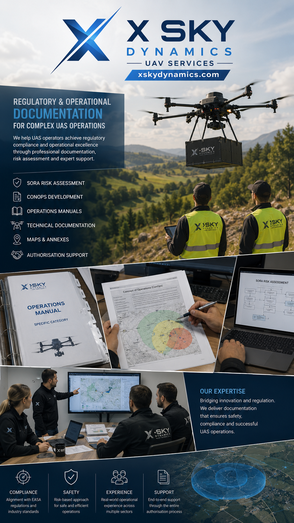
Specific Category & SORA Documentation

Remote Video Production