[ SERVICES / SYSTEMS FOR ASSISTING THE MANEUVERING IN LOW OR ZERO VISIBILITY ]
/ SERVICE #10
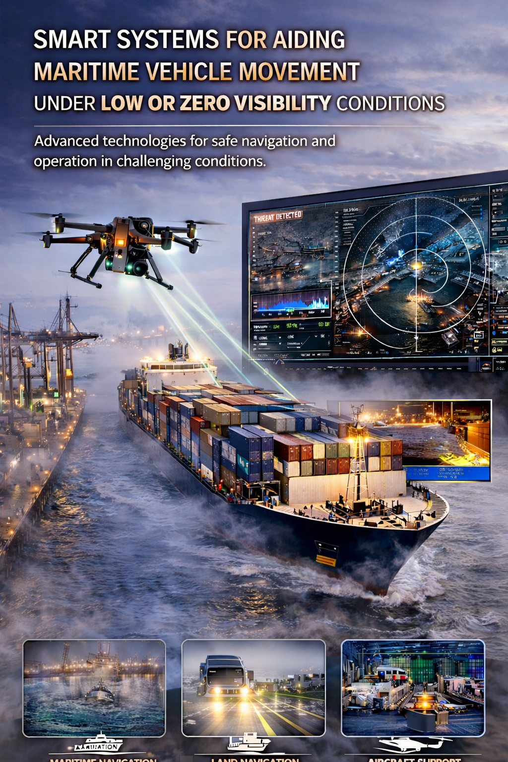
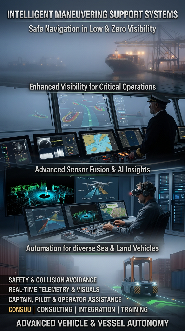
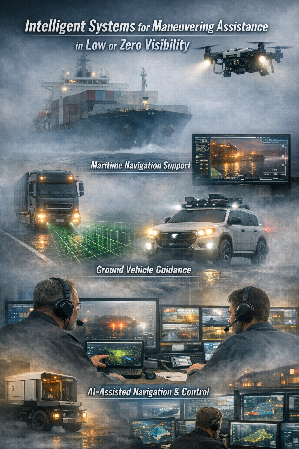
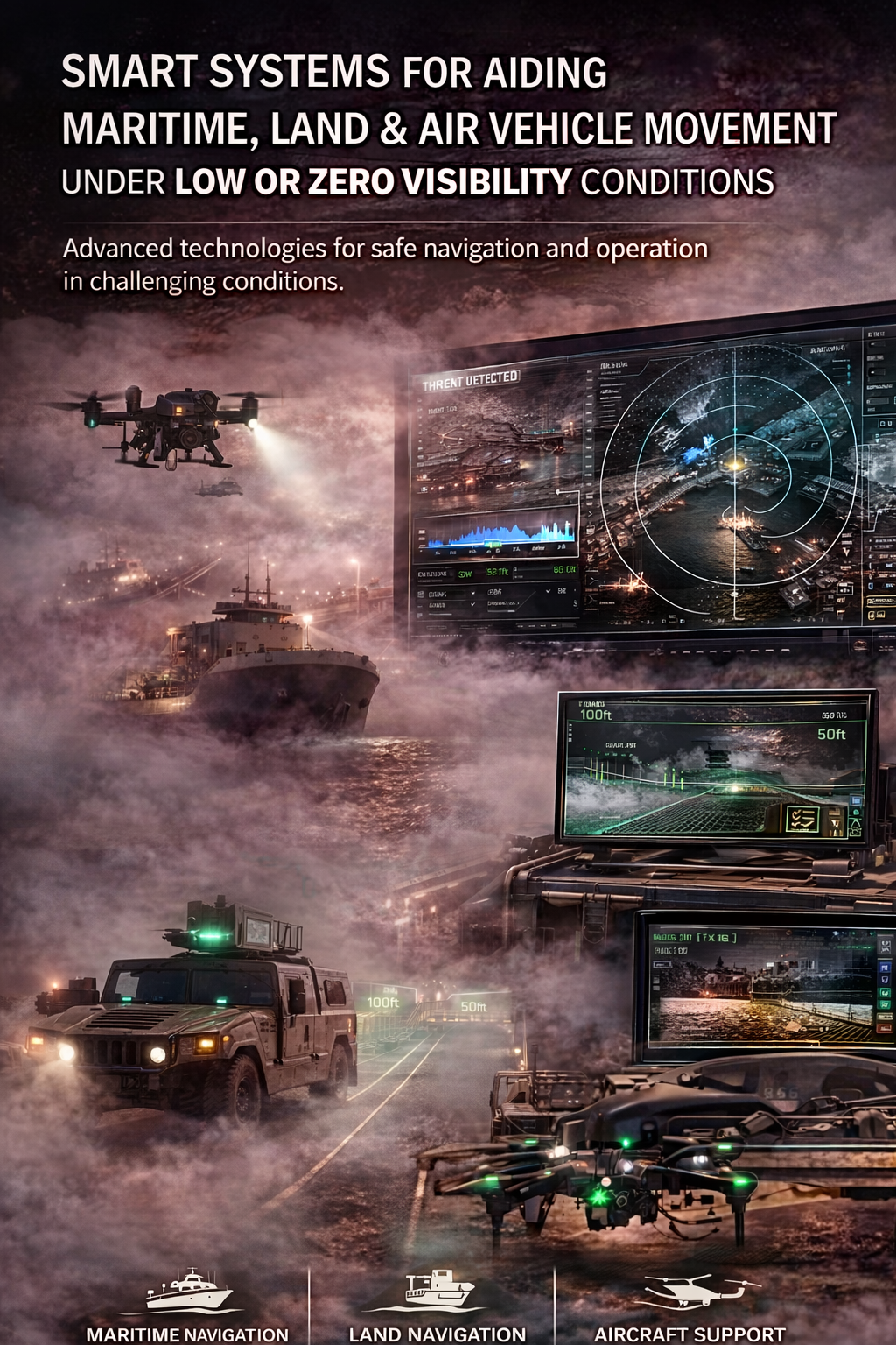
Systems for Assisting the Maneuvering of Marine, Land, and Other Transport Vehicles in Low or Zero Visibility Conditions
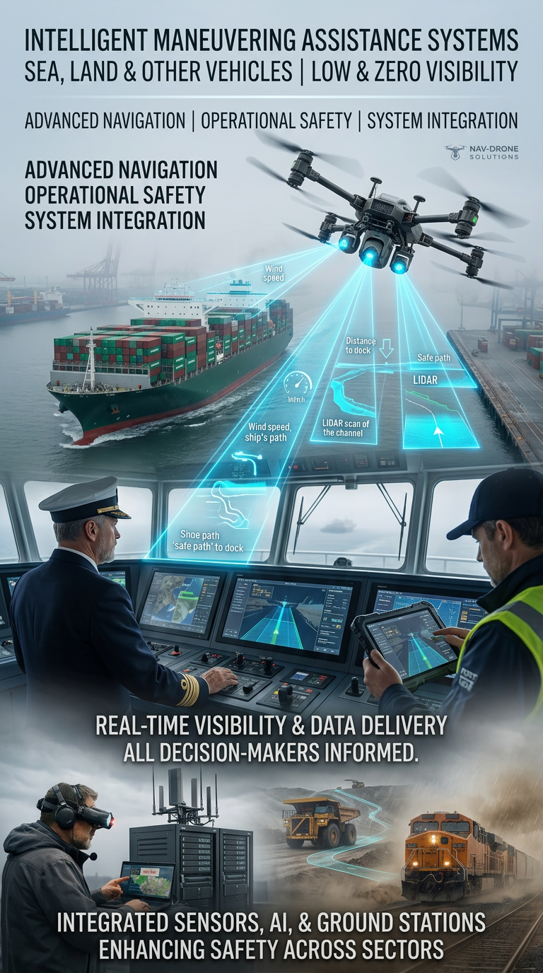
Systems for Assisting the Maneuvering of Marine, Land Transport Vehicles in Low or Zero Visibility Conditions development, training, consulting, and implementation of systems for safe management and navigation in complex weather or other conditions involving low or zero visibility. Our core activity is the integration of drones, ground stations, sensor technologies, software, and artificial intelligence Increasing safety during the operation of transport vehicles and machinery, including in maritime, land, and air transport
/ 01
- Enhancing real-time visibility in critical conditions and assisting vessels in entering port areas and performing safe maneuvers, reaching their final destination while delivering visual, telemetry, and other technical data to all services and units involved in the maneuver
- Automating and simplifying the tasks of captains, pilots, air traffic controllers, operators, and drivers of nearly all types of vehicles and machinery.
Our team includes experts in:
- Aviation and maritime transport connectivity
- Real-time spatial and thermal analysis software
- Remote control systems for multiple command centers, regardless of their global location, with the ability to analyze infrared and thermographic imagery within seconds for decision-making in complex weather and other conditions
- Industrial drones with top-tier technology and integrated communication networks.
What We Offer
Blind Maneuvering Systems – Maneuvering in Zero Visibility
/ 02
Integrated navigation and visual systems based on unmanned aerial vehicles (UAVs) – drones, designed for:
- Marine vessels – ships, tankers, container ships, bulk carriers, tugs, ferries, yachts, fishing boats, and everything related to maritime transport
- Heavy construction machinery – excavators, cranes, bulldozers
- Vehicles operating in tunnels, shafts, and industrial zones
- Aviation transport
- Railway transport and infrastructure
- Analysis of coastal areas, ports, adjacent infrastructure, forest massifs, and more.
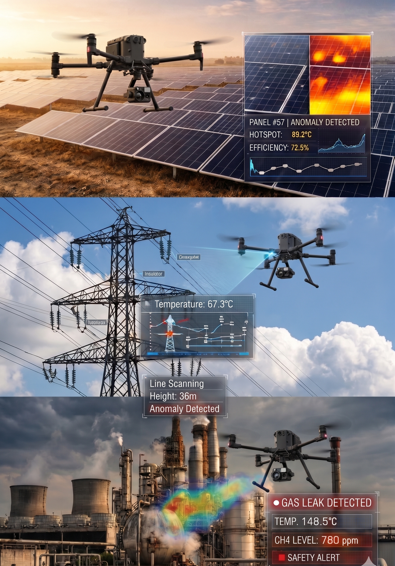
Key Features:
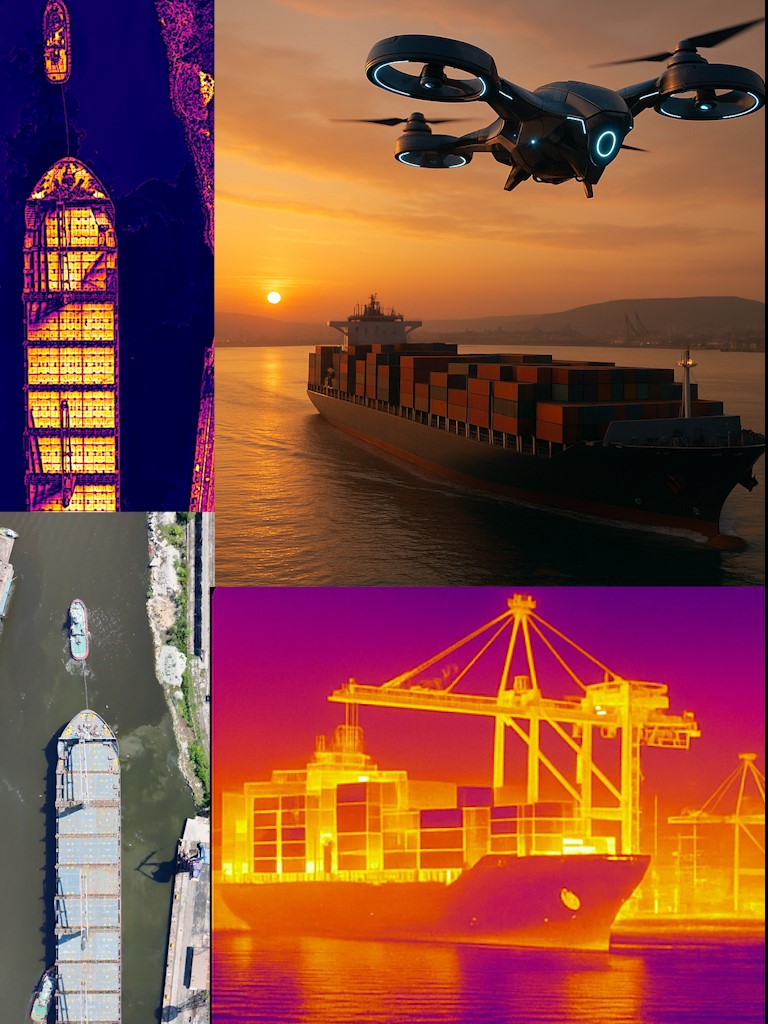
- Real-time Thermal Imaging – Cameras with infrared and thermal spectral sensitivity, detecting heat sources (humans, machines, animals, surface temperature), as well as the contours of vehicles and their environment. This professional analysis allows visibility in complete darkness, dense fog, smoke, or dust. The system shows the vehicle’s dimensions, obstacles ahead, and its destination
- Integration with LiDAR and GPS/RTK – Enables spatial orientation and positioning with accuracy up to 2 mm, and under restricted environments (e.g., port or tunnel), accuracy reaches under 1 mm using additional UWB beacons
- Real-time 3D Mapping – Built using data from drones, sensors, and stationary cameras
- Automatic Alarms and Visual Indicators – Operators receive alerts when approaching objects, people, edges, cables, and other obstacles.
System Components
/ 03
Drones with Thermal Vision, LiDAR, Ultra-High Resolution Visual Cameras with Optical Zoom
- Enterprise-type industrial models capable of 24/7 operation and remote control without requiring nearby operator intervention
- Stream thermographic and RGB video to the ground station
- Used for ship maneuvers in fog, darkness, and low-visibility zones
- Powered by backup batteries, with optical positioning when GPS is unavailable.
Ground Stations and Command Modules
- Portable or stationary control centers, deployable globally and capable of remote participant access to the operation
- Equipped with monitors, receivers, antenna modules, and software, controlled by humans, AI, or both
- Compatible with Starlink, Thuraya, LTE/5G for real-time data transmission when remote control systems are unavailable.
Trained Operators and Support
- Our team provides remote or local system operation
- Personnel training for drone, ground station, and software operation
- 24/7 remote support, diagnostics, and software updates.
/ 04
Additional Equipment and Sensors
- LiDAR for high-precision distance measurement
- Ultrasonic sensors for indoor operation
- RTK GNSS for corrected GPS precision
- Designed for operation in dusty, rainy, foggy, or marine-corrosive environments.
Services We Provide
Sales and Implementation
- Modular or full system sales
- On-site or remote installation and configuration
- Consulting on system selection, location analysis, and related activities.
Training and Operator Services
- Individual or group personnel training
- Option to hire certified operators for critical missions.
/ 05
Custom Technical Plans
- Field inspection and analysis
- Development of technical drawings, sensor architecture, and software plans.
Consulting
- Feasibility studies and risk assessment
- Recommendations and strategies for optimal integration.
Application Areas
- Maritime and River Transport – Maneuvering in port areas under poor or zero visibility
- Warehousing and Logistics Zones – Autonomous or semi-autonomous machine control
- Heavy Construction – Especially in areas with underground or overhead infrastructure
- Mining and Quarrying – Navigation in tunnels and shafts
- Rescue Operations – In flooded areas, landslides, and disasters
- Aviation and Railway Transport – Runway and track maintenance during night/storms or on a regular basis.
/ 06
Institutions and Organizations Typically Targeted
- Maritime Administration
- Bulgarian Ports Infrastructure Company
- Ministry of Transport and Communications
- Fire Safety and Civil Protection Directorate General
- Regional and municipal administrations
- Port and private terminal operators
- Shipbuilding and ship repair yards
- Shipowners
- Large construction and industrial companies, including concessionaires
- Airport operators
- Railway companies and National Railway Infrastructure Company
- Transport investigation services
- Irrigation systems and owners of strategically important dams and dams with critical walls
- Ministry of Interior, Traffic Police, for visualizing risky traffic pile-ups in poor visibility areas
- Mining companies
- Energy companies & renewable energy.
Conclusion
Investing in an intelligent navigation and monitoring system means:
- Improved operational safety
- Reduced human error and damage
- Uninterrupted operations regardless of weather conditions
- A modern solution aligned with future EU and international transport standards.
[ Get in Touch ]
X-Sky Dynamics
- ✉xskydynamics@gmail.com
- ✉xsky@xskydynamics.com
- ☎+359 87 6975862
 WhatsApp: +359 87 6975862
 Viber: +359 87 6975862
- 📍Sofia, bul. "Yanko Sakazov"

[ SERVICES ]
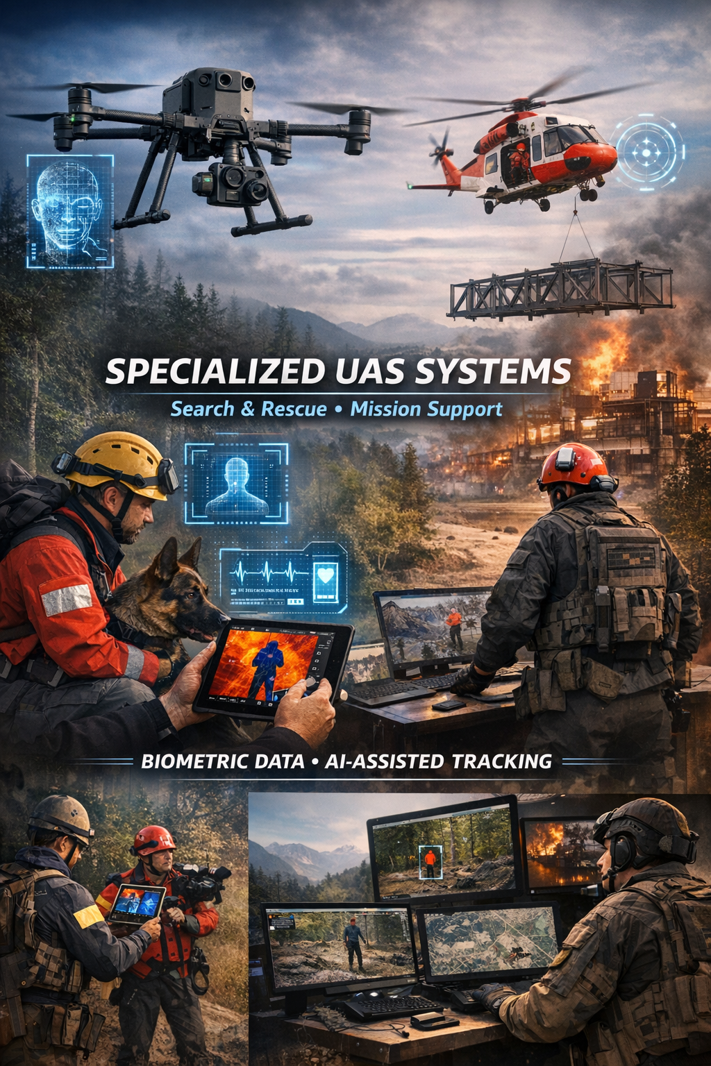
Specialized biometric UAS drone Systems for SAR
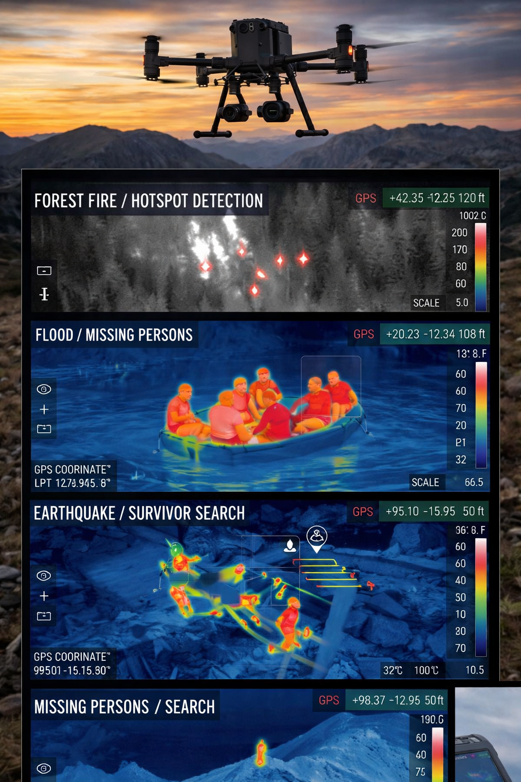
Search and Rescue via Drones
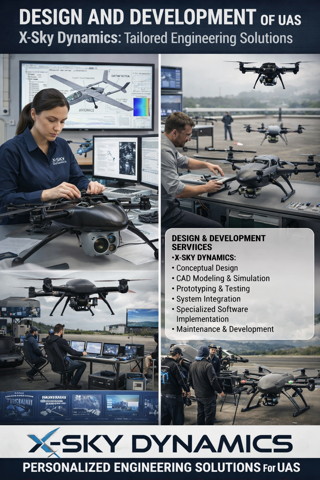
UAS Design, Engineering & Capabilities
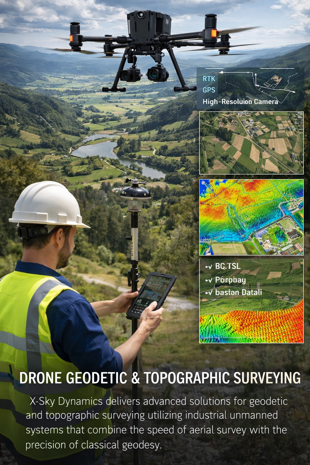
Geodetic and Topographic Surveying with UAV Systems
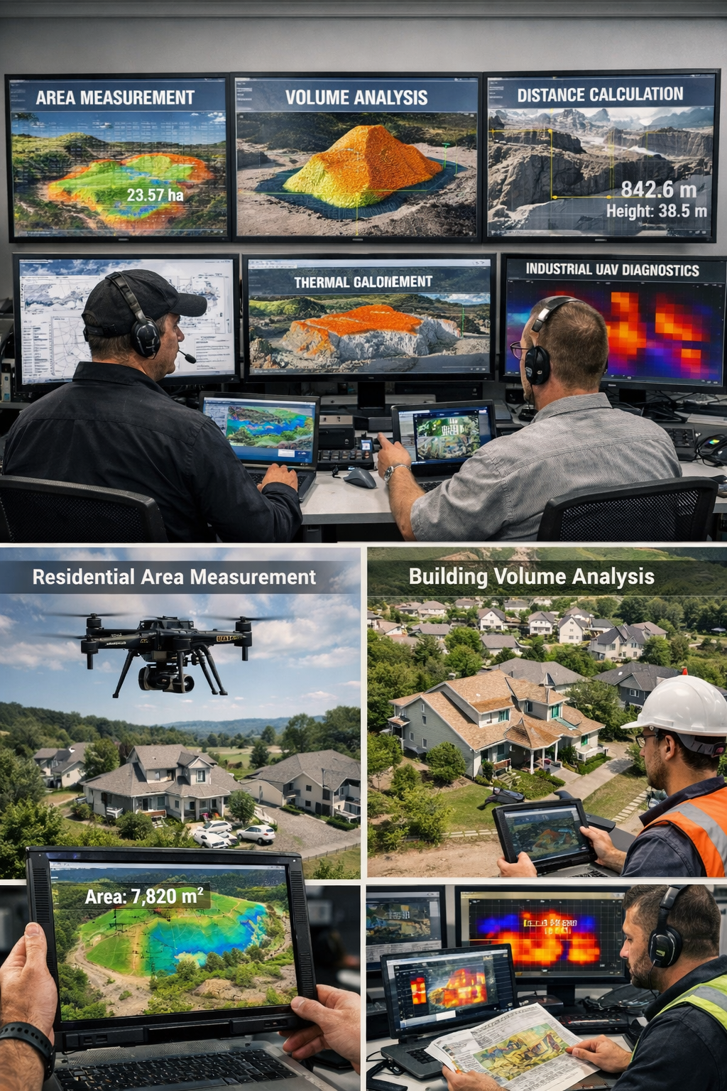
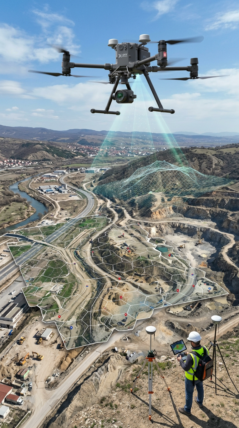
Measurement of Areas, Volumes, Distances with Drones
Mapping, Orthophoto, Geodetic UAV Systems
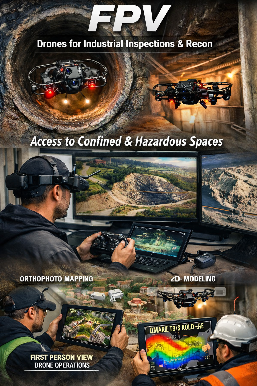
FPV Drone Inspections, Surveys
CONSULTING IN UNMANNED AVIATION (DRONES), ANTI-DRONE SYSTEMS
Systems for Assisting the Maneuvering in Low or Zero Visibility
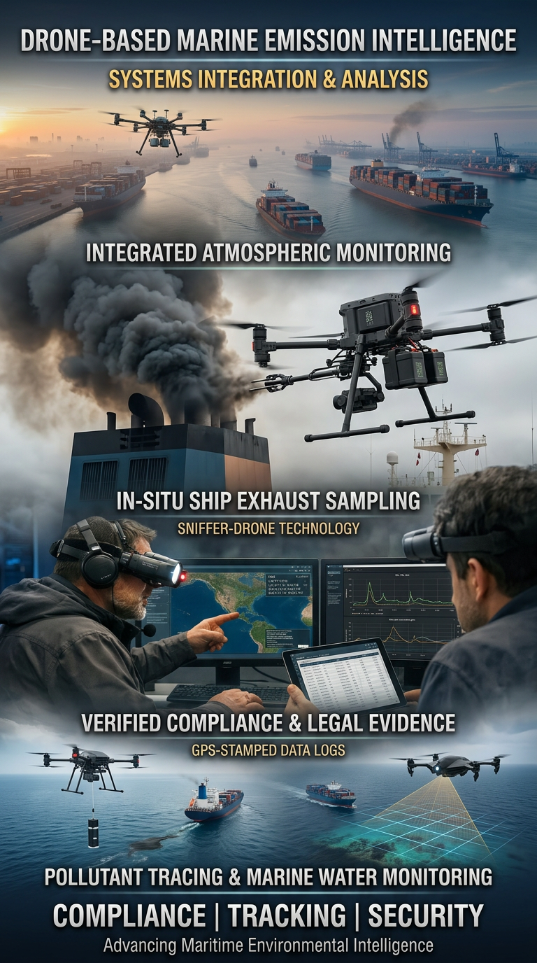
Drone Systems for Exhaust Gas Analysis
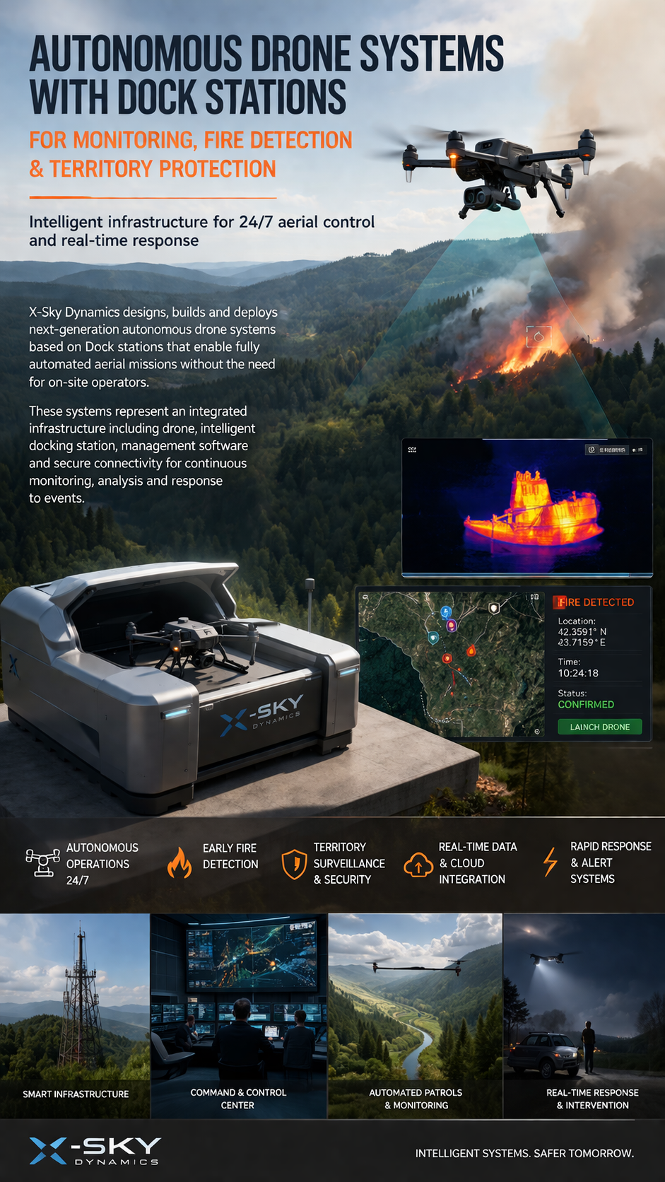
Dock Stations for Monitoring, Early Fire Detection
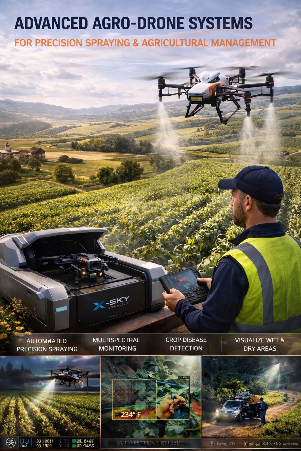
Agricultural Drone Systems for Precision Spraying, Spectral Monitoring
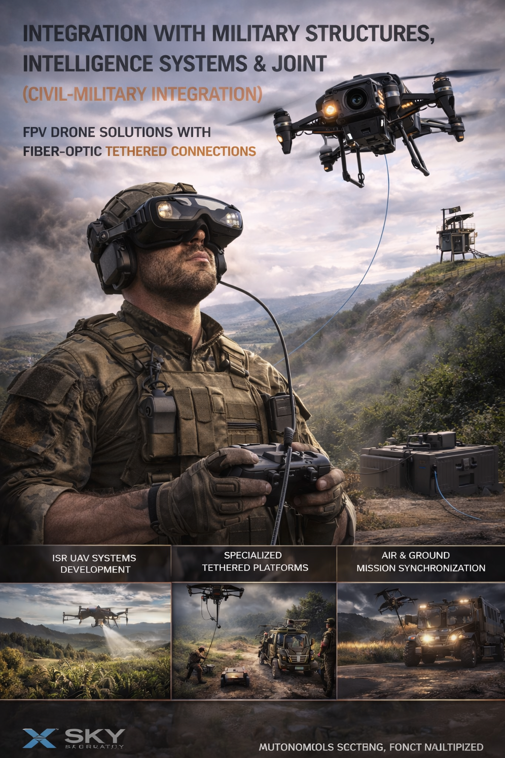
UAV – Drone Integration with Military
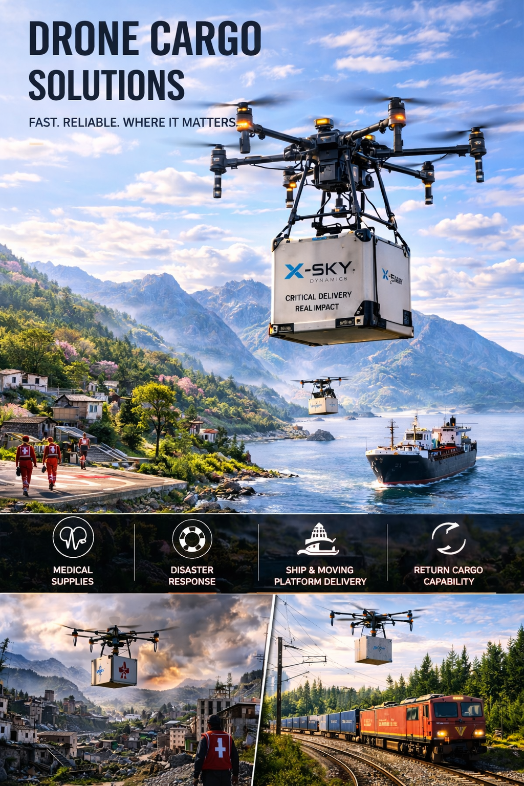
Cargo Transportation with Drones
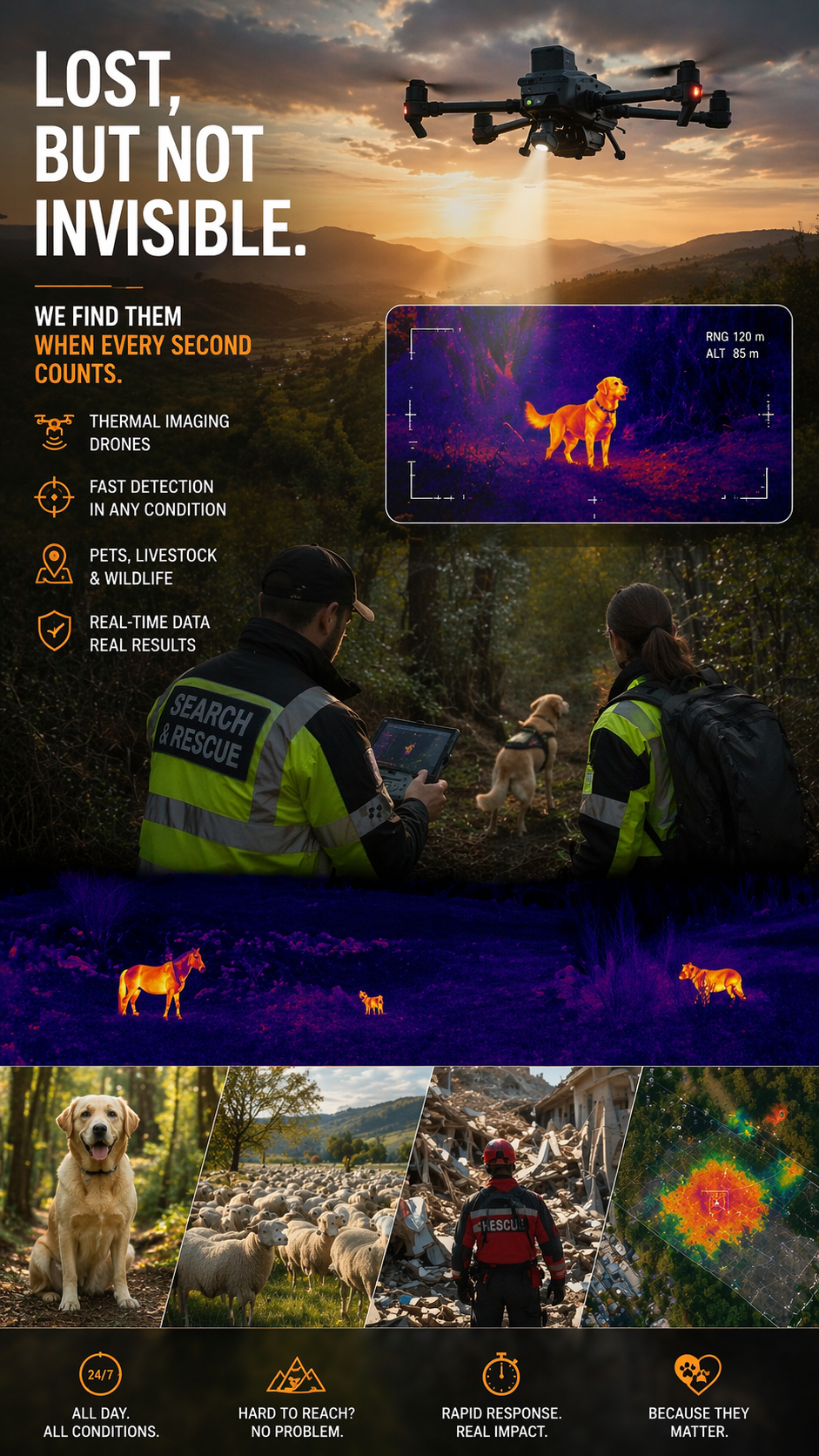
Search and Rescue of Pets and animals Using Drones
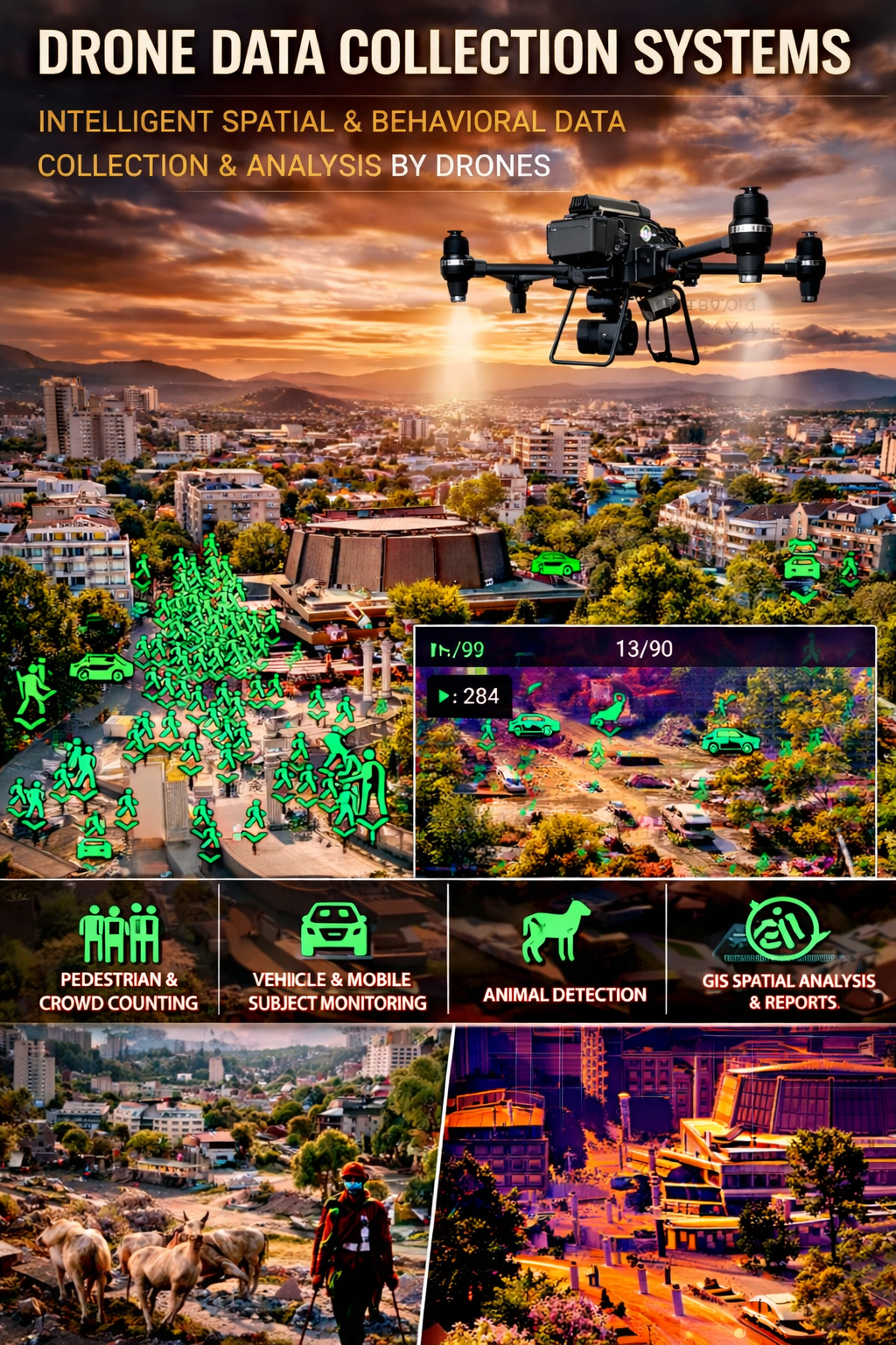
Drone Systems for Collecting Statistical Data
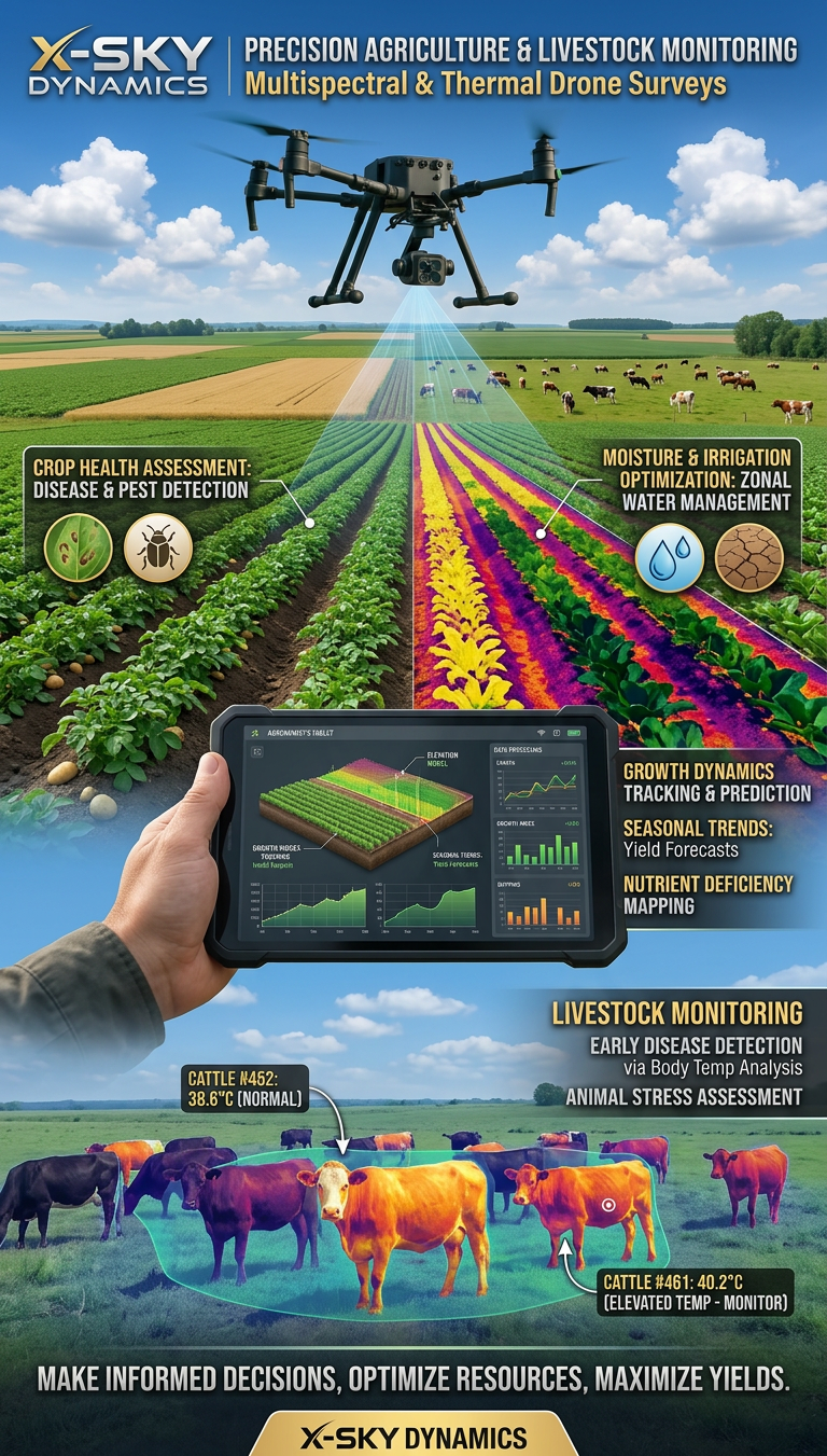
Multispectral and Thermal Drone Surveys for Agriculture
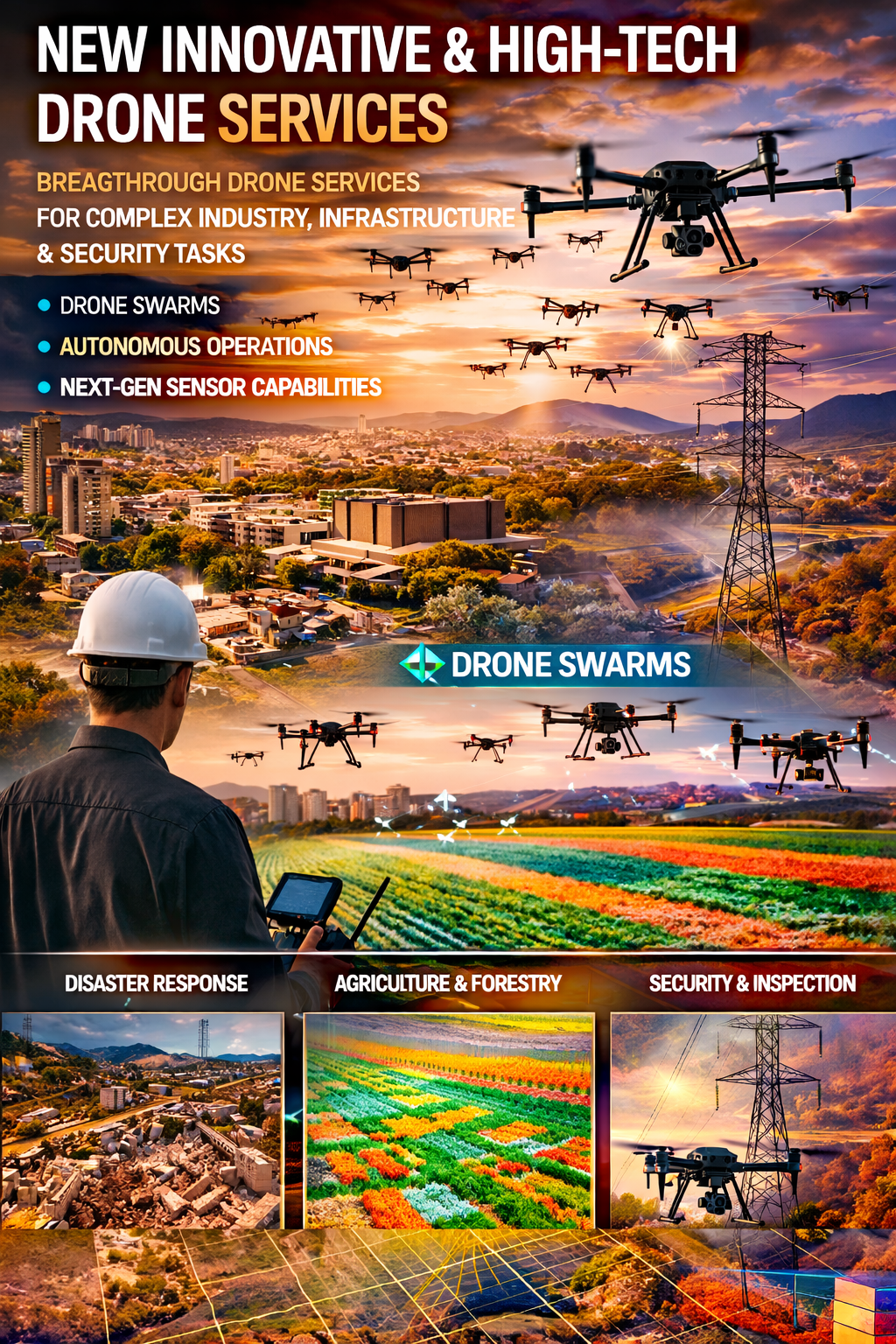
Innovative and High-Tech Drone Services
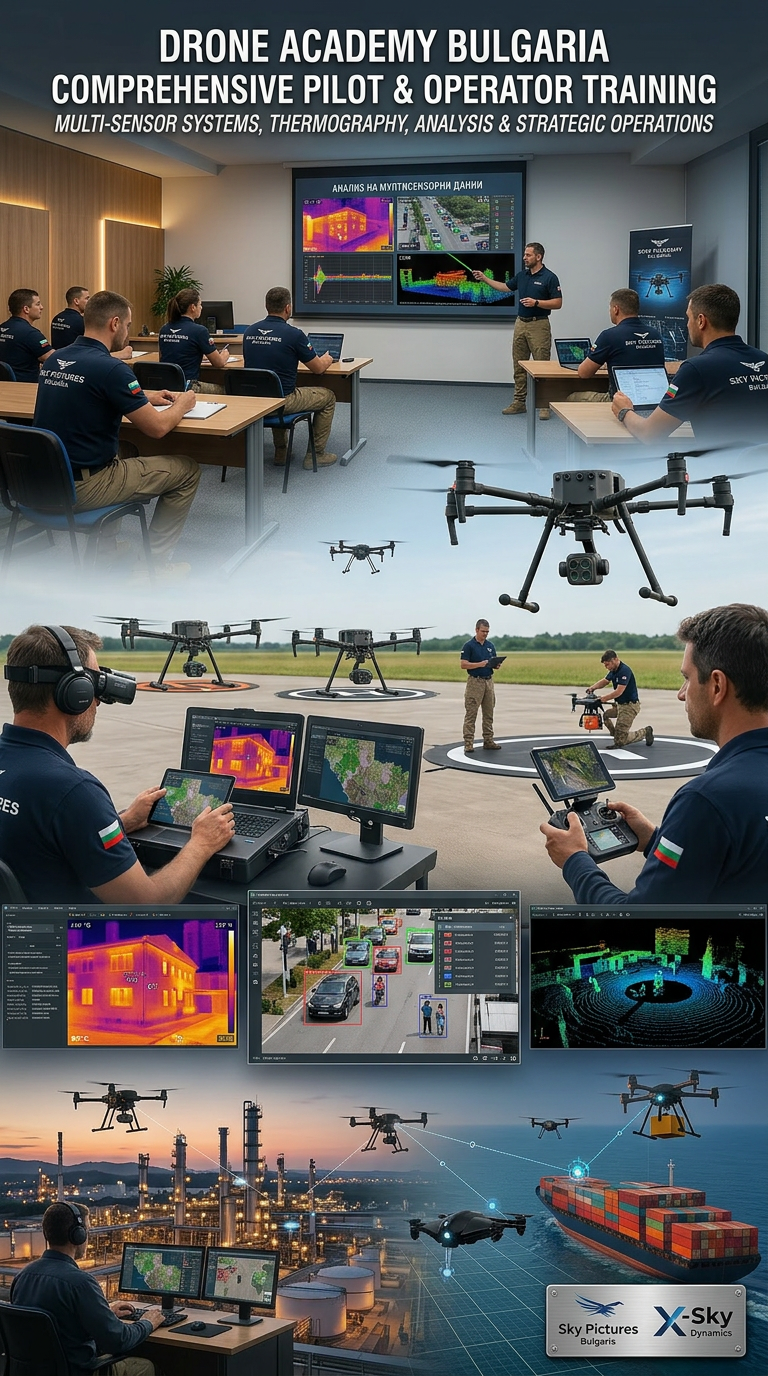
DRONE PILOTS AND OPERATORS TRAINING AND COURSES
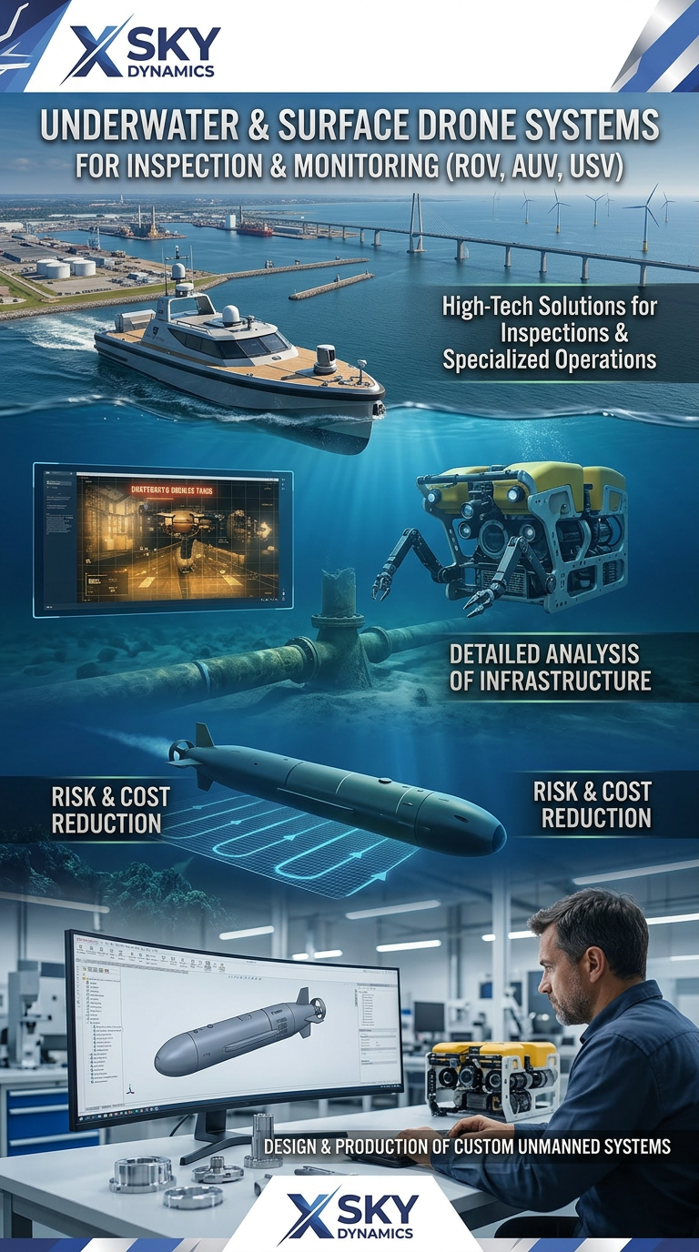
Underwater and Surface Drone Systems ROV, AUV, USV
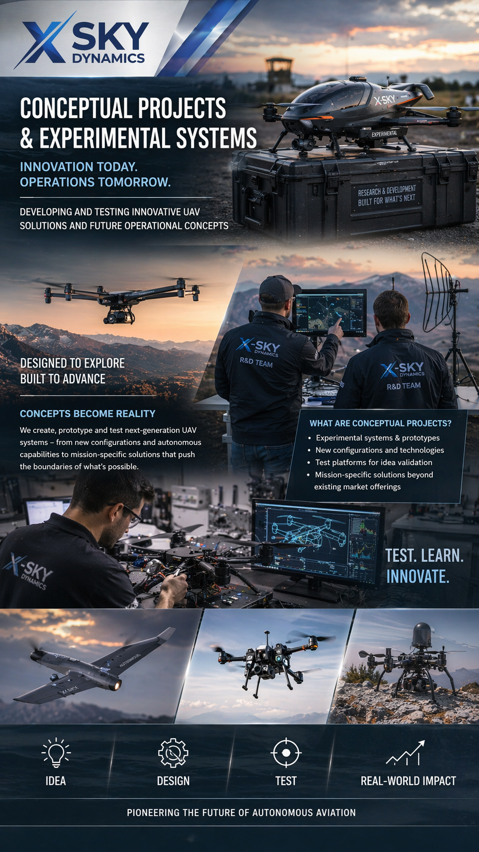
Concept Projects & Experimental UAV
Autonomous Drone Systems with Dock Stations
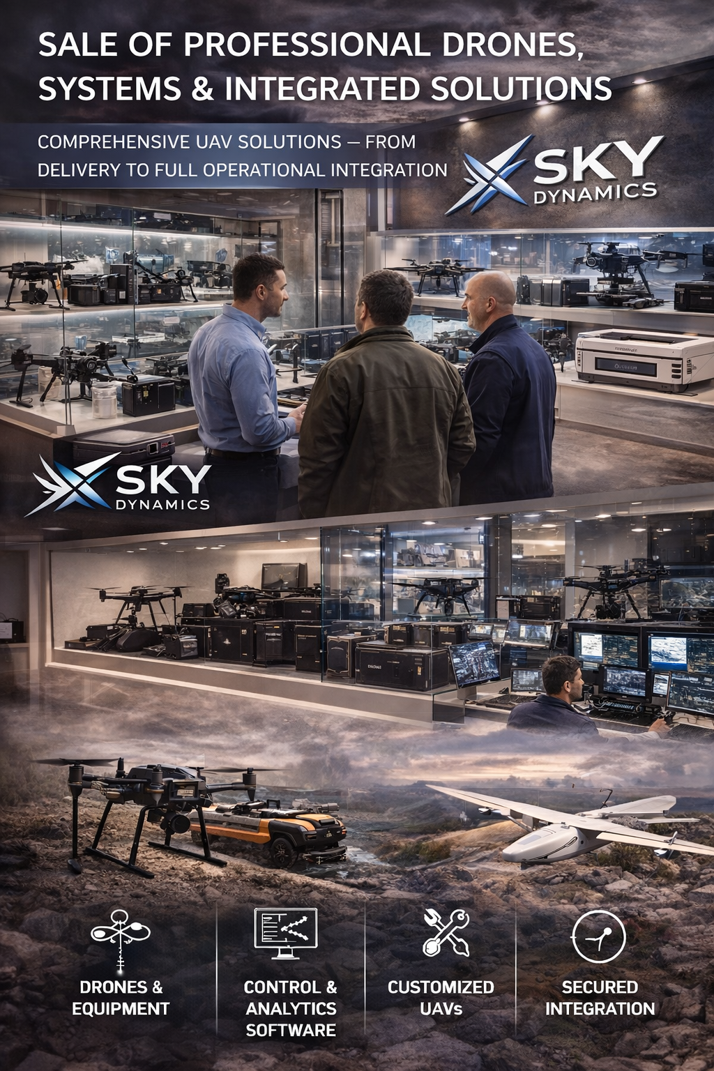
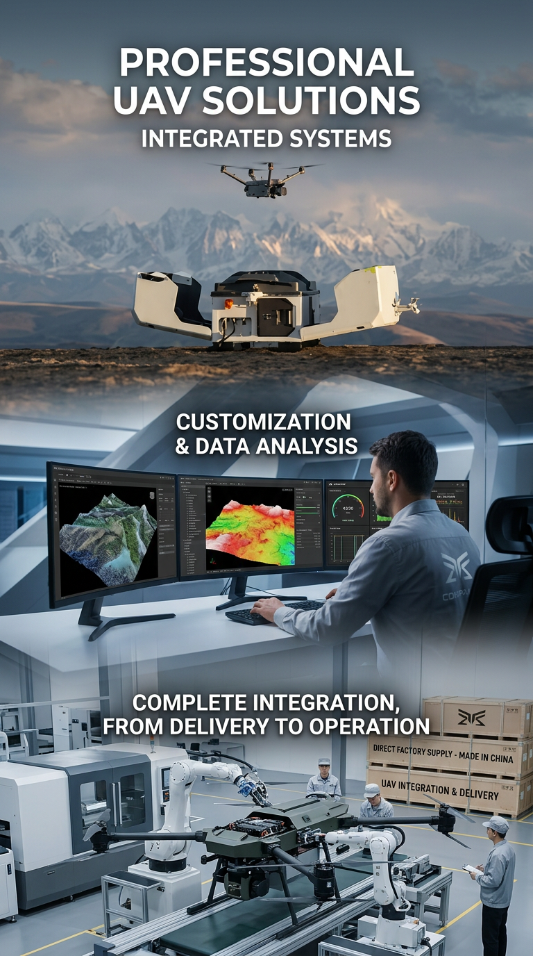
Sales of Professional Drones
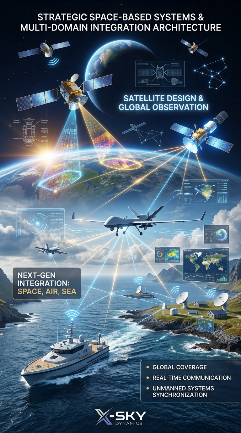
Satellite Imaging, Satellite Design and Integrated
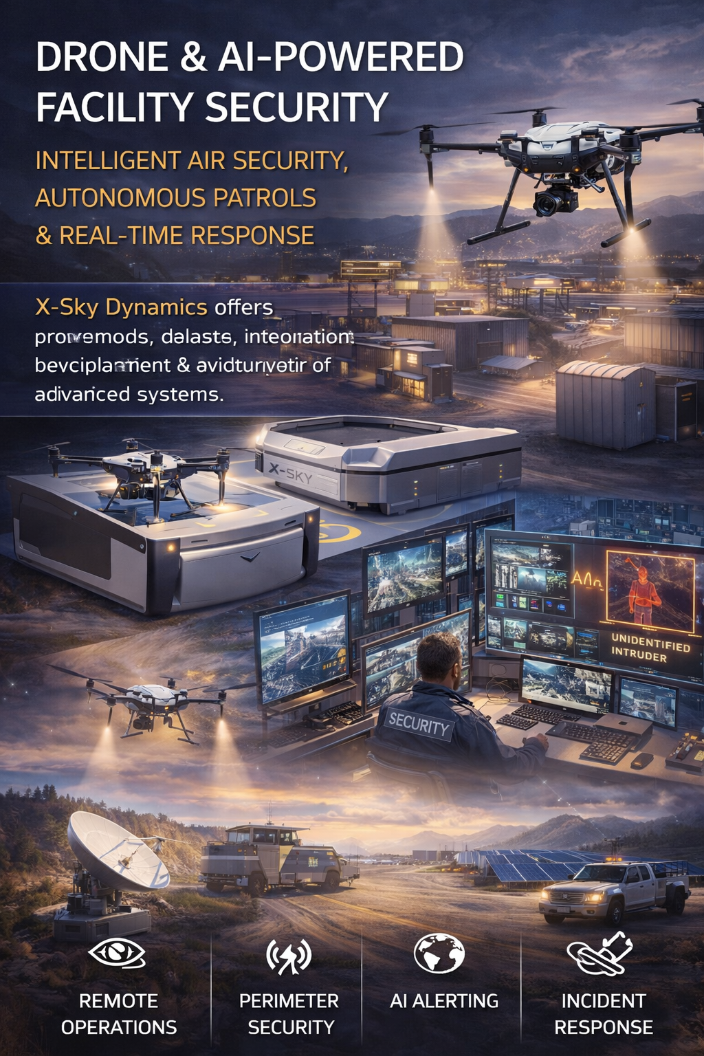
Security of Sites Through Drones AI Systems
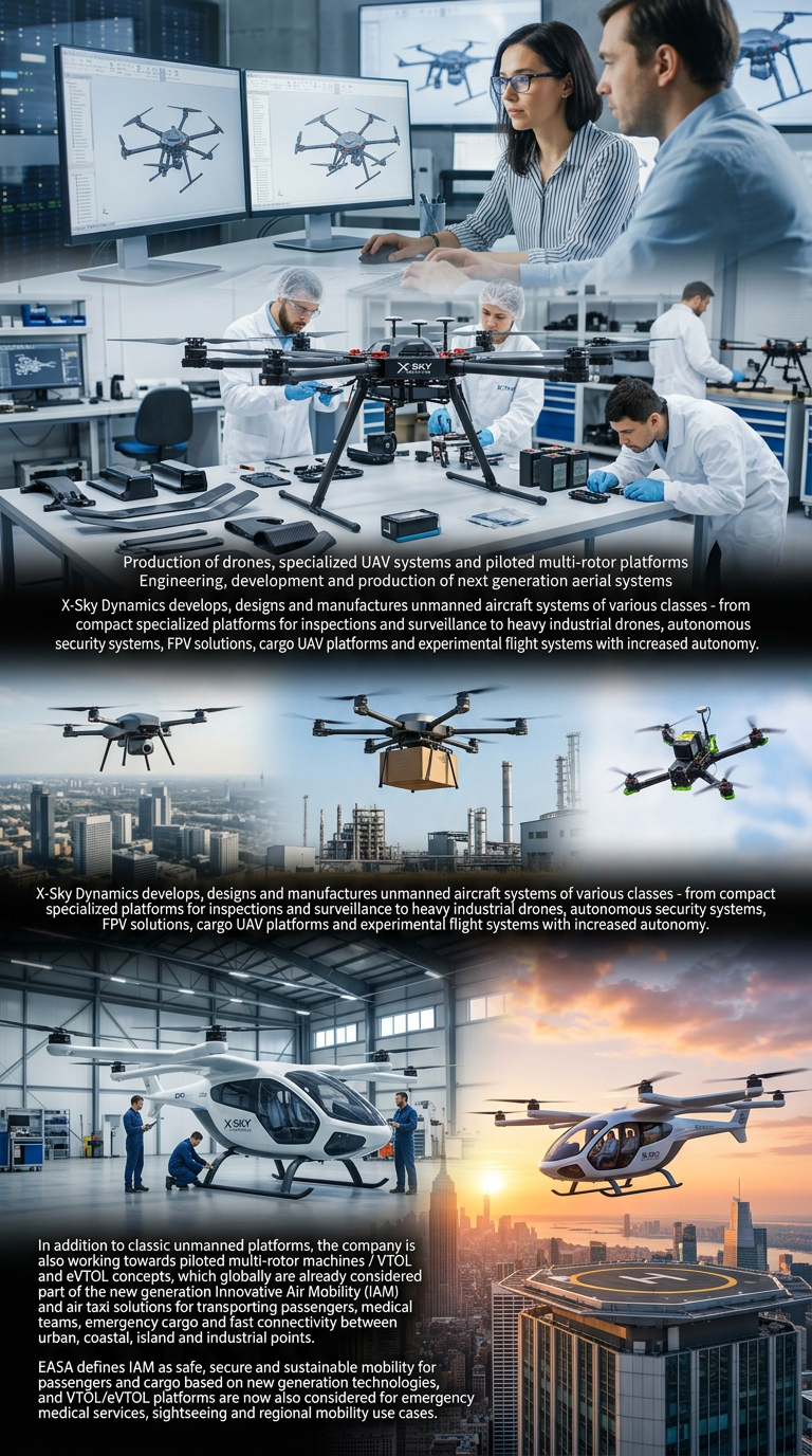
Drone Manufacturing and Manned Multirotor Platforms
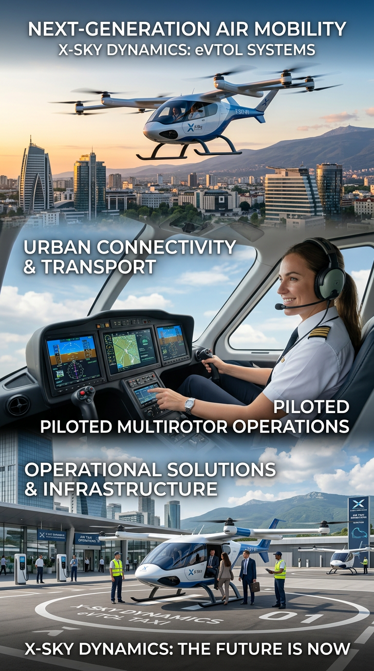
Air Taxis and eVTOL Systems
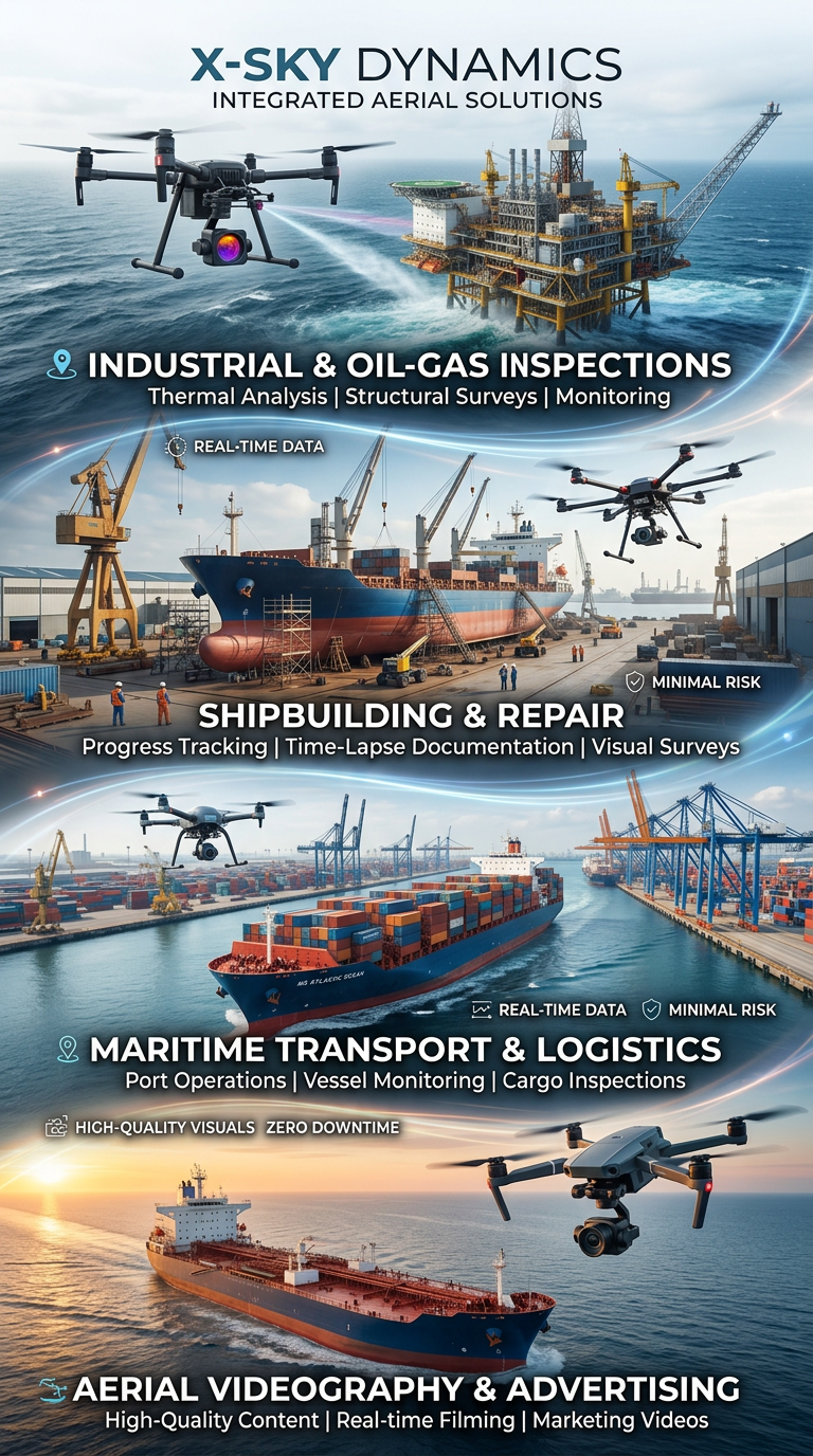
Drone and Video Services in Maritime Transport
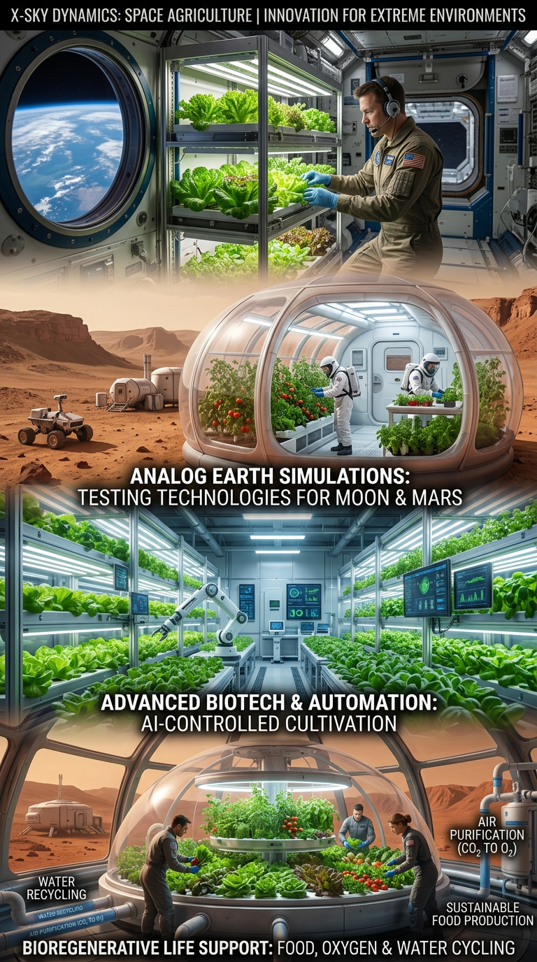
Space Agriculture, Agri-Systems for Extreme Environments

Cybersecurity, Cyber Defence and Protection of Critical Infrastructure
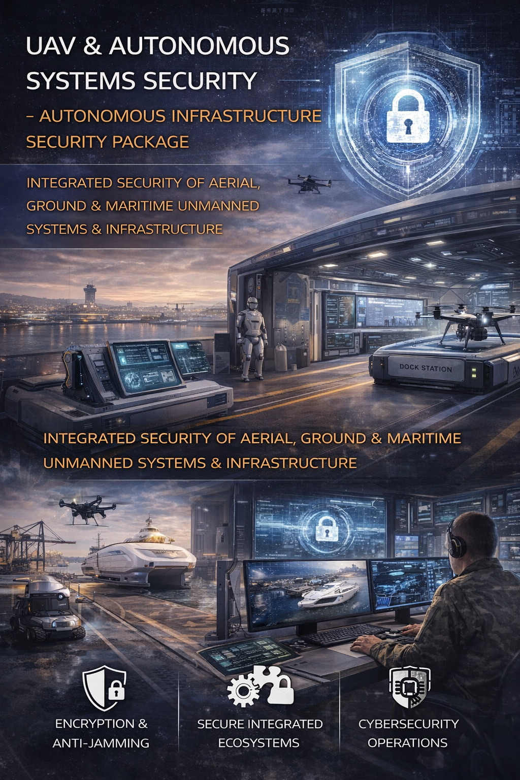
Cybersecurity and Protection of UAV and Autonomous Systems
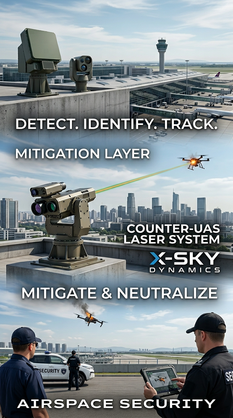
Counter-UAS, Laser and Kinetic Systems
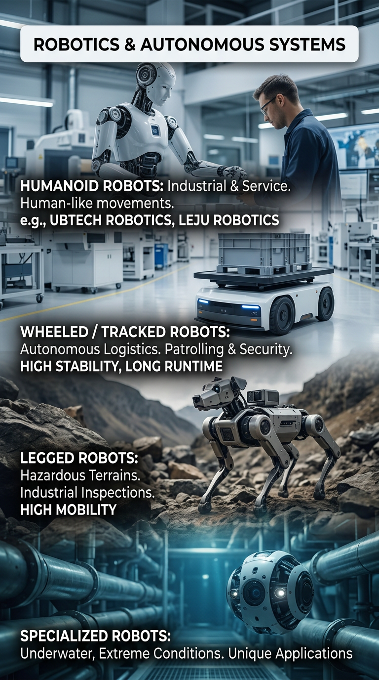
Robots and Autonomous Systems
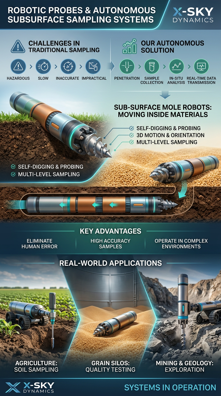
Robotic Probing Systems and Subsurface Technologies
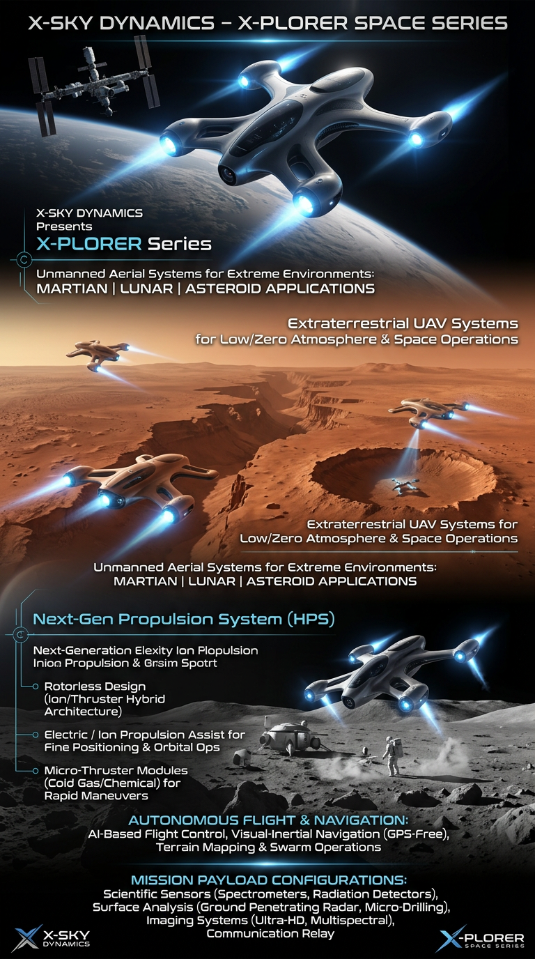
Space Drone systems SPACE X-PLORER SERIES

RAIGNV Partnership
Investors & Partners